1842 Hawthorne Ave Waverly, IA 50677
Estimated Value: $240,883 - $501,000
3
Beds
2
Baths
2,221
Sq Ft
$141/Sq Ft
Est. Value
About This Home
This home is located at 1842 Hawthorne Ave, Waverly, IA 50677 and is currently estimated at $314,221, approximately $141 per square foot. 1842 Hawthorne Ave is a home located in Bremer County with nearby schools including Waverly-Shell Rock Senior High School.
Ownership History
Date
Name
Owned For
Owner Type
Purchase Details
Closed on
Dec 8, 2022
Sold by
Mennenga Brian L and Mennenga Crystal L
Bought by
Zeien Marva
Current Estimated Value
Home Financials for this Owner
Home Financials are based on the most recent Mortgage that was taken out on this home.
Original Mortgage
$193,500
Outstanding Balance
$187,831
Interest Rate
7.08%
Mortgage Type
New Conventional
Estimated Equity
$126,390
Purchase Details
Closed on
Dec 31, 2008
Sold by
Mennenga Richrad L and Mennenga Sherri
Bought by
Mennenga Brian L and Mennenga Crystal L
Home Financials for this Owner
Home Financials are based on the most recent Mortgage that was taken out on this home.
Original Mortgage
$131,562
Interest Rate
4.78%
Mortgage Type
FHA
Purchase Details
Closed on
May 13, 2005
Sold by
Mennenga Patricia M
Bought by
Mennenga Richard L
Create a Home Valuation Report for This Property
The Home Valuation Report is an in-depth analysis detailing your home's value as well as a comparison with similar homes in the area
Home Values in the Area
Average Home Value in this Area
Purchase History
| Date | Buyer | Sale Price | Title Company |
|---|---|---|---|
| Zeien Marva | $215,000 | -- | |
| Mennenga Brian L | $134,000 | None Available | |
| Mennenga Richard L | -- | None Available |
Source: Public Records
Mortgage History
| Date | Status | Borrower | Loan Amount |
|---|---|---|---|
| Open | Zeien Marva | $193,500 | |
| Previous Owner | Mennenga Brian L | $131,562 |
Source: Public Records
Tax History Compared to Growth
Tax History
| Year | Tax Paid | Tax Assessment Tax Assessment Total Assessment is a certain percentage of the fair market value that is determined by local assessors to be the total taxable value of land and additions on the property. | Land | Improvement |
|---|---|---|---|---|
| 2025 | $2,454 | $244,330 | $125,000 | $119,330 |
| 2024 | $2,454 | $218,400 | $125,000 | $93,400 |
| 2023 | $2,146 | $207,540 | $99,500 | $108,040 |
| 2022 | $2,102 | $169,740 | $77,000 | $92,740 |
| 2021 | $2,308 | $169,740 | $77,000 | $92,740 |
| 2020 | $2,308 | $172,010 | $77,000 | $95,010 |
| 2019 | $2,286 | $172,010 | $0 | $0 |
| 2018 | $2,234 | $172,010 | $0 | $0 |
| 2017 | $2,234 | $151,290 | $0 | $0 |
| 2016 | $2,222 | $151,290 | $0 | $0 |
| 2015 | $2,222 | $141,390 | $0 | $0 |
| 2014 | $2,130 | $141,390 | $0 | $0 |
Source: Public Records
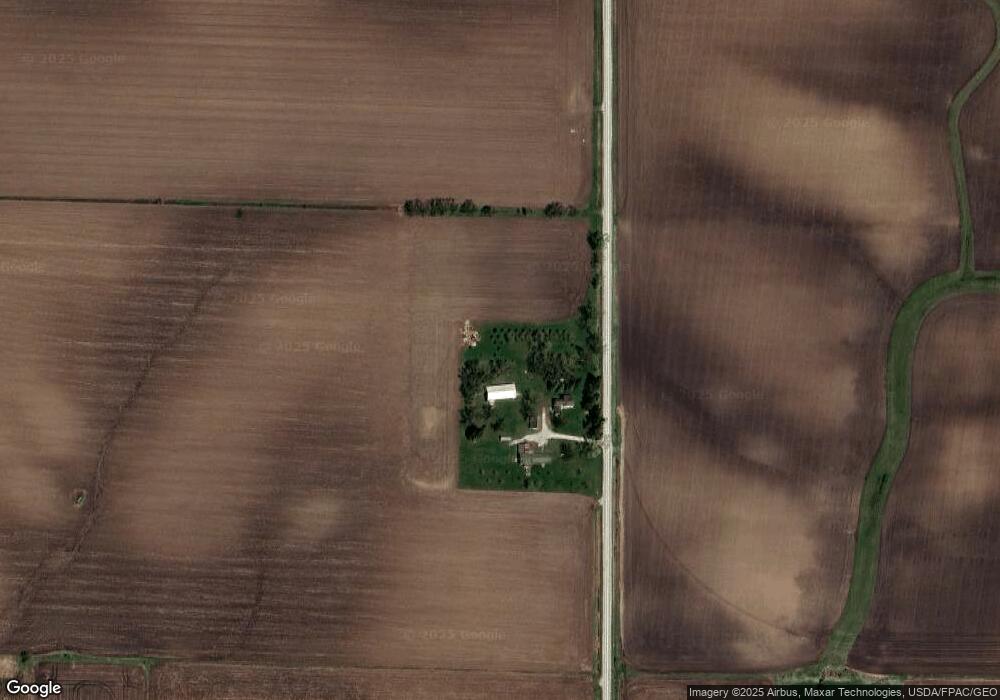
Map
Nearby Homes
- 114 Deerfield Cir Unit Whitetail Bluff Lot
- 110 Deerfield Cir Unit Whitetail Bluff Lot
- 102 Deerfield Cir Unit Whitetail Bluff Lot
- 106 Deerfield Cir Unit Whitetail Bluff Lot
- 1672 212th St
- 1527 Garden Ave
- 1366 190th St
- Lot 1B Cedar Square
- 505 Tumbleweed Trail
- 509 Tumbleweed Trail
- 1109 Copper Terrace
- 777 Cedar Glyn Dr
- 1058 NE 2nd Ave
- 1019 2nd Ave NE
- 207 Sandcastle Ln
- 128 Red Fox Trail
- 1111 Fawn Hollow Unit Whitetail Bluff Lot
- 1107 Fawn Hollow Unit Whitetail Bluff Lot
- 1014 1st Ave NE
- 102 9th Ave NW