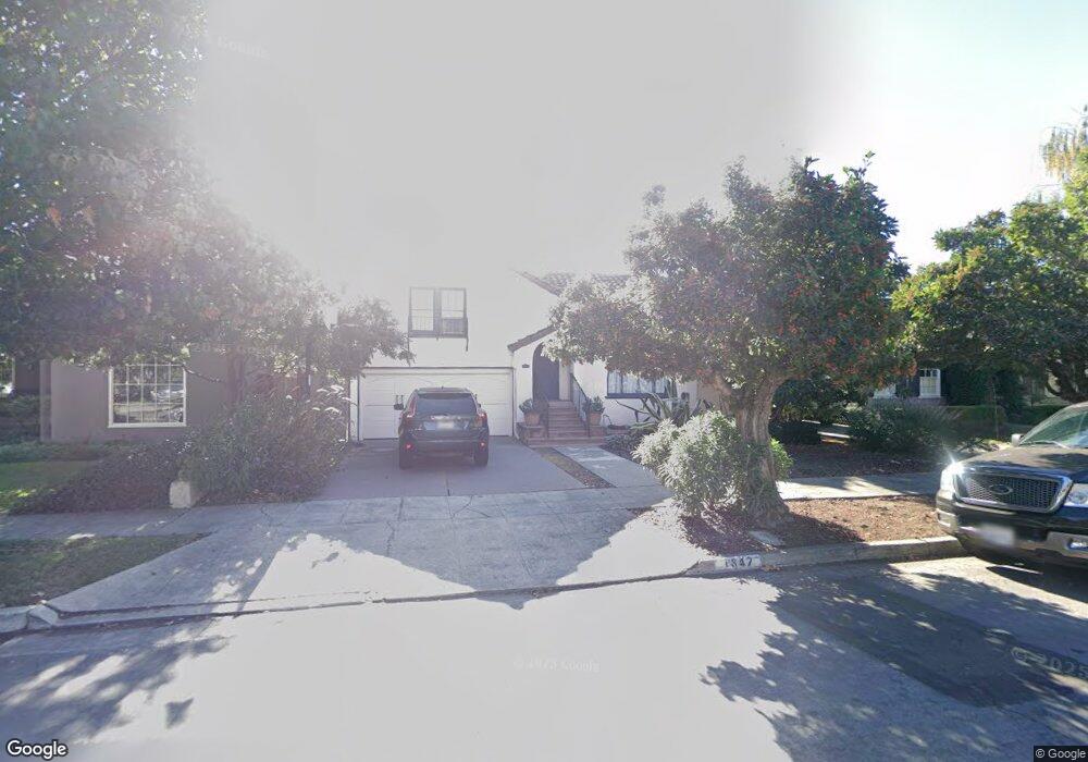
1842 Mcdaniel Ave San Jose, CA 95126
Rose Garden NeighborhoodEstimated Value: $1,623,100 - $1,959,000
2
Beds
2
Baths
1,407
Sq Ft
$1,276/Sq Ft
Est. Value
About This Home
This home is located at 1842 Mcdaniel Ave, San Jose, CA 95126 and is currently estimated at $1,795,025, approximately $1,275 per square foot. 1842 Mcdaniel Ave is a home located in Santa Clara County with nearby schools including Merritt Trace Elementary, Herbert Hoover Middle School, and Abraham Lincoln High.
Ownership History
Date
Name
Owned For
Owner Type
Purchase Details
Closed on
Oct 30, 2018
Sold by
Morrison Alan S and Morrison Lee S
Bought by
Morrison Alan S and Morrison Lee S
Current Estimated Value
Purchase Details
Closed on
Aug 19, 2008
Sold by
Harper Barbara and Campbell Mary
Bought by
Morrison Alan S and Morrison Lee S
Home Financials for this Owner
Home Financials are based on the most recent Mortgage that was taken out on this home.
Original Mortgage
$50,000
Interest Rate
6.59%
Mortgage Type
Stand Alone Second
Purchase Details
Closed on
Feb 19, 2008
Sold by
Harper Barbara and Campbell Mary
Bought by
Harper Barbara and Campbell Mary
Purchase Details
Closed on
Jun 18, 2004
Sold by
Levin Bessie Van Gorp
Bought by
Levin Bessie Van Gorp
Create a Home Valuation Report for This Property
The Home Valuation Report is an in-depth analysis detailing your home's value as well as a comparison with similar homes in the area
Home Values in the Area
Average Home Value in this Area
Purchase History
| Date | Buyer | Sale Price | Title Company |
|---|---|---|---|
| Morrison Alan S | -- | None Available | |
| Morrison Alan S | -- | None Available | |
| Morrison Alan S | $817,000 | Chicago Title Co | |
| Harper Barbara | -- | None Available | |
| Levin Bessie Van Gorp | -- | -- |
Source: Public Records
Mortgage History
| Date | Status | Borrower | Loan Amount |
|---|---|---|---|
| Closed | Morrison Alan S | $50,000 | |
| Open | Morrison Alan S | $417,000 |
Source: Public Records
Tax History Compared to Growth
Tax History
| Year | Tax Paid | Tax Assessment Tax Assessment Total Assessment is a certain percentage of the fair market value that is determined by local assessors to be the total taxable value of land and additions on the property. | Land | Improvement |
|---|---|---|---|---|
| 2025 | $13,428 | $1,052,091 | $772,653 | $279,438 |
| 2024 | $13,428 | $1,031,462 | $757,503 | $273,959 |
| 2023 | $13,174 | $1,011,238 | $742,650 | $268,588 |
| 2022 | $13,048 | $991,411 | $728,089 | $263,322 |
| 2021 | $13,330 | $971,972 | $713,813 | $258,159 |
| 2020 | $12,966 | $962,006 | $706,494 | $255,512 |
| 2019 | $12,660 | $943,144 | $692,642 | $250,502 |
| 2018 | $12,518 | $924,652 | $679,061 | $245,591 |
| 2017 | $12,410 | $906,523 | $665,747 | $240,776 |
| 2016 | $12,201 | $888,749 | $652,694 | $236,055 |
| 2015 | $12,125 | $875,400 | $642,890 | $232,510 |
| 2014 | $11,216 | $858,253 | $630,297 | $227,956 |
Source: Public Records
Map
Nearby Homes
- 1955 Naglee Ave
- 1803 Cleveland Ave
- 2026 Emory St
- 2469 Olive Ave
- 1567 Mcdaniel Ave
- 2473 Olive Ave
- 1433 Selborn Place
- 0 N Bascom Ave
- 1494 Mckendrie St
- 325 Irving Ave
- 323 Rutland Ave
- 1828 W San Carlos St
- 1945 Park Ave Unit 2
- 1830 Heatherdale Ave
- 418 Vaughn Ave Unit 1 & 2
- 1304 Randol Ave
- 1536 Shasta Ave
- 361 Halsey Ave
- 2183 Cherrystone Dr
- 439 Leland Ave
- 1856 Mcdaniel Ave
- 1828 Mcdaniel Ave
- 1870 Mcdaniel Ave
- 1818 Mcdaniel Ave
- 1843 Naglee Ave
- 1829 Naglee Ave
- 1857 Naglee Ave
- 1884 Mcdaniel Ave
- 1802 Mcdaniel Ave
- 1871 Naglee Ave
- 1815 Naglee Ave
- 1843 Mcdaniel Ave
- 1857 Mcdaniel Ave
- 1829 Mcdaniel Ave
- 1898 Mcdaniel Ave
- 1885 Naglee Ave
- 1801 Naglee Ave
- 1786 Mcdaniel Ave
- 1871 Mcdaniel Ave
- 1815 Mcdaniel Ave