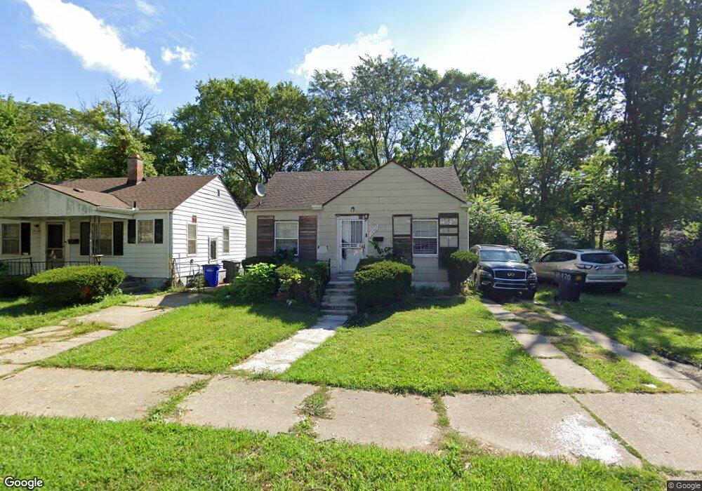
18420 Pierson St Unit Bldg-Unit Detroit, MI 48219
Holcomb Community NeighborhoodEstimated Value: $46,000 - $109,774
--
Bed
1
Bath
672
Sq Ft
$110/Sq Ft
Est. Value
About This Home
This home is located at 18420 Pierson St Unit Bldg-Unit, Detroit, MI 48219 and is currently estimated at $74,194, approximately $110 per square foot. 18420 Pierson St Unit Bldg-Unit is a home located in Wayne County with nearby schools including Ralph W. Emerson Elementary-Middle School, Charles L. Spain Elementary-Middle School, and Edward 'Duke' Ellington Conservatory of Music and Art.
Ownership History
Date
Name
Owned For
Owner Type
Purchase Details
Closed on
Mar 30, 2018
Sold by
Fannie Mae
Bought by
Cuan Sebastian
Current Estimated Value
Purchase Details
Closed on
Jan 5, 2017
Sold by
Mortage Holmes Howard Donna Renee
Bought by
Federal National Mortage Assocition
Purchase Details
Closed on
Nov 29, 2006
Sold by
Phoenix Real Estate Co
Bought by
Holmes Howard Donna Renee
Purchase Details
Closed on
Mar 8, 2006
Sold by
Sarason Frances L and Sarason Burton Z
Bought by
Phoenix Real Estate Co
Create a Home Valuation Report for This Property
The Home Valuation Report is an in-depth analysis detailing your home's value as well as a comparison with similar homes in the area
Home Values in the Area
Average Home Value in this Area
Purchase History
| Date | Buyer | Sale Price | Title Company |
|---|---|---|---|
| Cuan Sebastian | $6,000 | None Available | |
| Federal National Mortage Assocition | $7,700 | None Available | |
| Holmes Howard Donna Renee | $74,000 | Clearly Title | |
| Phoenix Real Estate Co | $15,000 | Commonwealth Land Title |
Source: Public Records
Tax History Compared to Growth
Tax History
| Year | Tax Paid | Tax Assessment Tax Assessment Total Assessment is a certain percentage of the fair market value that is determined by local assessors to be the total taxable value of land and additions on the property. | Land | Improvement |
|---|---|---|---|---|
| 2025 | $888 | $22,800 | $0 | $0 |
| 2024 | $888 | $19,500 | $0 | $0 |
| 2023 | $861 | $15,200 | $0 | $0 |
| 2022 | $420 | $12,300 | $0 | $0 |
| 2021 | $1,196 | $8,700 | $0 | $0 |
| 2020 | $889 | $8,900 | $0 | $0 |
| 2019 | $877 | $7,200 | $0 | $0 |
| 2018 | $679 | $5,700 | $0 | $0 |
| 2017 | $110 | $5,800 | $0 | $0 |
| 2016 | $792 | $9,200 | $0 | $0 |
| 2015 | $920 | $9,200 | $0 | $0 |
| 2013 | $1,290 | $12,903 | $0 | $0 |
| 2010 | -- | $18,487 | $820 | $17,667 |
Source: Public Records
Map
Nearby Homes
- 18421 Braile St
- 18427 Braile St
- 18269 Patton St
- 18263 Patton St
- 18550 Pierson St
- 18525 Burt Rd
- 18424 Fielding St
- 18260 Fielding St
- 18557 Fielding St
- 18411 Stout St
- 18451 Stout St
- 18529 Trinity St
- 17743 Trinity St
- 18274 Stout St
- 18961 Pierson St
- 18254 Stout St
- 18220 Stout St
- 18241 Kentfield St
- 18985 Trinity St
- 18995 Fielding St
- 18420 Pierson St
- 18426 Pierson St
- 18412 Pierson St
- 18400 Pierson St
- 18434 Pierson St
- 18442 Pierson St
- 18411 Braile St
- 18403 Braile St
- 18435 Braile St
- 18443 Braile St
- 18450 Pierson St
- 18421 Pierson St
- 18427 Pierson St
- 17870 Pierson St
- 18403 Pierson St
- 18435 Pierson St
- 18449 Braile St
- 18458 Pierson St
- 18443 Pierson St
- 18426 Braile St