18423 Kensler Rd Middle Point, OH 45863
Estimated Value: $192,000
2
Beds
1
Bath
2,153
Sq Ft
$89/Sq Ft
Est. Value
About This Home
This home is located at 18423 Kensler Rd, Middle Point, OH 45863 and is currently priced at $192,000, approximately $89 per square foot. 18423 Kensler Rd is a home located in Van Wert County with nearby schools including Lincolnview Elementary School and Lincolnview Junior/Senior High School.
Ownership History
Date
Name
Owned For
Owner Type
Purchase Details
Closed on
May 1, 2020
Sold by
Thompson Robbie R and Thompson Jodi K
Bought by
Rjlw Llc
Current Estimated Value
Purchase Details
Closed on
Oct 3, 2019
Sold by
Thompson Robbie R and Thompson Jodi K
Bought by
Paton William T and Paton Lauren K
Purchase Details
Closed on
Feb 6, 2019
Sold by
Steingass Juli R and Thompson Robbie R
Bought by
Thompson Robbie R and Thompson Jodi K
Home Financials for this Owner
Home Financials are based on the most recent Mortgage that was taken out on this home.
Original Mortgage
$122,500
Interest Rate
4.5%
Mortgage Type
New Conventional
Create a Home Valuation Report for This Property
The Home Valuation Report is an in-depth analysis detailing your home's value as well as a comparison with similar homes in the area
Home Values in the Area
Average Home Value in this Area
Purchase History
| Date | Buyer | Sale Price | Title Company |
|---|---|---|---|
| Rjlw Llc | -- | None Available | |
| Paton William T | -- | None Available | |
| Thompson Robbie R | $119,900 | None Available |
Source: Public Records
Mortgage History
| Date | Status | Borrower | Loan Amount |
|---|---|---|---|
| Previous Owner | Thompson Robbie R | $122,500 |
Source: Public Records
Tax History Compared to Growth
Tax History
| Year | Tax Paid | Tax Assessment Tax Assessment Total Assessment is a certain percentage of the fair market value that is determined by local assessors to be the total taxable value of land and additions on the property. | Land | Improvement |
|---|---|---|---|---|
| 2020 | $2,666 | $58,270 | $27,510 | $30,760 |
| 2019 | $2,932 | $72,460 | $42,800 | $29,660 |
| 2018 | $2,902 | $72,460 | $42,800 | $29,660 |
| 2017 | $2,957 | $73,870 | $44,210 | $29,660 |
| 2016 | $3,081 | $85,950 | $55,660 | $30,290 |
| 2015 | $2,908 | $84,500 | $55,660 | $28,840 |
| 2014 | $3,030 | $85,330 | $55,400 | $29,930 |
| 2013 | $2,059 | $57,500 | $27,570 | $29,930 |
Source: Public Records
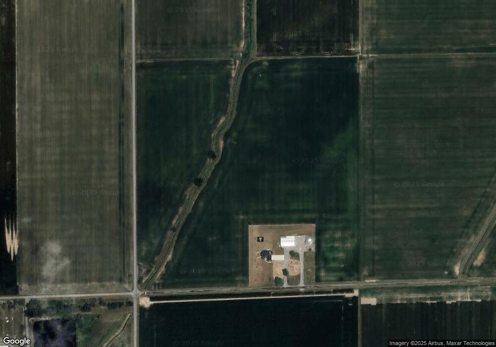
Map
Nearby Homes
- TBD Dog Creek Rd
- 201 W South St
- 104 W Railroad St
- 104 W South St
- 19318 Middle Point Rd
- 8848 Boroff Rd
- 14995 Middle Point Rd
- 14162 Overholt Rd
- 919 E Sycamore St
- 1236 E Ervin Rd
- 1049 Chippewa Dr
- 914 E Crawford St
- 1057 Maxine Ln
- 623 N Cherry St
- 409 N Cherry St
- 600 N Walnut St
- 515 S Race St
- 692 N Market St
- 656 N Market St
- 517 N Walnut St
- 18720 Kensler Rd
- 18370 Church Rd
- 18194 Church Rd
- 18231 Church Rd
- 18451 Church Rd
- 18103 Church Rd
- 8005 Baker Rd
- 18043 Church Rd
- 8042 Baker Rd
- 17907 Church Rd
- 17885 Church Rd
- 18905 Church Rd
- 7344 Dog Creek Rd
- 17661 Church Rd
- 17699 Church Rd
- 17627 Church Rd
- 7873 Dog Creek Rd
- 8174 Dog Creek Rd
- 7265 Dog Creek Rd