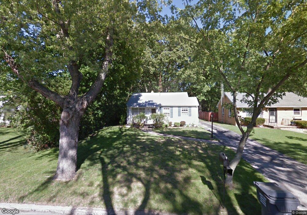
1843 Commonwealth Rd Benton Harbor, MI 49022
Fair Plain NeighborhoodEstimated Value: $143,145 - $176,000
2
Beds
1
Bath
784
Sq Ft
$208/Sq Ft
Est. Value
About This Home
This home is located at 1843 Commonwealth Rd, Benton Harbor, MI 49022 and is currently estimated at $163,036, approximately $207 per square foot. 1843 Commonwealth Rd is a home located in Berrien County with nearby schools including Fair Plain Middle School, Benton Harbor High School, and Mildred C. Wells Preparatory Academy.
Ownership History
Date
Name
Owned For
Owner Type
Purchase Details
Closed on
Mar 20, 2025
Sold by
Barbara L Sweet Revocable Living Trust and Sweet Candice L
Bought by
Sweet Todd M
Current Estimated Value
Purchase Details
Closed on
Feb 1, 2019
Sold by
Unknown
Bought by
Sweet Barbara L
Purchase Details
Closed on
Jan 24, 2019
Sold by
Sweet Barbara and Sweet Barbara L
Bought by
Sweet Barbara L and The Barbara L Sweet Revocable
Purchase Details
Closed on
Sep 30, 2015
Sold by
Sweet Barbara and Estate Of Freda Louise Marceau
Bought by
Sweet Barbara
Purchase Details
Closed on
Jun 21, 1977
Purchase Details
Closed on
Aug 1, 1975
Create a Home Valuation Report for This Property
The Home Valuation Report is an in-depth analysis detailing your home's value as well as a comparison with similar homes in the area
Home Values in the Area
Average Home Value in this Area
Purchase History
| Date | Buyer | Sale Price | Title Company |
|---|---|---|---|
| Sweet Todd M | -- | First American Title | |
| Sweet Todd M | -- | First American Title | |
| Sweet Barbara L | -- | None Listed On Document | |
| Sweet Barbara L | -- | None Available | |
| Sweet Barbara | -- | Attorney | |
| -- | $22,000 | -- | |
| -- | $19,000 | -- |
Source: Public Records
Tax History
| Year | Tax Paid | Tax Assessment Tax Assessment Total Assessment is a certain percentage of the fair market value that is determined by local assessors to be the total taxable value of land and additions on the property. | Land | Improvement |
|---|---|---|---|---|
| 2025 | $1,705 | $56,900 | $0 | $0 |
| 2024 | $1,271 | $49,800 | $0 | $0 |
| 2023 | $1,210 | $37,900 | $0 | $0 |
| 2022 | $1,153 | $35,800 | $0 | $0 |
| 2021 | $1,490 | $38,100 | $7,400 | $30,700 |
| 2020 | $1,420 | $36,900 | $0 | $0 |
| 2019 | $1,371 | $31,800 | $5,000 | $26,800 |
| 2018 | $1,314 | $31,800 | $0 | $0 |
| 2017 | $1,293 | $32,500 | $0 | $0 |
| 2016 | $1,260 | $32,200 | $0 | $0 |
| 2015 | $1,257 | $28,800 | $0 | $0 |
| 2014 | $480 | $28,100 | $0 | $0 |
Source: Public Records
Map
Nearby Homes
- 1772 Lombard St
- 1968 Colfax Ave
- 478 Gary Ave
- 298 Bradford Rd
- 205 Jamesway
- 167 E Delaware Ave
- 244 Downey Dr
- 379 Western Ave
- 2294 Colfax Ave
- 1295 Pontiac Rd
- 287 Nickerson Ave
- 1298 Colfax Ave
- 180 Emery Ave
- 1593 Columbus Ave
- 1712 W Ogden Cir
- 2511 Riverwood Terrace
- V/L Mcalister
- 533 Eloise Dr
- 1238 Broadway
- 1216 Broadway
- 1797 Commonwealth Rd
- 1817 Commonwealth Rd
- 1853 Commonwealth Rd
- 1834 Commonwealth Rd
- 1793 Commonwealth Rd
- 1862 Lombard St
- 1852 Commonwealth Rd
- 1816 Commonwealth Rd
- 1861 Commonwealth Rd
- 1789 Commonwealth Rd
- 1854 Lombard St
- 1874 Lombard St
- 1842 Lombard St
- 1836 Lombard St
- 1886 Lombard St
- 1798 Commonwealth Rd
- 1874 Commonwealth Rd
- 1824 Lombard St
- 1790 Commonwealth Rd
- 1773 Commonwealth Rd
Your Personal Tour Guide
Ask me questions while you tour the home.