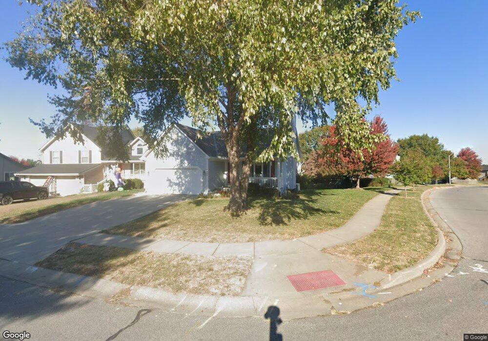
1843 Current St Liberty, MO 64068
Estimated Value: $294,616 - $319,000
3
Beds
3
Baths
1,186
Sq Ft
$263/Sq Ft
Est. Value
About This Home
This home is located at 1843 Current St, Liberty, MO 64068 and is currently estimated at $312,404, approximately $263 per square foot. 1843 Current St is a home located in Clay County with nearby schools including Lillian Schumacher Elementary School, Liberty Middle School, and Liberty High School.
Ownership History
Date
Name
Owned For
Owner Type
Purchase Details
Closed on
May 1, 2009
Sold by
Smith Donna C and Smith William M
Bought by
Howell Grady J and Howell Vivian A
Current Estimated Value
Home Financials for this Owner
Home Financials are based on the most recent Mortgage that was taken out on this home.
Original Mortgage
$90,000
Outstanding Balance
$57,413
Interest Rate
5.03%
Mortgage Type
Purchase Money Mortgage
Estimated Equity
$254,991
Purchase Details
Closed on
Mar 17, 1997
Sold by
Robertson Robert Lee and Robertson Nancy S
Bought by
Warnes Donna C
Create a Home Valuation Report for This Property
The Home Valuation Report is an in-depth analysis detailing your home's value as well as a comparison with similar homes in the area
Purchase History
| Date | Buyer | Sale Price | Title Company |
|---|---|---|---|
| Howell Grady J | -- | Missouri Secured Title Lees | |
| Warnes Donna C | -- | Thomson Title Corporation |
Source: Public Records
Mortgage History
| Date | Status | Borrower | Loan Amount |
|---|---|---|---|
| Open | Howell Grady J | $90,000 |
Source: Public Records
Tax History
| Year | Tax Paid | Tax Assessment Tax Assessment Total Assessment is a certain percentage of the fair market value that is determined by local assessors to be the total taxable value of land and additions on the property. | Land | Improvement |
|---|---|---|---|---|
| 2025 | $2,949 | $44,060 | -- | -- |
| 2024 | $2,949 | $38,340 | -- | -- |
| 2023 | $2,999 | $38,340 | $0 | $0 |
| 2022 | $2,816 | $35,550 | $0 | $0 |
| 2021 | $2,794 | $35,549 | $6,650 | $28,899 |
| 2020 | $2,537 | $30,310 | $0 | $0 |
| 2019 | $2,536 | $30,310 | $0 | $0 |
Source: Public Records
Map
Nearby Homes
- 1846 Mallard Dr
- 1205 Robin Cir
- 939 Goldfinch Ln
- 1877 Chickadee Dr
- 900 Shiloh Ct
- 2218 Liberty Landing Rd
- 2600 Magnolia Ave
- 822 Sherrill Ave
- 1200 Silverleaf Ct
- 1059 Fir Ln
- 1026 Jasmine Dr
- 1022 Jasmine Dr
- 1015 Poplar Ln
- 1007 Poplar Ln
- 1027 Fir Ln
- 1012 Poplar Ln
- 988 Poplar Ln
- 1015 Fir Ln
- 904 Paw Ln
- 709 Red Maple Dr
- 1847 Current St
- 1151 Meadowlark Ln
- 1851 Current St
- 1840 Current St
- 1850 Mallard Dr
- 1205 Meadowlark Ct
- 1147 Meadowlark Ln
- 1209 Meadowlark Ct
- 1216 Mockingbird Ln
- 1213 Meadowlark Ct
- 1143 Meadowlark Ln
- 1848 Current St
- 1859 Claywoods Pkwy
- 1842 Mallard Dr
- 1139 Meadowlark Ln
- 1220 Mockingbird Ln
- 1838 Mallard Dr
- 1217 Meadowlark Ct
- 1852 Current St
- 1150 Meadowlark Ln
Your Personal Tour Guide
Ask me questions while you tour the home.