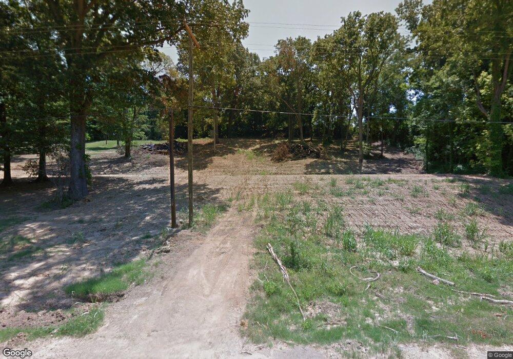
18430 State Route 59 W Drummonds, TN 38023
Estimated Value: $220,150 - $322,000
--
Bed
--
Bath
2,074
Sq Ft
$135/Sq Ft
Est. Value
About This Home
This home is located at 18430 State Route 59 W, Drummonds, TN 38023 and is currently estimated at $279,288, approximately $134 per square foot. 18430 State Route 59 W is a home with nearby schools including Drummonds Elementary School, Munford Middle School, and Munford High School.
Ownership History
Date
Name
Owned For
Owner Type
Purchase Details
Closed on
Oct 7, 2020
Sold by
Mcpherson Dale and Mcpherson Mary Cooley
Bought by
Harden Jay Westley and Harden Tina Marie
Current Estimated Value
Purchase Details
Closed on
Jan 19, 1998
Bought by
Dale Mcpherson
Home Financials for this Owner
Home Financials are based on the most recent Mortgage that was taken out on this home.
Original Mortgage
$22,000
Interest Rate
7.16%
Purchase Details
Closed on
Jun 22, 1993
Bought by
Mcpherson Mary Cooley
Purchase Details
Closed on
Jan 12, 1974
Bought by
Jackson Jackson B and Jackson Margaret W
Purchase Details
Closed on
Feb 23, 1973
Purchase Details
Closed on
Nov 17, 1969
Purchase Details
Closed on
Apr 12, 1955
Create a Home Valuation Report for This Property
The Home Valuation Report is an in-depth analysis detailing your home's value as well as a comparison with similar homes in the area
Home Values in the Area
Average Home Value in this Area
Purchase History
| Date | Buyer | Sale Price | Title Company |
|---|---|---|---|
| Harden Jay Westley | -- | Accommodation | |
| Dale Mcpherson | -- | -- | |
| Mcpherson Mary Cooley | $93,500 | -- | |
| Jackson Jackson B | -- | -- | |
| -- | -- | -- | |
| -- | -- | -- | |
| -- | -- | -- |
Source: Public Records
Mortgage History
| Date | Status | Borrower | Loan Amount |
|---|---|---|---|
| Previous Owner | Not Available | $22,000 |
Source: Public Records
Tax History Compared to Growth
Tax History
| Year | Tax Paid | Tax Assessment Tax Assessment Total Assessment is a certain percentage of the fair market value that is determined by local assessors to be the total taxable value of land and additions on the property. | Land | Improvement |
|---|---|---|---|---|
| 2024 | $671 | $44,125 | $11,075 | $33,050 |
| 2023 | $671 | $44,125 | $11,075 | $33,050 |
| 2022 | $635 | $31,125 | $8,150 | $22,975 |
| 2021 | $635 | $31,125 | $8,150 | $22,975 |
| 2020 | $635 | $31,125 | $8,150 | $22,975 |
| 2019 | $647 | $26,750 | $7,550 | $19,200 |
| 2018 | $647 | $26,750 | $7,550 | $19,200 |
| 2017 | $647 | $26,750 | $7,550 | $19,200 |
| 2016 | $647 | $26,750 | $7,550 | $19,200 |
| 2015 | $647 | $26,750 | $7,550 | $19,200 |
| 2014 | $639 | $26,426 | $0 | $0 |
Source: Public Records
Map
Nearby Homes
- 59 Pryor Rd
- 0 Richardson Landing Rd Unit 10207422
- 0 Richardson Landing Rd Unit LotWP000 16969392
- 0 Richardson Landing Rd Unit 10161338
- 0 Dolan Rd Unit 10206733
- 630 Glen Springs Rd
- 05 Richardson Landing Rd
- 97 Richardson Lake Dr
- 2664 Glen Springs Rd
- 8539 Campground Rd
- 1323 Quito Drummonds Rd
- 30 Kight Rd
- 1739 Tate Rd
- 243 Morgan Way
- 52 Wilkinsville Rd
- 8508 Campground Rd
- 0000 Bowers Rd
- 3053 Drummonds Rd
- 0 Dixon Rd
- 5391 Simmons Rd
- 18630 State Route 59 W
- 18658 State Route 59 W
- 18360 State Route 59 W
- 18232 State Route 59 W
- 18796 State Route 59 W
- 18231 State Route 59 W
- 18172 State Route 59 W
- 17986 Hwy 59 W
- 17986 State Route 59 W
- 18024 State Route 59 W
- 17993 Highway 59
- 17972 State Route 59 W
- 425 Washington Rd
- 400 Washington Rd
- 386 Washington Rd
- 339 Washington Rd
- 315 Washington Rd
- 296 Washington Rd
- 280 Washington Rd
- 9660 Richardson Landing Rd
