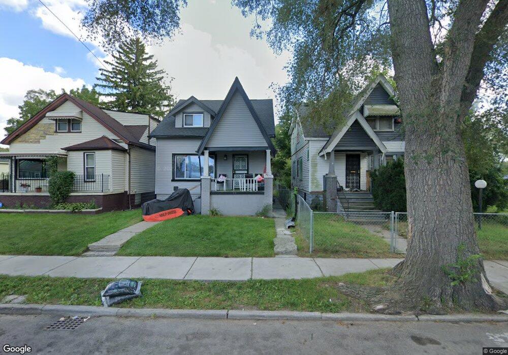
18438 Binder St Detroit, MI 48234
Conant Gardens NeighborhoodEstimated Value: $58,893 - $62,000
4
Beds
1
Bath
1,104
Sq Ft
$54/Sq Ft
Est. Value
About This Home
This home is located at 18438 Binder St, Detroit, MI 48234 and is currently estimated at $59,723, approximately $54 per square foot. 18438 Binder St is a home located in Wayne County with nearby schools including Mason Academy, Edward 'Duke' Ellington Conservatory of Music and Art, and Charles L. Spain Elementary-Middle School.
Ownership History
Date
Name
Owned For
Owner Type
Purchase Details
Closed on
Nov 13, 2014
Sold by
Wayne County Treasurer
Bought by
Coleman Jasper
Current Estimated Value
Purchase Details
Closed on
Mar 18, 2009
Sold by
Trott & Trott Pc
Bought by
Coleman Jasper
Purchase Details
Closed on
Nov 12, 2008
Sold by
Benson James A
Bought by
Federal Home Loan Mortgage Corp
Purchase Details
Closed on
Aug 10, 2005
Sold by
Wolf Michael and Wolf Mary
Bought by
Benson James
Create a Home Valuation Report for This Property
The Home Valuation Report is an in-depth analysis detailing your home's value as well as a comparison with similar homes in the area
Home Values in the Area
Average Home Value in this Area
Purchase History
| Date | Buyer | Sale Price | Title Company |
|---|---|---|---|
| Coleman Jasper | $500 | None Available | |
| Coleman Jasper | $1,800 | Warranty Title Agency Llc | |
| Federal Home Loan Mortgage Corp | $50,834 | None Available | |
| Benson James | -- | Transnation Title | |
| Benson James | $22,000 | First American Title Ins Co |
Source: Public Records
Tax History Compared to Growth
Tax History
| Year | Tax Paid | Tax Assessment Tax Assessment Total Assessment is a certain percentage of the fair market value that is determined by local assessors to be the total taxable value of land and additions on the property. | Land | Improvement |
|---|---|---|---|---|
| 2025 | $435 | $13,100 | $0 | $0 |
| 2024 | $435 | $10,500 | $0 | $0 |
| 2023 | $541 | $7,980 | $0 | $0 |
| 2022 | $1,156 | $6,200 | $0 | $0 |
| 2021 | $567 | $5,100 | $0 | $0 |
| 2020 | $562 | $5,200 | $0 | $0 |
| 2019 | $556 | $4,500 | $0 | $0 |
| 2018 | $522 | $5,100 | $0 | $0 |
| 2017 | $89 | $4,700 | $0 | $0 |
| 2016 | $820 | $14,400 | $0 | $0 |
| 2015 | $970 | $9,700 | $0 | $0 |
| 2013 | $1,212 | $12,117 | $0 | $0 |
| 2010 | -- | $17,765 | $827 | $16,938 |
Source: Public Records
Map
Nearby Homes
- 18544 Wexford St
- 18515 Wexford St
- 18433 Norwood St
- 18423 Norwood St
- 18466 Revere St
- 18088 Shields St
- 18654 Klinger St
- 18660 Klinger St
- 18905 Dean St
- 18660 Charest St
- 19031 Klinger St
- 3302 Seven Mile E
- 18830 Hasse St
- 17892 Mitchell St
- 19142 Gallagher St
- 19250 Yonka St
- 19175 Eureka St
- 19155 Gallagher St
- 18865 Lamont St
- 19300 Binder St
- 18444 Binder St
- 18432 Binder St
- 18428 Binder St
- 18450 Binder St
- 18422 Binder St
- 18456 Binder St
- 18462 Binder St
- 18421 Ryan Rd
- 18410 Binder St
- 18416 Binder St
- 18427 Ryan Rd
- 18435 Binder St
- 18475 Ryan Rd
- 18441 Binder St
- 18445 Binder St
- 18425 Binder St
- 18409 Ryan Rd
- 18451 Binder St
- 18457 Binder St
- 18417 Binder St