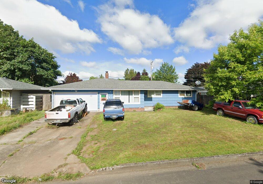
1844 Linwood St Eugene, OR 97404
River Road NeighborhoodEstimated Value: $358,000 - $387,000
3
Beds
1
Bath
1,016
Sq Ft
$368/Sq Ft
Est. Value
About This Home
This home is located at 1844 Linwood St, Eugene, OR 97404 and is currently estimated at $373,976, approximately $368 per square foot. 1844 Linwood St is a home located in Lane County with nearby schools including Howard Elementary School, Kelly Middle School, and North Eugene High School.
Ownership History
Date
Name
Owned For
Owner Type
Purchase Details
Closed on
Jun 4, 2003
Sold by
Va
Bought by
Williams Terry Lee
Current Estimated Value
Purchase Details
Closed on
May 2, 2002
Sold by
Williams Terry Lee
Bought by
Williams Paul
Home Financials for this Owner
Home Financials are based on the most recent Mortgage that was taken out on this home.
Original Mortgage
$88,000
Interest Rate
5.84%
Create a Home Valuation Report for This Property
The Home Valuation Report is an in-depth analysis detailing your home's value as well as a comparison with similar homes in the area
Home Values in the Area
Average Home Value in this Area
Purchase History
| Date | Buyer | Sale Price | Title Company |
|---|---|---|---|
| Williams Terry Lee | $59,144 | Evergreen Land Title Co | |
| Williams Paul | $110,000 | Evergreen Land Title Co |
Source: Public Records
Mortgage History
| Date | Status | Borrower | Loan Amount |
|---|---|---|---|
| Previous Owner | Williams Paul | $88,000 | |
| Closed | Williams Paul | $22,000 |
Source: Public Records
Tax History
| Year | Tax Paid | Tax Assessment Tax Assessment Total Assessment is a certain percentage of the fair market value that is determined by local assessors to be the total taxable value of land and additions on the property. | Land | Improvement |
|---|---|---|---|---|
| 2025 | $3,048 | $181,431 | -- | -- |
| 2024 | $3,015 | $176,147 | -- | -- |
| 2023 | $3,015 | $171,017 | $0 | $0 |
| 2022 | $2,836 | $166,036 | $0 | $0 |
| 2021 | $2,637 | $161,200 | $0 | $0 |
| 2020 | $2,656 | $156,505 | $0 | $0 |
| 2019 | $2,562 | $151,947 | $0 | $0 |
| 2018 | $2,389 | $143,225 | $0 | $0 |
| 2017 | $2,233 | $143,225 | $0 | $0 |
| 2016 | $2,112 | $139,053 | $0 | $0 |
| 2015 | $2,034 | $135,003 | $0 | $0 |
| 2014 | $2,028 | $131,071 | $0 | $0 |
Source: Public Records
Map
Nearby Homes
- 1755 Brentwood Ave
- 1682 Hemlock St
- 1880 Manihi Dr
- 401 Sterling Dr
- 389 Maxwell Rd
- 1410 Lake Dr
- 303 Lenore Loop
- 2439 Quince St
- 1384 David Ave
- 2563 York St
- 1487 Barton St
- 1483 Barton St
- 193 Santa Clara Ave
- 1708 River Rd
- 1665 Evergreen Dr
- 215 Jonquil Ave
- 811 Virgil Ave
- 200 Irving Rd
- 349 Irving Rd
- 788 Cornwall Ave
- 750 Armstrong Ave
- 1833 Maywood Ave
- 1819 Maywood Ave
- 764 Armstrong Ave
- 1820 Linwood St
- 1841 Linwood St
- 1829 Linwood St
- 1855 Linwood St
- 1807 Maywood Ave
- 1817 Linwood St
- 1800 Linwood St
- 755 Armstrong Ave
- 743 Armstrong Ave
- 763 Armstrong Ave
- 1795 Maywood Ave
- 731 Armstrong Ave
- 1842 Grove St
- 1830 Maywood Ave
- 1795 Linwood St
- 771 Armstrong Ave
Your Personal Tour Guide
Ask me questions while you tour the home.