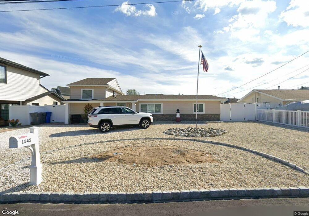
1845 Cable Dr Toms River, NJ 08753
Estimated Value: $607,394 - $803,000
3
Beds
2
Baths
1,320
Sq Ft
$533/Sq Ft
Est. Value
About This Home
This home is located at 1845 Cable Dr, Toms River, NJ 08753 and is currently estimated at $703,849, approximately $533 per square foot. 1845 Cable Dr is a home located in Ocean County.
Ownership History
Date
Name
Owned For
Owner Type
Purchase Details
Closed on
May 22, 2019
Sold by
Trust Under Will Of Franklin P Hauck
Bought by
Charles Robert J
Current Estimated Value
Home Financials for this Owner
Home Financials are based on the most recent Mortgage that was taken out on this home.
Original Mortgage
$184,500
Outstanding Balance
$161,883
Interest Rate
4.1%
Mortgage Type
New Conventional
Estimated Equity
$541,966
Purchase Details
Closed on
Dec 7, 2017
Sold by
Conover Jennifer
Bought by
Conover Jennifer
Create a Home Valuation Report for This Property
The Home Valuation Report is an in-depth analysis detailing your home's value as well as a comparison with similar homes in the area
Home Values in the Area
Average Home Value in this Area
Purchase History
| Date | Buyer | Sale Price | Title Company |
|---|---|---|---|
| Charles Robert J | $205,000 | Counsellors Title Agency Inc | |
| Conover Jennifer | -- | -- |
Source: Public Records
Mortgage History
| Date | Status | Borrower | Loan Amount |
|---|---|---|---|
| Open | Charles Robert J | $184,500 |
Source: Public Records
Tax History
| Year | Tax Paid | Tax Assessment Tax Assessment Total Assessment is a certain percentage of the fair market value that is determined by local assessors to be the total taxable value of land and additions on the property. | Land | Improvement |
|---|---|---|---|---|
| 2025 | $9,551 | $524,500 | $285,000 | $239,500 |
| 2024 | $9,079 | $524,500 | $285,000 | $239,500 |
Source: Public Records
Map
Nearby Homes
- 1828 Cable Dr
- 1916 Waters Edge Dr Unit 16
- 2517 Waters Edge Dr Unit 17
- 1811 Waters Edge Dr
- 1850 Ensign Ct
- 1313 Waters Edge Dr
- 169 S Shore Dr
- 193 Cranberry Rd
- 35 Heather Rd
- 1085 Vaughn Ave
- 45 Sage Rd
- 317 Teaberry Ct
- 169 Shenandoah Blvd
- 2 Cedar Tree Ln
- 707 Bounty Ct
- 1072 Lake Placid Dr
- 6 Cedar Tree Ln
- 193 Bay Stream Dr
- 151 Shenandoah Blvd
- 1029 Lucy Ln
- 1841 Cable Dr
- 1849 Cable Dr
- 1844 Cable Dr
- 1837 Cable Dr
- 1851 Cable Dr
- 1840 Cable Dr
- 1848 Cable Dr
- 1830 Grantwood Dr
- 1834 Grantwood Dr
- 1836 Cable Dr
- 1826 Grantwood Dr
- 1852 Cable Dr
- 1833 Cable Dr
- 1838 Grantwood Dr
- 1857 Cable Dr
- 1822 Grantwood Dr
- 1832 Cable Dr
- 1856 Cable Dr
- 1829 Cable Dr
- 1818 Grantwood Dr
Your Personal Tour Guide
Ask me questions while you tour the home.