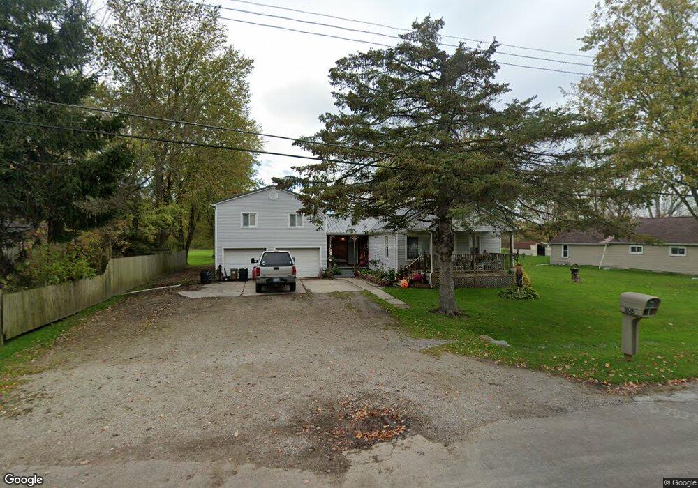
1845 Omar Rd Kimball, MI 48074
Estimated Value: $224,000 - $248,000
4
Beds
1
Bath
2,138
Sq Ft
$109/Sq Ft
Est. Value
About This Home
This home is located at 1845 Omar Rd, Kimball, MI 48074 and is currently estimated at $232,050, approximately $108 per square foot. 1845 Omar Rd is a home located in St. Clair County with nearby schools including Kimball Elementary School, Central Middle School, and Port Huron High School.
Create a Home Valuation Report for This Property
The Home Valuation Report is an in-depth analysis detailing your home's value as well as a comparison with similar homes in the area
Home Values in the Area
Average Home Value in this Area
Tax History
| Year | Tax Paid | Tax Assessment Tax Assessment Total Assessment is a certain percentage of the fair market value that is determined by local assessors to be the total taxable value of land and additions on the property. | Land | Improvement |
|---|---|---|---|---|
| 2025 | $984 | $102,100 | $0 | $0 |
| 2024 | $955 | $95,600 | $0 | $0 |
| 2023 | $875 | $89,700 | $0 | $0 |
| 2022 | $1,608 | $75,300 | $0 | $0 |
| 2020 | $1,490 | $68,000 | $68,000 | $0 |
| 2019 | $1,467 | $56,900 | $0 | $0 |
| 2018 | $1,409 | $52,000 | $0 | $0 |
| 2017 | $1,390 | $56,900 | $0 | $0 |
| 2016 | $783 | $56,900 | $0 | $0 |
| 2015 | -- | $55,900 | $55,900 | $0 |
| 2014 | -- | $56,400 | $56,400 | $0 |
| 2013 | -- | $51,400 | $0 | $0 |
Source: Public Records
Map
Nearby Homes
- 1786 Omar Rd
- V/L Allen
- 1604 Allen Rd
- 00 Howard Rd
- 1405 Range Rd
- 0 Allen Rd Unit 20250008597
- 0 Allen Rd Unit 20250008612
- 0000 Range Rd
- 00 Range Rd
- 1948 Meadowlark Ln
- 1906 Morningstar Ave
- 0 Wall Rd Unit 50185999
- 0 Lapeer Rd Unit 50137357
- 1091 Allen Rd
- 0 Wadhams Rd Unit 50155021
- 2007 Edward Ln E
- 0 Ravenswood Rd Unit 20251017048
- 0000 Ravenswood Rd
- 5117 Ravenswood Rd
- 4380 Lapeer Rd
Your Personal Tour Guide
Ask me questions while you tour the home.