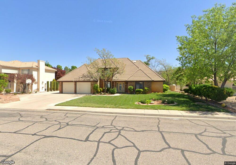
1845 Point Dr Saint George, UT 84790
Estimated Value: $583,000 - $652,000
4
Beds
4
Baths
2,884
Sq Ft
$212/Sq Ft
Est. Value
About This Home
This home is located at 1845 Point Dr, Saint George, UT 84790 and is currently estimated at $612,287, approximately $212 per square foot. 1845 Point Dr is a home located in Washington County with nearby schools including Bloomington Hills Elementary School, Sunrise Ridge Intermediate School, and Desert Hills Middle School.
Ownership History
Date
Name
Owned For
Owner Type
Purchase Details
Closed on
Aug 5, 2024
Sold by
Lavender Lane Trust and Scott Jamie Lynn
Bought by
Snelson Terry L
Current Estimated Value
Home Financials for this Owner
Home Financials are based on the most recent Mortgage that was taken out on this home.
Original Mortgage
$572,282
Outstanding Balance
$565,806
Interest Rate
6.87%
Mortgage Type
VA
Estimated Equity
$46,481
Purchase Details
Closed on
May 1, 2023
Sold by
Scott Jamie L
Bought by
Lavender Lane Trust
Home Financials for this Owner
Home Financials are based on the most recent Mortgage that was taken out on this home.
Original Mortgage
$460,000
Interest Rate
6.6%
Mortgage Type
New Conventional
Create a Home Valuation Report for This Property
The Home Valuation Report is an in-depth analysis detailing your home's value as well as a comparison with similar homes in the area
Purchase History
| Date | Buyer | Sale Price | Title Company |
|---|---|---|---|
| Snelson Terry L | -- | Infinity Title | |
| Lavender Lane Trust | -- | Rampart Title | |
| Scott Jamie L | -- | Rampart Title |
Source: Public Records
Mortgage History
| Date | Status | Borrower | Loan Amount |
|---|---|---|---|
| Open | Snelson Terry L | $572,282 | |
| Previous Owner | Scott Jamie L | $460,000 |
Source: Public Records
Tax History
| Year | Tax Paid | Tax Assessment Tax Assessment Total Assessment is a certain percentage of the fair market value that is determined by local assessors to be the total taxable value of land and additions on the property. | Land | Improvement |
|---|---|---|---|---|
| 2025 | $1,940 | $304,425 | $82,500 | $221,925 |
| 2023 | $2,102 | $313,995 | $71,500 | $242,495 |
| 2022 | $2,210 | $310,585 | $60,500 | $250,085 |
| 2021 | $1,872 | $392,200 | $100,000 | $292,200 |
| 2020 | $1,674 | $330,300 | $95,000 | $235,300 |
| 2019 | $1,493 | $287,900 | $95,000 | $192,900 |
| 2016 | $1,680 | $150,205 | $0 | $0 |
Source: Public Records
Map
Nearby Homes
- 1790 S River Rd
- 1919 S Point Dr
- 1787 S Point Dr
- 1766 S 1570 E
- 1171 Hubbard Place
- 1597 E Dihedral Dr
- 2045 S 1400 E Unit 12
- 2045 S 1400 E Unit 13
- 1040 E Fort Pierce Dr N
- 1606 Flat Rock Rd
- 1560 E Dihedral Dr
- 2050 S 1400 E Unit K103
- 2050 S 1400 E Unit A100
- 2050 S 1400 E Unit K101
- 2050 S 1400 E Unit 3
- 2050 S 1400 E Unit 23
- 2050 S 1400 E Unit K112
- 2050 S 1400 E Unit C100
- 1648 Dihedral Dr
- 968 Lizzie Ln
Your Personal Tour Guide
Ask me questions while you tour the home.