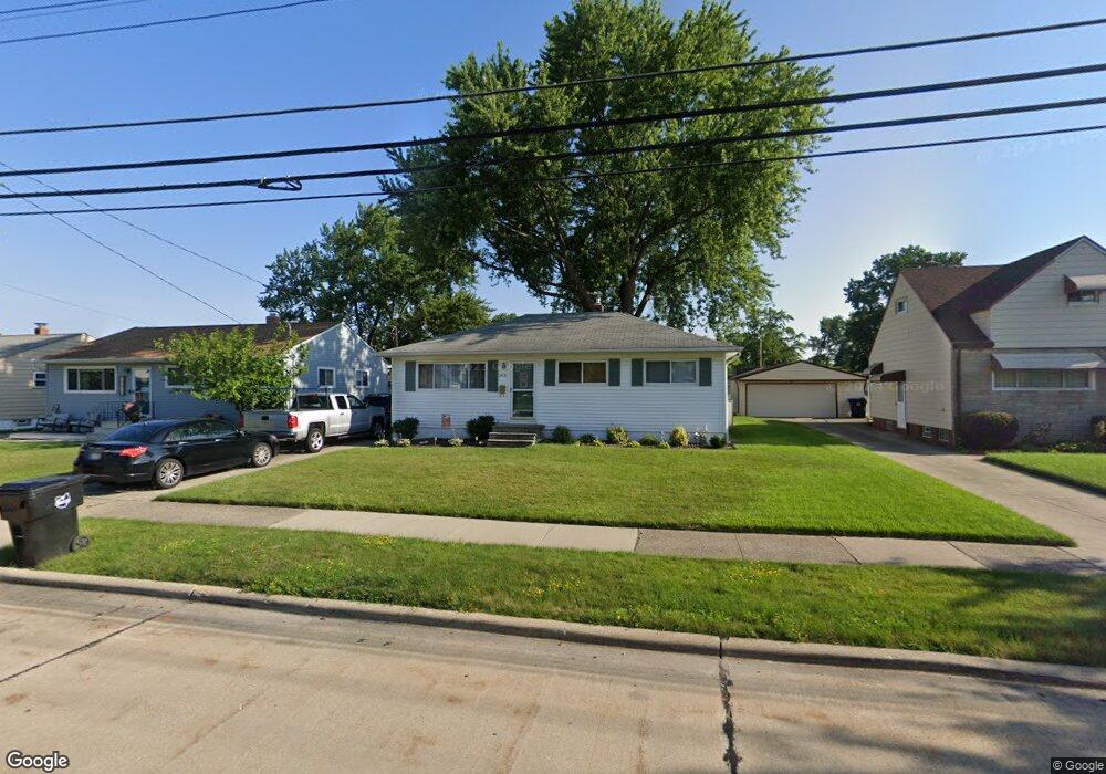
18450 Merece Dr Brookpark, OH 44142
Estimated Value: $169,460 - $230,000
3
Beds
1
Bath
988
Sq Ft
$211/Sq Ft
Est. Value
About This Home
This home is located at 18450 Merece Dr, Brookpark, OH 44142 and is currently estimated at $208,865, approximately $211 per square foot. 18450 Merece Dr is a home located in Cuyahoga County with nearby schools including Berea-Midpark Middle School, Berea-Midpark High School, and The Academy of St. Bartholomew.
Ownership History
Date
Name
Owned For
Owner Type
Purchase Details
Closed on
Sep 1, 1983
Sold by
Sabo Karen Marie
Bought by
Townson Mark S
Current Estimated Value
Purchase Details
Closed on
Jun 3, 1982
Sold by
Wise David R
Bought by
Sabo Karen Marie
Purchase Details
Closed on
Dec 7, 1981
Sold by
Wise Beverly
Bought by
Wise David R
Purchase Details
Closed on
Feb 23, 1981
Sold by
Wise David R and Mary Ann K
Bought by
Wise David R
Purchase Details
Closed on
Jan 1, 1975
Bought by
Wise David R and Mary Ann K
Create a Home Valuation Report for This Property
The Home Valuation Report is an in-depth analysis detailing your home's value as well as a comparison with similar homes in the area
Home Values in the Area
Average Home Value in this Area
Purchase History
| Date | Buyer | Sale Price | Title Company |
|---|---|---|---|
| Townson Mark S | $51,000 | -- | |
| Sabo Karen Marie | $42,000 | -- | |
| Wise David R | -- | -- | |
| Wise Beverly | -- | -- | |
| David R Wise | -- | -- | |
| Wise David R | -- | -- | |
| Wise David R | -- | -- |
Source: Public Records
Tax History
| Year | Tax Paid | Tax Assessment Tax Assessment Total Assessment is a certain percentage of the fair market value that is determined by local assessors to be the total taxable value of land and additions on the property. | Land | Improvement |
|---|---|---|---|---|
| 2024 | $2,599 | $51,520 | $11,655 | $39,865 |
| 2023 | $2,682 | $44,040 | $10,050 | $33,990 |
| 2022 | $2,664 | $44,030 | $10,050 | $33,990 |
| 2021 | $2,648 | $44,030 | $10,050 | $33,990 |
| 2020 | $2,389 | $34,970 | $7,980 | $26,990 |
| 2019 | $2,318 | $99,900 | $22,800 | $77,100 |
| 2018 | $2,308 | $34,970 | $7,980 | $26,990 |
| 2017 | $2,251 | $31,510 | $6,900 | $24,610 |
| 2016 | $2,233 | $31,510 | $6,900 | $24,610 |
| 2015 | $2,205 | $31,510 | $6,900 | $24,610 |
| 2014 | $2,205 | $33,150 | $7,250 | $25,900 |
Source: Public Records
Map
Nearby Homes
- 6490 Grosse Dr
- 6213 Siegler Dr
- 6210 Siegler Dr
- 6572 Liberty Bell Dr Unit 23C
- 6728 Benedict Dr
- 6040 Slater Dr
- 6748 Benedict Dr
- 6752 Benedict Dr
- 6744 Benedict Dr
- 6720 Benedict Dr
- 6724 Benedict Dr
- 6744 Fry Rd Unit 4
- 16761 Orchard Grove Dr Unit 6808A
- 16001 Sylvia Dr
- 6377 Ledgebrook Dr
- 16117 Hocking Blvd
- 6689 Fry Rd
- 6710 Woodruff Ct
- 20415 Brookstone Trail
- 16445 Heather Ln Unit 101
- 18430 Merece Dr
- 18470 Merece Dr
- 18410 Merece Dr
- 18490 Merece Dr
- 18449 Kalvin Dr
- 18429 Kalvin Dr
- 18469 Kalvin Dr
- 6401 Hio Dr
- 18374 Merece Dr
- 18510 Merece Dr
- 18409 Kalvin Dr
- 18489 Kalvin Dr
- 6402 Hio Dr
- 18373 Kalvin Dr
- 18509 Kalvin Dr
- 18344 Merece Dr
- 18530 Merece Dr
- 6408 Hio Dr
- 18343 Kalvin Dr
- 18529 Kalvin Dr
Your Personal Tour Guide
Ask me questions while you tour the home.