18452 High Prairie Rd Leavenworth, KS 66048
Estimated Value: $330,000 - $421,080
3
Beds
1
Bath
1,668
Sq Ft
$230/Sq Ft
Est. Value
About This Home
This home is located at 18452 High Prairie Rd, Leavenworth, KS 66048 and is currently estimated at $383,027, approximately $229 per square foot. 18452 High Prairie Rd is a home located in Leavenworth County with nearby schools including Lansing Elementary School, Lansing Middle 6-8, and Lansing High 9-12.
Ownership History
Date
Name
Owned For
Owner Type
Purchase Details
Closed on
Sep 1, 1992
Bought by
Bergman William J and Bergman Linda C
Current Estimated Value
Home Financials for this Owner
Home Financials are based on the most recent Mortgage that was taken out on this home.
Original Mortgage
$30,000
Interest Rate
8.01%
Mortgage Type
New Conventional
Create a Home Valuation Report for This Property
The Home Valuation Report is an in-depth analysis detailing your home's value as well as a comparison with similar homes in the area
Home Values in the Area
Average Home Value in this Area
Purchase History
| Date | Buyer | Sale Price | Title Company |
|---|---|---|---|
| Bergman William J | $55,000 | -- |
Source: Public Records
Mortgage History
| Date | Status | Borrower | Loan Amount |
|---|---|---|---|
| Closed | Bergman William J | $30,000 |
Source: Public Records
Tax History Compared to Growth
Tax History
| Year | Tax Paid | Tax Assessment Tax Assessment Total Assessment is a certain percentage of the fair market value that is determined by local assessors to be the total taxable value of land and additions on the property. | Land | Improvement |
|---|---|---|---|---|
| 2025 | $3,416 | $31,370 | $5,813 | $25,557 |
| 2024 | $3,234 | $30,602 | $5,559 | $25,043 |
| 2023 | $3,234 | $30,758 | $5,741 | $25,017 |
| 2022 | $2,906 | $26,164 | $4,854 | $21,310 |
| 2021 | $2,418 | $21,424 | $3,647 | $17,777 |
| 2020 | $2,355 | $20,532 | $3,472 | $17,060 |
| 2019 | $2,273 | $19,791 | $2,864 | $16,927 |
| 2018 | $1,827 | $15,991 | $2,813 | $13,178 |
| 2017 | $1,703 | $14,881 | $2,795 | $12,086 |
| 2016 | $1,653 | $14,482 | $2,731 | $11,751 |
| 2015 | $1,578 | $13,889 | $2,710 | $11,179 |
| 2014 | $1,478 | $13,264 | $2,683 | $10,581 |
Source: Public Records
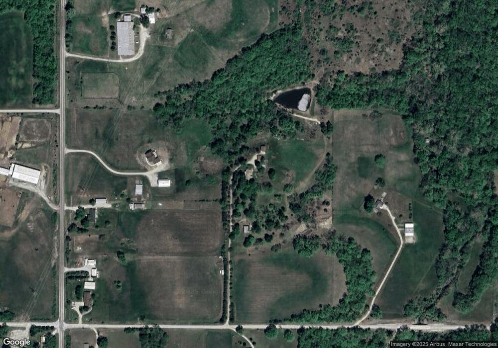
Map
Nearby Homes
- 28527 187th St
- 17739 Eisenhower Rd
- 17470 Springdale Rd
- 00000 Michals Rd
- 26277 187th St
- Lot 5 Bauserman Rd
- 17096 Eisenhower Rd
- Lot 5 195th St
- Lot 4 195th St
- 1964 Eisenhower Rd
- 503 Limit St
- 4236 Clayton Ct
- 2151 Shenandoah Dr
- 2150 Shenandoah Dr
- 3703 Clayton Dr
- 0000 Eisenhower Rd
- 2248 Vilas St
- Lot 3 179th St
- Lot 2 179th St
- Lot 1 179th St
- 27702 187th St
- 18318 High Prairie Rd
- 18381 High Prairie Rd
- 27838 187th St
- 18547 High Prairie Rd
- 18698 High Prairie Rd
- 27990 187th St
- 18665 High Prairie Rd
- 18725 High Prairie Rd
- 27703 187th St
- 27907 187th St
- 27945 187th St
- 28110 187th St
- 27376 187th St
- 18119 High Prairie Rd
- 28041 187th St
- 27362 187th St
- 28152 187th St
- 27319 187th St
- 28160 183rd St