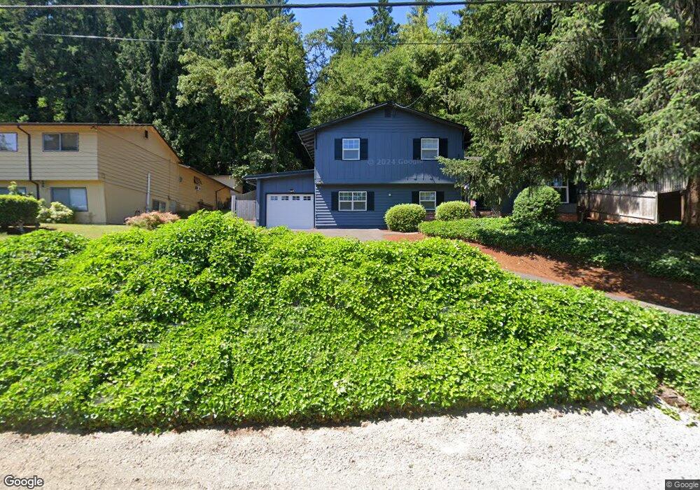
18454 Upper Midhill Dr West Linn, OR 97068
Robinwood NeighborhoodEstimated Value: $629,308 - $750,000
4
Beds
2
Baths
2,122
Sq Ft
$319/Sq Ft
Est. Value
About This Home
This home is located at 18454 Upper Midhill Dr, West Linn, OR 97068 and is currently estimated at $677,327, approximately $319 per square foot. 18454 Upper Midhill Dr is a home located in Clackamas County with nearby schools including Cedaroak Park Primary School, West Linn High School, and Harmony Academy.
Ownership History
Date
Name
Owned For
Owner Type
Purchase Details
Closed on
Nov 30, 2022
Sold by
Mcclellan Stephen J
Bought by
Mcclellan Family Trust
Current Estimated Value
Purchase Details
Closed on
Nov 1, 1990
Bought by
Mcclellan Stephen J and Mcclellan Rita H
Create a Home Valuation Report for This Property
The Home Valuation Report is an in-depth analysis detailing your home's value as well as a comparison with similar homes in the area
Home Values in the Area
Average Home Value in this Area
Purchase History
| Date | Buyer | Sale Price | Title Company |
|---|---|---|---|
| Mcclellan Family Trust | -- | -- | |
| Mcclellan Stephen J | $97,000 | -- |
Source: Public Records
Tax History Compared to Growth
Tax History
| Year | Tax Paid | Tax Assessment Tax Assessment Total Assessment is a certain percentage of the fair market value that is determined by local assessors to be the total taxable value of land and additions on the property. | Land | Improvement |
|---|---|---|---|---|
| 2025 | $4,987 | $258,768 | -- | -- |
| 2024 | $4,800 | $251,232 | -- | -- |
| 2023 | $4,800 | $243,915 | $0 | $0 |
| 2022 | $4,531 | $236,811 | $0 | $0 |
| 2021 | $4,301 | $229,914 | $0 | $0 |
| 2020 | $4,330 | $223,218 | $0 | $0 |
| 2019 | $4,129 | $216,717 | $0 | $0 |
| 2018 | $3,945 | $210,405 | $0 | $0 |
| 2017 | $3,792 | $204,277 | $0 | $0 |
| 2016 | $3,694 | $198,327 | $0 | $0 |
| 2015 | $3,531 | $192,550 | $0 | $0 |
| 2014 | $3,328 | $186,942 | $0 | $0 |
Source: Public Records
Map
Nearby Homes
- 2167 Marylwood Ct
- 2041 Marylhurst Dr
- 2455 College Hill Place
- 17833 Marylcreek Dr
- 1354 Skye Pkwy
- 1397 Skye Pkwy
- 1384 Celtic Ct
- 2636 Maria Ct
- 18194 Shady Hollow Way
- 1777 Skyland Dr
- 17634 Brookhurst Dr
- 3340 Arbor Dr
- 1611 Arran Ct
- 17623 Brookhurst Dr
- 18711 Willamette Dr
- 17514 Brookhurst Dr
- 19661 Sun Cir
- 1321 Troon Dr
- 18649 Old River Dr
- 19640 Kapteyns St
- 18500 Upper Midhill Dr
- 18442 Upper Midhill Dr
- 18378 Upper Midhill Dr
- 18522 Upper Midhill Dr
- 18490 Hillside Ct
- 18580 Upper Midhill Dr
- 18358 Upper Midhill Dr
- 18584 Upper Midhill Dr
- 18446 Hillside Ct
- 18353 Upper Midhill Dr
- 18400 Hillside Ct
- 18318 Upper Midhill Dr
- 18366 Hillside Ct
- 18590 Upper Midhill Dr
- 18179 Hillside Ct
- 2216 Arbor Dr
- 18308 Upper Midhill Dr
- 18284 Hillside Ct
- 2270 Arbor Dr
- 18602 Upper Midhill Dr