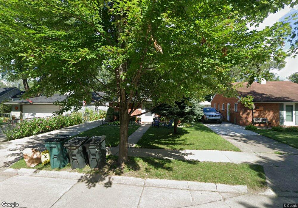
1846 Kipling Ave Berkley, MI 48072
Estimated Value: $278,000 - $328,000
3
Beds
1
Bath
1,218
Sq Ft
$245/Sq Ft
Est. Value
About This Home
This home is located at 1846 Kipling Ave, Berkley, MI 48072 and is currently estimated at $297,915, approximately $244 per square foot. 1846 Kipling Ave is a home located in Oakland County with nearby schools including Angell Elementary School, Anderson Middle School, and Berkley High School.
Ownership History
Date
Name
Owned For
Owner Type
Purchase Details
Closed on
Mar 28, 2006
Sold by
Mccracken Carole and Mccracken James Michael
Bought by
Wycoff Masahiro M and Wycoff Cecilia A
Current Estimated Value
Home Financials for this Owner
Home Financials are based on the most recent Mortgage that was taken out on this home.
Original Mortgage
$138,000
Outstanding Balance
$77,842
Interest Rate
6.33%
Mortgage Type
Purchase Money Mortgage
Estimated Equity
$220,073
Purchase Details
Closed on
Jun 30, 2000
Sold by
Mccracken Carole L
Bought by
Mccracken Carole L
Create a Home Valuation Report for This Property
The Home Valuation Report is an in-depth analysis detailing your home's value as well as a comparison with similar homes in the area
Home Values in the Area
Average Home Value in this Area
Purchase History
| Date | Buyer | Sale Price | Title Company |
|---|---|---|---|
| Wycoff Masahiro M | $138,000 | Capital Title Ins Agency | |
| Mccracken Carole L | -- | -- |
Source: Public Records
Mortgage History
| Date | Status | Borrower | Loan Amount |
|---|---|---|---|
| Open | Wycoff Masahiro M | $138,000 |
Source: Public Records
Tax History
| Year | Tax Paid | Tax Assessment Tax Assessment Total Assessment is a certain percentage of the fair market value that is determined by local assessors to be the total taxable value of land and additions on the property. | Land | Improvement |
|---|---|---|---|---|
| 2025 | $3,213 | $135,590 | $0 | $0 |
| 2024 | $3,047 | $128,180 | $0 | $0 |
| 2023 | $2,746 | $118,190 | $0 | $0 |
| 2022 | $2,745 | $108,700 | $0 | $0 |
| 2021 | $2,684 | $104,240 | $0 | $0 |
| 2020 | $2,567 | $100,830 | $0 | $0 |
| 2019 | $2,695 | $94,620 | $0 | $0 |
| 2018 | $2,577 | $88,680 | $0 | $0 |
| 2017 | $2,545 | $86,010 | $0 | $0 |
| 2016 | $2,503 | $80,320 | $0 | $0 |
| 2015 | -- | $73,970 | $0 | $0 |
| 2014 | -- | $66,810 | $0 | $0 |
| 2011 | -- | $61,470 | $0 | $0 |
Source: Public Records
Map
Nearby Homes
- 1975 Kipling Ave
- 2863 Columbia Rd
- 2893 Harvard Rd
- 1888 Griffith Ave
- 2438 Columbia Rd
- 2679 Oxford Rd
- 2427 Harvard Rd
- 2266 Robina Ave
- 2381 Princeton Rd
- 13680 Borgman St
- 2435 Sunnyknoll Ave
- 14421 Labelle St
- 2156 Cambridge Rd
- 14611 Kingston St
- 3050 Catalpa Dr
- 1977 Princeton Rd
- 1957 Columbia Rd
- 14060 Elgin St
- 13146 Hart Ave
- 1922 Princeton Rd
- 1826 Kipling Ave
- 2773 Columbia Rd
- 2761 Columbia Rd
- 1810 Kipling Ave
- 2741 Columbia Rd
- 2725 Columbia Rd
- 1843 Kipling Ave Unit Bldg-Unit
- 1843 Kipling Ave
- 1863 Kipling Ave
- 2715 Columbia Rd
- 1809 Kipling Ave
- 1877 Kipling Ave
- 1829 Kipling Ave
- 1920 Kipling Ave
- 1899 Kipling Ave Unit Bldg-Unit
- 1899 Kipling Ave
- 1940 Kipling Ave
- 2726 Columbia Rd
- 2740 Columbia Rd
- 2873 Columbia Rd
Your Personal Tour Guide
Ask me questions while you tour the home.