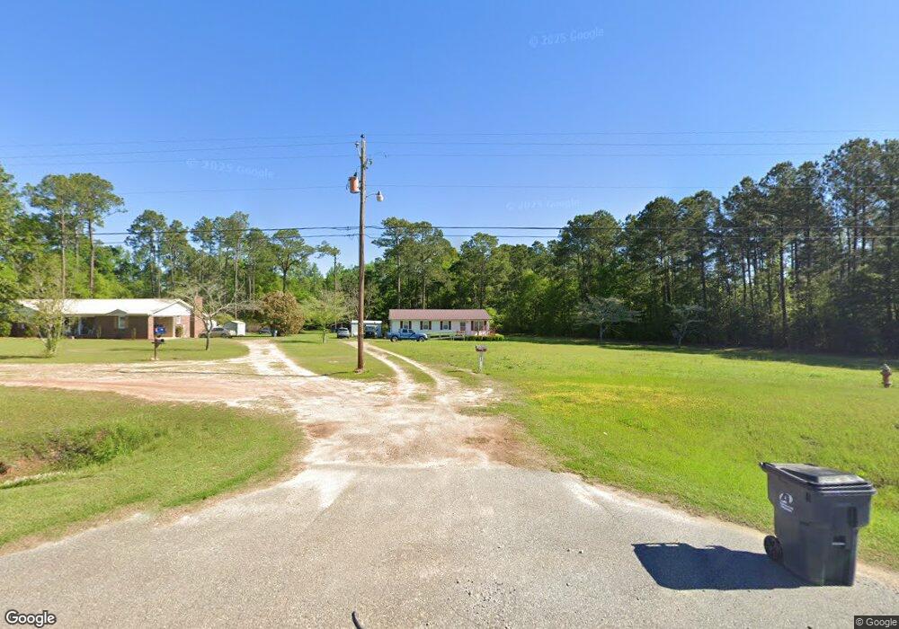
1846 Us Highway 19 SE Pelham, GA 31779
Estimated Value: $125,009 - $166,000
--
Bed
1
Bath
1,176
Sq Ft
$129/Sq Ft
Est. Value
About This Home
This home is located at 1846 Us Highway 19 SE, Pelham, GA 31779 and is currently estimated at $152,252, approximately $129 per square foot. 1846 Us Highway 19 SE is a home located in Mitchell County with nearby schools including Mitchell County Primary School, Mitchell County Elementary School, and Mitchell County Middle School.
Ownership History
Date
Name
Owned For
Owner Type
Purchase Details
Closed on
Oct 23, 2024
Sold by
Daughtry James Roger
Bought by
Daughtry Dot Loraine
Current Estimated Value
Create a Home Valuation Report for This Property
The Home Valuation Report is an in-depth analysis detailing your home's value as well as a comparison with similar homes in the area
Home Values in the Area
Average Home Value in this Area
Purchase History
| Date | Buyer | Sale Price | Title Company |
|---|---|---|---|
| Daughtry Dot Loraine | -- | -- |
Source: Public Records
Tax History Compared to Growth
Tax History
| Year | Tax Paid | Tax Assessment Tax Assessment Total Assessment is a certain percentage of the fair market value that is determined by local assessors to be the total taxable value of land and additions on the property. | Land | Improvement |
|---|---|---|---|---|
| 2024 | $1,450 | $36,840 | $6,760 | $30,080 |
| 2023 | $2,021 | $35,200 | $6,760 | $28,440 |
| 2022 | $1,258 | $28,360 | $6,760 | $21,600 |
| 2021 | $962 | $25,320 | $6,400 | $18,920 |
| 2020 | $914 | $25,320 | $6,400 | $18,920 |
| 2019 | $927 | $25,320 | $6,400 | $18,920 |
| 2018 | $1,145 | $25,320 | $6,400 | $18,920 |
| 2017 | $416 | $25,142 | $6,400 | $18,742 |
| 2016 | $473 | $25,142 | $6,400 | $18,742 |
| 2015 | $473 | $25,142 | $6,400 | $18,742 |
| 2014 | $473 | $25,142 | $6,400 | $18,742 |
| 2013 | $473 | $25,141 | $6,400 | $18,741 |
Source: Public Records
Map
Nearby Homes
- 00 Laverne Ln
- 375 Baggs Ave SE
- 3** Youngs Mill Rd
- 547 Cotton Rd NE
- 438 Dogwood Dr NE
- 183 Baggs Ave SE
- 482 Curry St NE
- 135 Baggs Ave SE
- 335 Curry St NE
- 323 Curry St NE
- 199 Carroll St NE
- 209 McDonald St SW
- 212 Hand Ave W
- 210 Castleberry St NW
- 443 Stewart St SW
- 277 Saunders St SW
- 389 Stewart St SW
- 410 Hollis St SW
- 1197 U S 19
- 425 Hollis St SW
- 1858 Us Highway 19 SE
- 1884 Us Highway 19 SE
- 1794 Us Highway 19 SE
- 1908 Us Highway 19 SE
- 1920 Us Highway 19 SE
- 1934 Us Highway 19 SE
- 1746 U S 19
- 1746 Us Highway 19 SE
- 799 Harmony Rd SE
- 815 Harmony Rd SE
- 789 Harmony Rd SE
- 829 Harmony Rd SE
- 779 Harmony Rd SE
- 771 Harmony Rd SE
- 3253 Harmony Rd SE
- 665 Harmony Rd SE
- 585 Harmony Rd SE
- 565 Harmony Rd SE
- 3215 Harmony Rd SE
- 3197 Harmony Rd SE