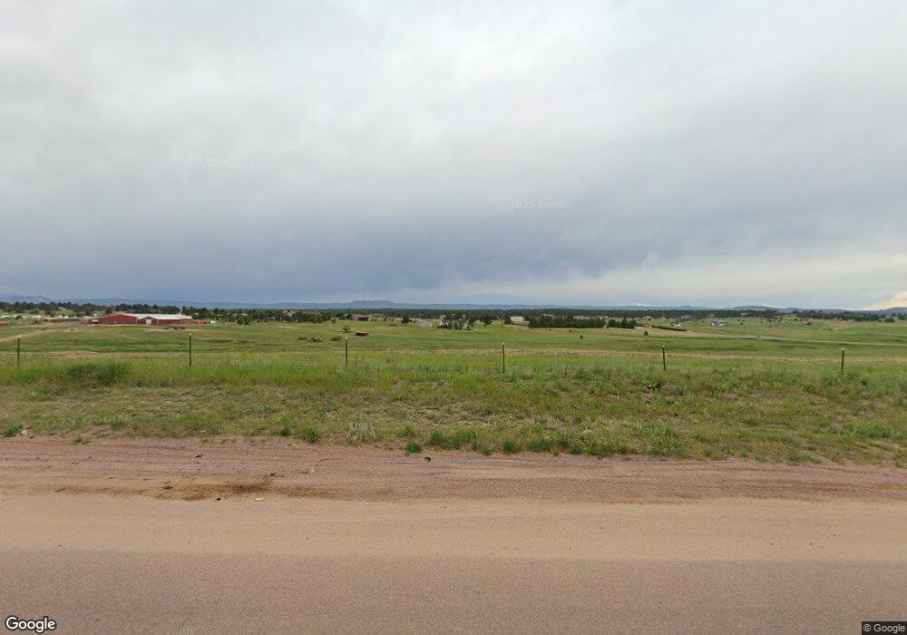
18460 State Highway 83 Colorado Springs, CO 80908
Kings Deer NeighborhoodEstimated Value: $1,229,000 - $1,343,000
5
Beds
4
Baths
1,703
Sq Ft
$754/Sq Ft
Est. Value
About This Home
This home is located at 18460 State Highway 83, Colorado Springs, CO 80908 and is currently estimated at $1,283,908, approximately $753 per square foot. 18460 State Highway 83 is a home located in El Paso County with nearby schools including Ray E Kilmer Elementary School, Lewis-Palmer Middle School, and Lewis-Palmer High School.
Ownership History
Date
Name
Owned For
Owner Type
Purchase Details
Closed on
Dec 30, 2020
Sold by
Paulson Karen M and Paulson Ajrn R
Bought by
Dunston Matthew W
Current Estimated Value
Purchase Details
Closed on
Jul 10, 2012
Sold by
Maisel Karen
Bought by
Paulson Karen M and Paulson Ajrn R
Purchase Details
Closed on
Jan 26, 2007
Sold by
Rael Steve R and Rael Elizabeth
Bought by
Maisel Karen
Purchase Details
Closed on
Jan 16, 2007
Sold by
Maisel Karen
Bought by
Maisel Karen
Create a Home Valuation Report for This Property
The Home Valuation Report is an in-depth analysis detailing your home's value as well as a comparison with similar homes in the area
Home Values in the Area
Average Home Value in this Area
Purchase History
| Date | Buyer | Sale Price | Title Company |
|---|---|---|---|
| Dunston Matthew W | $1,055,000 | Fidelity National Title | |
| Paulson Karen M | -- | None Available | |
| Maisel Karen | -- | None Available | |
| Maisel Karen | -- | None Available |
Source: Public Records
Tax History Compared to Growth
Tax History
| Year | Tax Paid | Tax Assessment Tax Assessment Total Assessment is a certain percentage of the fair market value that is determined by local assessors to be the total taxable value of land and additions on the property. | Land | Improvement |
|---|---|---|---|---|
| 2025 | $3,971 | $89,380 | -- | -- |
| 2024 | $3,860 | $64,060 | $28,230 | $35,830 |
| 2023 | $3,860 | $64,060 | $28,230 | $35,830 |
| 2022 | $2,938 | $43,430 | $11,420 | $32,010 |
| 2021 | $3,733 | $54,870 | $21,950 | $32,920 |
| 2020 | $3,648 | $51,420 | $19,060 | $32,360 |
| 2019 | $3,630 | $51,420 | $19,060 | $32,360 |
| 2018 | $3,627 | $48,660 | $16,880 | $31,780 |
| 2017 | $3,627 | $48,660 | $16,880 | $31,780 |
| 2016 | $3,774 | $54,080 | $18,020 | $36,060 |
| 2015 | $3,771 | $54,080 | $18,020 | $36,060 |
| 2014 | $3,869 | $53,020 | $18,020 | $35,000 |
Source: Public Records
Map
Nearby Homes
- 2585 Mohawk Way
- 4166 Mesa Top Dr
- 18561 Cherry Springs Ranch Dr
- 17940 Appaloosa Rd
- 17815 Saddlewood Rd
- 18040 Saddlewood Rd
- 4136 Pinehurst Cir
- 18165 Woodhaven Dr
- 4082 Pinehurst Cir
- 18045 Woodhaven Place
- 17990 Canterbury Dr
- 17850 Canterbury Dr
- 17529 Old Cherokee Trail
- 18210 Pine Vista Place
- 19089 Malmsbury Ct
- 1360 Trumpeters Ct E
- 18190 Bakers Farm Rd
- 17695 Roller Coaster Rd
- 19144 Baskerville Way
- 17895 Queensmere Dr
- 2775 E Highway 105
- 2645 Mohawk Way
- 2615 Mohawk Way
- 2675 Mohawk Way
- 2685 E Highway 105
- 2630 Mohawk Way
- 18455 Appaloosa Rd
- 2685 Mohawk Way
- 0 Hyw 83 Hwy Unit 3696018
- 2535 Mohawk Way
- 2690 Mohawk Way
- 18220 State Highway 83
- 18015 Appaloosa Rd
- 18065 Appaloosa Rd
- 18185 Appaloosa Rd
- 18410 Appaloosa Rd
- 18340 Appaloosa Rd
- 18470 Appaloosa Rd
- 18270 Appaloosa Rd
- 18520 Shannon Rd
