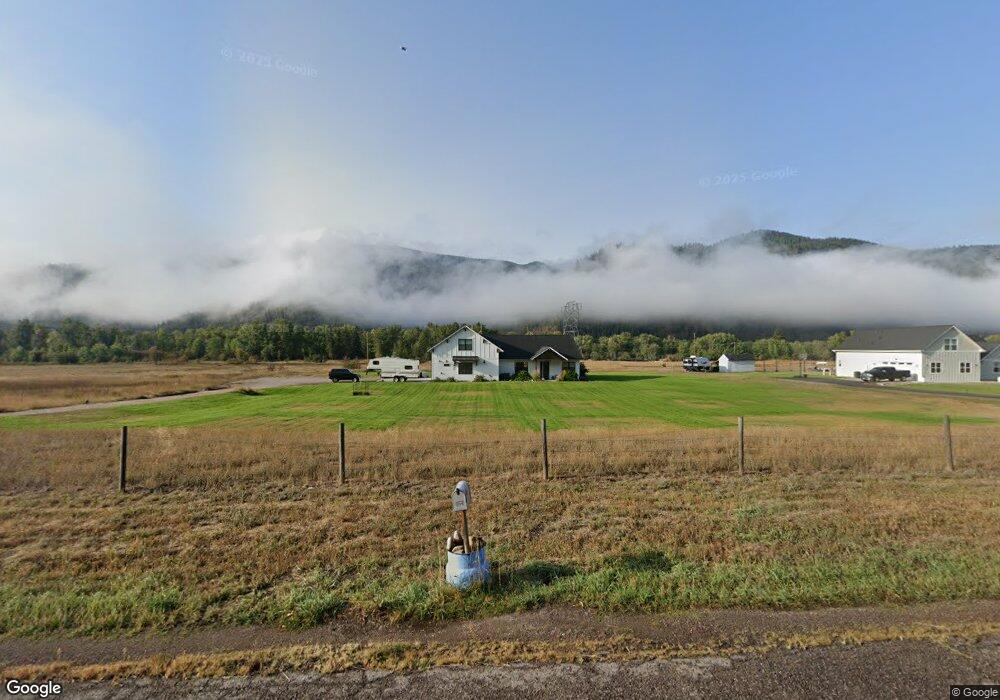
18461 E Mullan Rd Clinton, MT 59825
Clinton NeighborhoodEstimated Value: $690,000 - $970,000
3
Beds
2
Baths
2,583
Sq Ft
$309/Sq Ft
Est. Value
About This Home
This home is located at 18461 E Mullan Rd, Clinton, MT 59825 and is currently estimated at $797,063, approximately $308 per square foot. 18461 E Mullan Rd is a home with nearby schools including Clinton Elementary School and Sentinel High School.
Ownership History
Date
Name
Owned For
Owner Type
Purchase Details
Closed on
May 4, 2020
Sold by
Denny Matthew
Bought by
Denny Roslyn
Current Estimated Value
Home Financials for this Owner
Home Financials are based on the most recent Mortgage that was taken out on this home.
Original Mortgage
$250,000
Interest Rate
3.5%
Mortgage Type
New Conventional
Purchase Details
Closed on
Jul 6, 2019
Sold by
Holden Kathleen
Bought by
Kirschenheiter Jerid M and Kirschenheiter Rose B
Home Financials for this Owner
Home Financials are based on the most recent Mortgage that was taken out on this home.
Original Mortgage
$40,966
Interest Rate
3.9%
Mortgage Type
Commercial
Create a Home Valuation Report for This Property
The Home Valuation Report is an in-depth analysis detailing your home's value as well as a comparison with similar homes in the area
Home Values in the Area
Average Home Value in this Area
Purchase History
| Date | Buyer | Sale Price | Title Company |
|---|---|---|---|
| Denny Roslyn | -- | None Available | |
| Kirschenheiter Jerid M | -- | None Available |
Source: Public Records
Mortgage History
| Date | Status | Borrower | Loan Amount |
|---|---|---|---|
| Previous Owner | Denny Roslyn | $250,000 | |
| Previous Owner | Kirschenheiter Jerid M | $40,966 |
Source: Public Records
Tax History
| Year | Tax Paid | Tax Assessment Tax Assessment Total Assessment is a certain percentage of the fair market value that is determined by local assessors to be the total taxable value of land and additions on the property. | Land | Improvement |
|---|---|---|---|---|
| 2025 | $5,208 | $780,700 | $154,420 | $626,280 |
| 2024 | $5,970 | $616,400 | $99,520 | $516,880 |
| 2023 | $5,047 | $616,400 | $99,520 | $516,880 |
| 2022 | $4,336 | $439,200 | $0 | $0 |
| 2021 | $4,293 | $439,200 | $0 | $0 |
| 2020 | $3,565 | $357,705 | $0 | $0 |
| 2019 | $827 | $83,415 | $0 | $0 |
| 2018 | $737 | $78,010 | $0 | $0 |
Source: Public Records
Map
Nearby Homes
- Nhn Us Highway 10 E
- NHN Stitt St
- 11055 Silver St
- 22225 Wallace Creek Rd
- Lot 13 Pamin Loop
- 12407 Hawk Ln
- 13505 Turah Rd
- 25575 Patter Spur Rd S
- 11594 Cattail Way
- 11596 Ninebark Way
- 11549 Ninebark Way
- Lot 15 Muddler Ct
- Lot 16 Stonefly Rd
- Lot 17 Caddisfly Ct
- Lot 12 Stonefly Rd
- Lot 11 Stonefly Rd
- Lot 9 Stonefly Rd
- 24570 Stonefly Rd
- Lot 2 Caddisfly Ct
- 14297 Caddisfly Ct
- 18540 E Mullan Rd
- 18520 E Mullan Rd
- 18550 E Mullan Rd
- Nhn #3 E Mullan Rd
- Nhn #2 E Mullan Rd
- Nhn -#1 E Mullan Rd
- 18549 E Mullan Rd
- 18410 E Mullan Rd
- Nhn -4 E Mullan Rd
- 18580 E Mullan Rd
- 18321 E Mullan Rd
- 18600 E Mullan Rd
- 18320 E Mullan Rd
- Nhn -#5 E Mullan Rd
- 18660 E Mullan Rd
- 18605 E Mullan Rd
- 18285 E Mullan Rd
- 18290 E Mullan Rd
- 18740 E Mullan Rd
- 8708 Bogar Ln
Your Personal Tour Guide
Ask me questions while you tour the home.