1847 Gibson Ave Myrtle Beach, SC 29575
Estimated Value: $277,000 - $401,000
3
Beds
2
Baths
1,834
Sq Ft
$187/Sq Ft
Est. Value
About This Home
This home is located at 1847 Gibson Ave, Myrtle Beach, SC 29575 and is currently estimated at $342,843, approximately $186 per square foot. 1847 Gibson Ave is a home located in Horry County with nearby schools including Lakewood Elementary, Socastee Middle, and Socastee High School.
Ownership History
Date
Name
Owned For
Owner Type
Purchase Details
Closed on
Nov 14, 2017
Sold by
Hodges Emma Viola H
Bought by
Hodges Emma Viola H and Cundiff Patsy H
Current Estimated Value
Purchase Details
Closed on
Jul 23, 2009
Sold by
Bronstein Russell
Bought by
Hodges Emma Viola H
Purchase Details
Closed on
May 15, 2009
Sold by
Boufford Katherine
Bought by
Bronstein Russell
Purchase Details
Closed on
Oct 9, 2001
Sold by
Phillips Miles D and Phillips Rebecca E
Bought by
Boufford William S and Boufford Katherine
Purchase Details
Closed on
Jul 21, 2000
Sold by
Traver Keith M and Traver Amy L
Bought by
Phillips Miles D and Eddy Rebecca L
Home Financials for this Owner
Home Financials are based on the most recent Mortgage that was taken out on this home.
Original Mortgage
$126,800
Interest Rate
8.12%
Mortgage Type
Purchase Money Mortgage
Create a Home Valuation Report for This Property
The Home Valuation Report is an in-depth analysis detailing your home's value as well as a comparison with similar homes in the area
Home Values in the Area
Average Home Value in this Area
Purchase History
| Date | Buyer | Sale Price | Title Company |
|---|---|---|---|
| Hodges Emma Viola H | -- | -- | |
| Hodges Emma Viola H | $139,000 | -- | |
| Bronstein Russell | -- | -- | |
| Boufford William S | $141,000 | -- | |
| Phillips Miles D | $133,500 | -- |
Source: Public Records
Mortgage History
| Date | Status | Borrower | Loan Amount |
|---|---|---|---|
| Previous Owner | Phillips Miles D | $126,800 |
Source: Public Records
Tax History
| Year | Tax Paid | Tax Assessment Tax Assessment Total Assessment is a certain percentage of the fair market value that is determined by local assessors to be the total taxable value of land and additions on the property. | Land | Improvement |
|---|---|---|---|---|
| 2025 | $2,373 | $0 | $0 | $0 |
| 2024 | $2,373 | $17,004 | $7,500 | $9,504 |
| 2023 | $2,225 | $6,584 | $1,800 | $4,784 |
| 2021 | $2,191 | $9,876 | $2,700 | $7,176 |
| 2020 | $530 | $6,584 | $1,800 | $4,784 |
| 2019 | $530 | $6,584 | $1,800 | $4,784 |
| 2018 | $520 | $6,306 | $1,710 | $4,596 |
| 2017 | $1,922 | $8,901 | $2,565 | $6,336 |
| 2016 | $0 | $8,901 | $2,565 | $6,336 |
| 2015 | -- | $8,901 | $2,565 | $6,336 |
| 2014 | $1,858 | $8,901 | $2,565 | $6,336 |
Source: Public Records
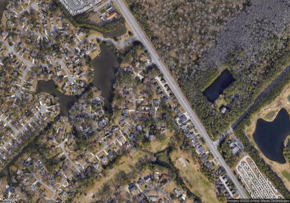
Map
Nearby Homes
- 1930 Kate Ln
- 1787 Bay Tree Ln
- 740 Bickell Ct
- 2077 N Berwick Dr
- 2038 N Berwick Dr
- 1618 Heathmuir Dr
- 1769 Crooked Pine Dr
- 2110 N Berwick Dr
- 1582 Southwood Dr
- 2118 N Berwick Dr
- 1817 Crooked Pine Dr Unit F5
- 440 Mikita Dr
- 444 Mikita Dr
- 376 Mikita Dr
- 1500 Westferry Crossing
- 379 Mikita Dr
- 371 Mikita Dr
- 454 Pacific Commons Dr
- 1471 Turkey Ridge Rd Unit C
- 1461 Turkey Ridge Rd Unit B
- 1847 Gibson Ave
- 1847 Gibson Ave Unit Deerfield
- 1857 Gibson Ave Unit 1857 Gibson Avenue
- 1857 Gibson Ave
- 1992 Bobcat Ct
- 1846 Gibson Ave
- 1873 Gibson Ave
- 1919 Dick Pond Rd Unit A & B
- 1919 Dick Pond Rd
- 1919 Dick Pond Rd Unit A
- 1915 Dick Pond Rd Unit A & B
- 1915 Dick Pond Rd Unit Hwy 544 East
- 1915 Dick Pond Rd Unit A & B
- 1915 Dick Pond Rd
- 1923 Dick Pond Rd Unit A & B Dick Pond
- 1923 Dick Pond Rd Unit A & B
- 1923 Dick Pond Rd
- 1838 Gibson Ave
- 1856 Gibson Ave
- 1911 Dick Pond Rd
Your Personal Tour Guide
Ask me questions while you tour the home.