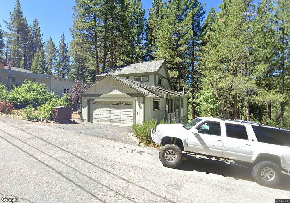
1847 Mohican Dr South Lake Tahoe, CA 96150
Estimated Value: $684,841 - $894,000
3
Beds
2
Baths
1,576
Sq Ft
$476/Sq Ft
Est. Value
About This Home
This home is located at 1847 Mohican Dr, South Lake Tahoe, CA 96150 and is currently estimated at $750,460, approximately $476 per square foot. 1847 Mohican Dr is a home located in El Dorado County with nearby schools including Sierra House Elementary School, South Tahoe Middle School, and South Tahoe High School.
Ownership History
Date
Name
Owned For
Owner Type
Purchase Details
Closed on
Dec 22, 2006
Sold by
Wensel Walter L and Wensel Martha H
Bought by
Wensel Walter L and Wensel Martha H
Current Estimated Value
Purchase Details
Closed on
Nov 20, 2000
Sold by
Howard Anthony W and Howard Debra K
Bought by
Wensel Walter L and Wensel Martha H
Home Financials for this Owner
Home Financials are based on the most recent Mortgage that was taken out on this home.
Original Mortgage
$245,600
Outstanding Balance
$90,370
Interest Rate
7.86%
Estimated Equity
$660,090
Purchase Details
Closed on
Sep 22, 1999
Sold by
Howard Anthony W and Howard Debra K
Bought by
Howard Anthony W and Howard Debra K
Create a Home Valuation Report for This Property
The Home Valuation Report is an in-depth analysis detailing your home's value as well as a comparison with similar homes in the area
Home Values in the Area
Average Home Value in this Area
Purchase History
| Date | Buyer | Sale Price | Title Company |
|---|---|---|---|
| Wensel Walter L | -- | None Available | |
| Wensel Walter L | $307,000 | Placer Title Company | |
| Howard Anthony W | -- | -- | |
| Howard Anthony W | -- | -- |
Source: Public Records
Mortgage History
| Date | Status | Borrower | Loan Amount |
|---|---|---|---|
| Open | Wensel Walter L | $245,600 |
Source: Public Records
Tax History Compared to Growth
Tax History
| Year | Tax Paid | Tax Assessment Tax Assessment Total Assessment is a certain percentage of the fair market value that is determined by local assessors to be the total taxable value of land and additions on the property. | Land | Improvement |
|---|---|---|---|---|
| 2025 | $4,921 | $462,568 | $180,803 | $281,765 |
| 2024 | $4,921 | $453,499 | $177,258 | $276,241 |
| 2023 | $4,836 | $444,608 | $173,783 | $270,825 |
| 2022 | $4,788 | $435,891 | $170,376 | $265,515 |
| 2021 | $4,712 | $427,345 | $167,036 | $260,309 |
| 2020 | $4,647 | $422,964 | $165,324 | $257,640 |
| 2019 | $4,684 | $420,172 | $162,083 | $258,089 |
| 2018 | $4,582 | $412,042 | $158,905 | $253,137 |
| 2017 | $4,511 | $404,072 | $155,790 | $248,282 |
| 2016 | $4,362 | $390,758 | $152,736 | $238,022 |
| 2015 | $3,818 | $384,891 | $150,443 | $234,448 |
| 2014 | $3,818 | $347,000 | $135,500 | $211,500 |
Source: Public Records
Map
Nearby Homes
- 1795 Narragansett Cir
- 1876 Bella Coola Dr
- 1502 Seminole Dr
- 1935 Apache Ave
- 1940 Apache Ave
- 1344 Ottawa Dr
- 1730 Inca Way
- 1444 Apache Ave
- 1593 Plumas Cir
- 2877 Us Highway 50
- 1540 Ojibwa St
- 1645 Iroquois Cir
- 1442 Vanderhoof Rd
- 1431 Vanderhoof Rd
- 1594 Canienaga St
- 1568 Chippewa St
- 1952 Osage Cir
- 1513 Cree St
- 1801 Meadow Vale Dr
- 1982 Cherokee St
- 1841 Mohican Dr
- 1835 Mohican Dr
- 1852 Mohican Dr
- 1875 Mohican Dr
- 1821 Mohican Dr
- 1809 Narragansett Cir
- 1813 Narragansett Cir
- 1874 Mohican Dr
- 1872 Haidas Cir
- 1887 Mohican Dr
- 1799 Narragansett Cir
- 1882 Haidas Cir
- 1870 Haidas Cir
- 1821 Narragansett Cir
- 1895 Mohican Dr
- 1816 Narragansett Cir
- 1863 Apache Ave
- 1798 Narragansett Cir
- 1866 Haidas Cir
- 1799 Mohican Dr