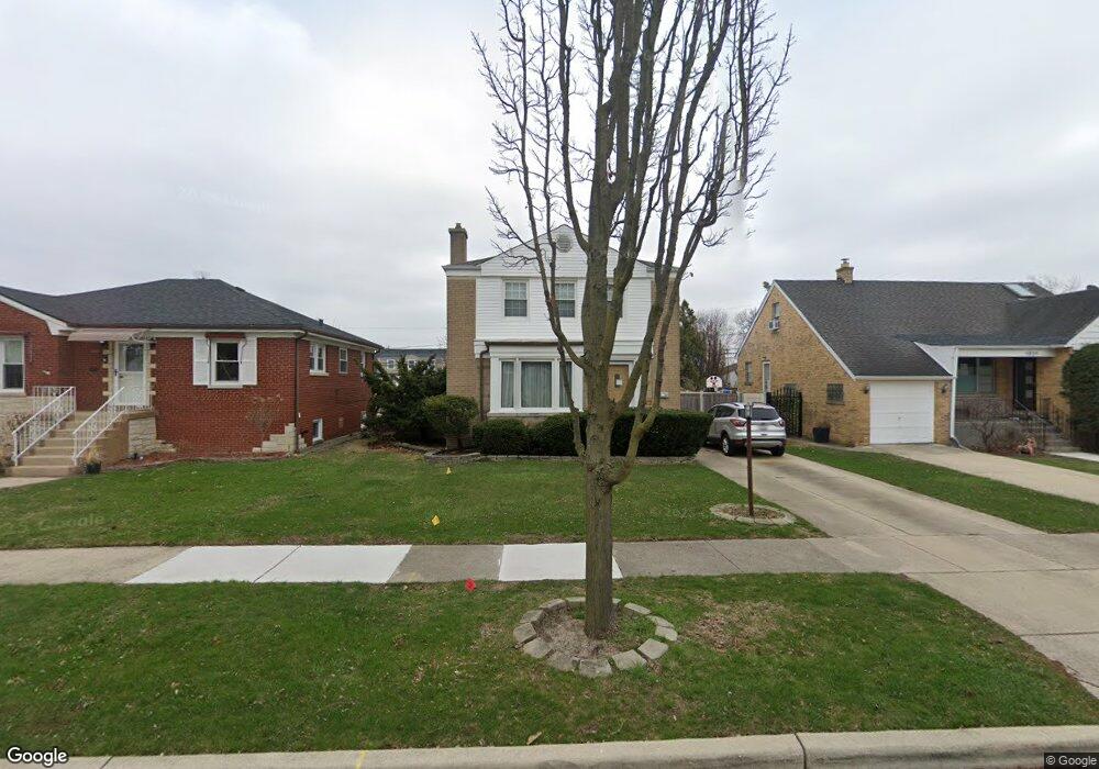
1847 Portsmouth Ave Westchester, IL 60154
Estimated Value: $430,000 - $478,269
4
Beds
3
Baths
2,063
Sq Ft
$221/Sq Ft
Est. Value
About This Home
This home is located at 1847 Portsmouth Ave, Westchester, IL 60154 and is currently estimated at $455,817, approximately $220 per square foot. 1847 Portsmouth Ave is a home located in Cook County with nearby schools including Westchester Primary School, Westchester Intermediate School, and Westchester Middle School.
Ownership History
Date
Name
Owned For
Owner Type
Purchase Details
Closed on
Oct 4, 2001
Sold by
Sponder James R and Sponder Carmen N
Bought by
Lasalle Bank National Assn and Trust #970175
Current Estimated Value
Purchase Details
Closed on
Dec 13, 1995
Sold by
Lucas Lowell J and Lucas Harriet L
Bought by
Sponder James R and Sponder Carmen N
Home Financials for this Owner
Home Financials are based on the most recent Mortgage that was taken out on this home.
Original Mortgage
$149,200
Interest Rate
7.43%
Create a Home Valuation Report for This Property
The Home Valuation Report is an in-depth analysis detailing your home's value as well as a comparison with similar homes in the area
Home Values in the Area
Average Home Value in this Area
Purchase History
| Date | Buyer | Sale Price | Title Company |
|---|---|---|---|
| Lasalle Bank National Assn | -- | -- | |
| Sponder James R | $186,500 | Attorneys Natl Title Network |
Source: Public Records
Mortgage History
| Date | Status | Borrower | Loan Amount |
|---|---|---|---|
| Previous Owner | Sponder James R | $149,200 |
Source: Public Records
Tax History Compared to Growth
Tax History
| Year | Tax Paid | Tax Assessment Tax Assessment Total Assessment is a certain percentage of the fair market value that is determined by local assessors to be the total taxable value of land and additions on the property. | Land | Improvement |
|---|---|---|---|---|
| 2024 | $7,791 | $33,000 | $4,655 | $28,345 |
| 2023 | $6,887 | $33,000 | $4,655 | $28,345 |
| 2022 | $6,887 | $25,994 | $3,990 | $22,004 |
| 2021 | $6,693 | $25,994 | $3,990 | $22,004 |
| 2020 | $6,605 | $25,994 | $3,990 | $22,004 |
| 2019 | $7,243 | $29,069 | $3,657 | $25,412 |
| 2018 | $7,147 | $29,069 | $3,657 | $25,412 |
| 2017 | $7,026 | $29,069 | $3,657 | $25,412 |
| 2016 | $6,450 | $24,612 | $3,325 | $21,287 |
| 2015 | $6,331 | $24,612 | $3,325 | $21,287 |
| 2014 | $6,200 | $24,612 | $3,325 | $21,287 |
| 2013 | $5,845 | $25,882 | $3,325 | $22,557 |
Source: Public Records
Map
Nearby Homes
- 1907 Suffolk Ave
- 1932 Newcastle Ave
- 1900 Manchester Ave
- 1623 Manchester Ave
- 1840 Gardner Rd
- 2128 Hull Ave
- 1601 Bristol Ave
- 1500 Bristol Ave
- 1433 Bristol Ave
- 10072 Drury Ln
- 10567 Waterford Dr
- 1245 S Mannheim Rd Unit 2
- 1247 S Mannheim Rd Unit 3
- 10531 Camelot St
- 10524 Camelot St
- 1119 Newcastle Ave
- 1860 Buckingham Ave
- 1811 Downing Ave
- 10630 W Cermak Rd Unit 2E
- 1542 Homestead Rd
- 1841 Portsmouth Ave
- 1851 Portsmouth Ave
- 1835 Portsmouth Ave
- 1857 Portsmouth Ave
- 1846 Suffolk Ave
- 1842 Suffolk Ave
- 1852 Suffolk Ave
- 1833 Portsmouth Ave
- 1836 Suffolk Ave
- 1856 Suffolk Ave
- 1846 Portsmouth Ave
- 1827 Portsmouth Ave
- 1832 Suffolk Ave
- 1842 Portsmouth Ave
- 1850 Portsmouth Ave
- 1903 Portsmouth Ave
- 1836 Portsmouth Ave
- 1856 Portsmouth Ave
- 1826 Suffolk Ave
- 1832 Portsmouth Ave