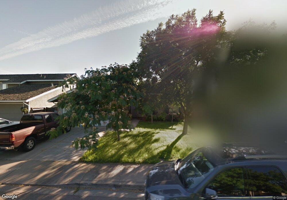
1847 Shadow Park Dr Turlock, CA 95380
Estimated Value: $226,000 - $541,000
4
Beds
3
Baths
1,875
Sq Ft
$239/Sq Ft
Est. Value
About This Home
This home is located at 1847 Shadow Park Dr, Turlock, CA 95380 and is currently estimated at $447,783, approximately $238 per square foot. 1847 Shadow Park Dr is a home located in Stanislaus County with nearby schools including Walter M. Brown Elementary School, Turlock Junior High School, and Marvin A. Dutcher Middle School.
Ownership History
Date
Name
Owned For
Owner Type
Purchase Details
Closed on
Oct 29, 2009
Sold by
Sexton James J and Sexton Kathleen J
Bought by
Snoke Julia and Snoke Jared
Current Estimated Value
Home Financials for this Owner
Home Financials are based on the most recent Mortgage that was taken out on this home.
Original Mortgage
$202,218
Outstanding Balance
$130,963
Interest Rate
4.92%
Mortgage Type
FHA
Estimated Equity
$316,820
Create a Home Valuation Report for This Property
The Home Valuation Report is an in-depth analysis detailing your home's value as well as a comparison with similar homes in the area
Purchase History
| Date | Buyer | Sale Price | Title Company |
|---|---|---|---|
| Snoke Julia | $208,000 | Stewart Title Of California |
Source: Public Records
Mortgage History
| Date | Status | Borrower | Loan Amount |
|---|---|---|---|
| Open | Snoke Julia | $202,218 |
Source: Public Records
Tax History
| Year | Tax Paid | Tax Assessment Tax Assessment Total Assessment is a certain percentage of the fair market value that is determined by local assessors to be the total taxable value of land and additions on the property. | Land | Improvement |
|---|---|---|---|---|
| 2025 | $2,822 | $267,948 | $64,533 | $203,415 |
| 2024 | $2,769 | $262,695 | $63,268 | $199,427 |
| 2023 | $2,763 | $257,545 | $62,028 | $195,517 |
| 2022 | $2,727 | $252,496 | $60,812 | $191,684 |
| 2021 | $2,686 | $247,546 | $59,620 | $187,926 |
| 2020 | $2,666 | $245,009 | $59,009 | $186,000 |
| 2019 | $2,621 | $240,205 | $57,852 | $182,353 |
| 2018 | $2,617 | $235,496 | $56,718 | $178,778 |
| 2017 | $2,555 | $230,879 | $55,606 | $175,273 |
| 2016 | $2,386 | $226,353 | $54,516 | $171,837 |
| 2015 | $2,365 | $222,954 | $53,698 | $169,256 |
| 2014 | $2,340 | $218,588 | $52,647 | $165,941 |
Source: Public Records
Map
Nearby Homes
- 2147 Sorrel Dr
- 2091 State St
- 1114 Kay Cir
- 2755 N Walnut Rd Unit 114
- 2470 Sea Lion Way
- 1186 Kay Cir
- 2065 Cody Ct
- 1001 Jacquelinelee Dr
- 2375 Oxford Ave
- 2531 Craftsman St
- 2315 Merriment Ct
- 1400 N Tully Rd Unit 120
- 1400 N Tully Rd Unit 187
- 1400 N Tully Rd Unit 91
- 1400 N Tully Rd Unit 168
- 2660 Oxford Ave
- 2400 Fulkerth Rd
- 2700 Oxford Ave
- 2450 Fulkerth Rd
- 1357 Mark Ct
- 1867 Shadow Park Dr
- 1887 Shadow Park Dr
- 1817 Shadow Park Dr
- 2242 Royal Wood Ln
- 1907 Shadow Park Dr
- 1807 Shadow Park Dr
- 1828 Shadow Park Dr
- 2222 Royal Wood Ln
- 1908 Shadow Park Dr
- 1803 Victoria Ct
- 1927 Shadow Park Dr
- 1797 Shadow Park Dr
- 1823 Victoria Ct
- 1928 Shadow Park Dr
- 2202 Royal Wood Ln
- 1863 Victoria Ct
- 1787 Shadow Park Dr
- 1883 Victoria Ct
- 2201 Royal Wood Ln
- 1948 Shadow Park Dr
Your Personal Tour Guide
Ask me questions while you tour the home.