Estimated Value: $269,000 - $517,000
3
Beds
2
Baths
2,610
Sq Ft
$151/Sq Ft
Est. Value
About This Home
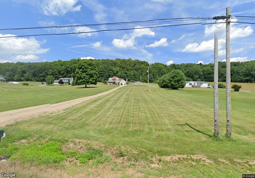
This home is located at 1847 State Route 39, Lucas, OH 44843 and is currently estimated at $393,000, approximately $150 per square foot. 1847 State Route 39 is a home located in Richland County with nearby schools including Lucas Elementary School, Lucas Heritage Middle School, and Lucas High School.
Ownership History
Date
Name
Owned For
Owner Type
Purchase Details
Closed on
Aug 3, 2007
Sold by
Hunt Charles and Hunt Betty J
Bought by
Lybarger Michael P and Lybarger Candace N
Current Estimated Value
Home Financials for this Owner
Home Financials are based on the most recent Mortgage that was taken out on this home.
Original Mortgage
$26,500
Interest Rate
6.73%
Mortgage Type
Purchase Money Mortgage
Create a Home Valuation Report for This Property
The Home Valuation Report is an in-depth analysis detailing your home's value as well as a comparison with similar homes in the area
Home Values in the Area
Average Home Value in this Area
Purchase History
| Date | Buyer | Sale Price | Title Company |
|---|---|---|---|
| Lybarger Michael P | $35,000 | Southern Title |
Source: Public Records
Mortgage History
| Date | Status | Borrower | Loan Amount |
|---|---|---|---|
| Closed | Lybarger Michael P | $26,500 |
Source: Public Records
Tax History Compared to Growth
Tax History
| Year | Tax Paid | Tax Assessment Tax Assessment Total Assessment is a certain percentage of the fair market value that is determined by local assessors to be the total taxable value of land and additions on the property. | Land | Improvement |
|---|---|---|---|---|
| 2024 | $109 | $2,530 | $2,530 | $0 |
| 2023 | $109 | $2,530 | $2,530 | $0 |
| 2022 | $3,461 | $73,750 | $8,460 | $65,290 |
| 2021 | $3,468 | $73,750 | $8,460 | $65,290 |
| 2020 | $3,524 | $73,750 | $8,460 | $65,290 |
| 2019 | $3,178 | $62,500 | $7,170 | $55,330 |
| 2018 | $3,270 | $62,500 | $7,170 | $55,330 |
| 2017 | $3,364 | $62,500 | $7,170 | $55,330 |
| 2016 | $3,436 | $65,970 | $6,450 | $59,520 |
| 2015 | $3,436 | $65,970 | $6,450 | $59,520 |
| 2014 | $3,452 | $65,970 | $6,450 | $59,520 |
| 2012 | $1,700 | $65,970 | $6,450 | $59,520 |
Source: Public Records
Map
Nearby Homes
- 1679 Pulver Rd
- 174 W Main St
- 27 E Main St
- 0 Moffett Rd
- 2061 Washington North Rd
- 1875 Mansfield Lucas Rd
- 1135 E Hanley Rd
- 0 State Route 39 & I-71 Northeast Quadrant
- 0 State Route 39 & I-71 Southeast Quadrant
- 929 Antionette Dr
- 2905 Tucker Rd
- 0 Garver Rd Washington Rd S Unit 20253648
- 0 Garver Washington Rd S
- 0 Mount Zion Rd Unit 9069748
- 0 Peterson Rd
- 0 Woodville Rd Unit Lot 14952, 14953
- 0 Woodville Rd Unit Lot 14954, 14955
- 0 Woodville Rd Unit Lot 14956, 14957,
- 0 Tucker Rd
- 3261 Moffett Rd
- 1851 State Route 39
- 2822 Mansfield Lucas Rd
- 2850 Mansfield Lucas Rd
- 1835 State Route 39
- 2849 Mansfield Lucas Rd
- 1848 Cemetery Rd
- 1825 State Route 39
- 1845 Cemetery Rd
- 1867 State Route 39
- 2834 Mansfield Lucas Rd
- 2845 Mansfield Lucas Rd
- 1807 State Route 39
- 1815 State Route 39
- 2847 Mansfield Lucas Rd
- 1883 State Route 39
- 1803 State Route 39
- 1803 State Route 39
- 1803 State Route 39
- 1803 State Route 39
- 2779 Mansfield Lucas Rd