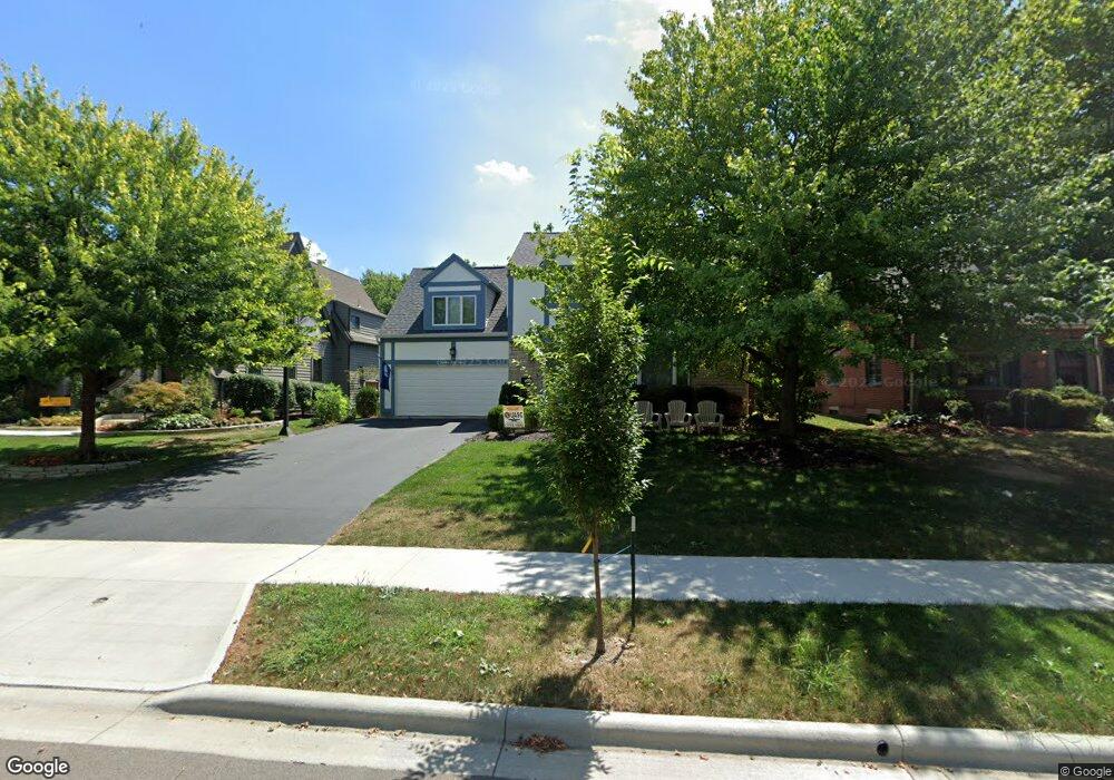
1847 Suffolk Rd Columbus, OH 43221
Estimated Value: $794,227 - $1,118,000
4
Beds
3
Baths
2,539
Sq Ft
$361/Sq Ft
Est. Value
About This Home
This home is located at 1847 Suffolk Rd, Columbus, OH 43221 and is currently estimated at $916,807, approximately $361 per square foot. 1847 Suffolk Rd is a home located in Franklin County with nearby schools including Barrington Road Elementary School, Jones Middle School, and Upper Arlington High School.
Ownership History
Date
Name
Owned For
Owner Type
Purchase Details
Closed on
May 25, 2022
Sold by
Johnson Bruce S and Johnson Michele B
Bought by
Johnson Michelle H and Johnson Nicholas S
Current Estimated Value
Home Financials for this Owner
Home Financials are based on the most recent Mortgage that was taken out on this home.
Original Mortgage
$390,000
Outstanding Balance
$368,958
Interest Rate
5.27%
Mortgage Type
New Conventional
Estimated Equity
$547,849
Purchase Details
Closed on
May 29, 1992
Bought by
Johnson Bruce S
Purchase Details
Closed on
Jul 11, 1989
Purchase Details
Closed on
Aug 1, 1983
Create a Home Valuation Report for This Property
The Home Valuation Report is an in-depth analysis detailing your home's value as well as a comparison with similar homes in the area
Home Values in the Area
Average Home Value in this Area
Purchase History
| Date | Buyer | Sale Price | Title Company |
|---|---|---|---|
| Johnson Michelle H | $620,000 | Stewart Title | |
| Johnson Bruce S | $210,000 | -- | |
| -- | $205,000 | -- | |
| -- | $128,000 | -- |
Source: Public Records
Mortgage History
| Date | Status | Borrower | Loan Amount |
|---|---|---|---|
| Open | Johnson Michelle H | $390,000 |
Source: Public Records
Tax History
| Year | Tax Paid | Tax Assessment Tax Assessment Total Assessment is a certain percentage of the fair market value that is determined by local assessors to be the total taxable value of land and additions on the property. | Land | Improvement |
|---|---|---|---|---|
| 2025 | $15,949 | $267,930 | $122,780 | $145,150 |
| 2024 | $15,949 | $267,930 | $122,780 | $145,150 |
| 2023 | $15,319 | $267,930 | $122,780 | $145,150 |
| 2022 | $14,548 | $216,940 | $69,480 | $147,460 |
| 2021 | $12,878 | $216,940 | $69,480 | $147,460 |
| 2020 | $12,764 | $216,940 | $69,480 | $147,460 |
| 2019 | $12,701 | $191,910 | $69,480 | $122,430 |
| 2018 | $12,052 | $191,910 | $69,480 | $122,430 |
| 2017 | $12,703 | $191,910 | $69,480 | $122,430 |
| 2016 | $11,486 | $180,960 | $64,930 | $116,030 |
| 2015 | $11,476 | $180,960 | $64,930 | $116,030 |
| 2014 | $11,389 | $180,960 | $64,930 | $116,030 |
| 2013 | $5,460 | $164,500 | $59,010 | $105,490 |
Source: Public Records
Map
Nearby Homes
- 1869 Tewksbury Rd
- 2208 Arlington Ave
- 1565 Berkshire Rd
- 2583 Wexford Rd
- 1508 Berkshire Rd
- 2585 Westmont Blvd
- 1960 Hillside Dr
- 1810 Ashland Ave
- 1785 Northwest Ct Unit D
- 1395 Upper Green Cir Unit 1395
- 1799 Kings Ct Unit B
- 1631 King Ave
- 2031 Concord Rd
- 1940 Scioto Pointe Dr
- 1507 Chesapeake Ave
- 1493 Chesapeake Ave
- 2803 N Star Rd
- 1461-1467 Chesapeake Ave
- 2015 W 5th Ave Unit 211
- 2015 W 5th Ave Unit 102
- 1841 Suffolk Rd
- 1863 Suffolk Rd
- 1835 Suffolk Rd
- 1826 Baldridge Rd
- 1840 Baldridge Rd
- 1820 Baldridge Rd
- 1816 Baldridge Rd
- 1848 Baldridge Rd
- 1848 Suffolk Rd
- 1842 Suffolk Rd
- 1871 Suffolk Rd
- 1864 Suffolk Rd
- 1840 Suffolk Rd
- 1872 Suffolk Rd
- 1821 Suffolk Rd
- 2281 Northwest Blvd
- 1856 Baldridge Rd
- 1806 Baldridge Rd
- 1832 Suffolk Rd
- 2280 Andover Rd
Your Personal Tour Guide
Ask me questions while you tour the home.