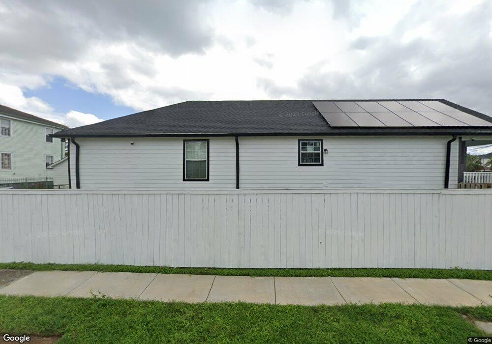
1848 Brutus St New Orleans, LA 70122
Dillard NeighborhoodEstimated Value: $238,687 - $283,000
3
Beds
2
Baths
1,300
Sq Ft
$207/Sq Ft
Est. Value
About This Home
This home is located at 1848 Brutus St, New Orleans, LA 70122 and is currently estimated at $269,172, approximately $207 per square foot. 1848 Brutus St is a home located in Orleans Parish with nearby schools including Audubon Gentilly, Mary Bethune Elementary School, and Arthur Ashe Charter School.
Ownership History
Date
Name
Owned For
Owner Type
Purchase Details
Closed on
Mar 13, 2020
Sold by
Epps Lawrence
Bought by
Reed Jeffrey Larson and Salinas Anabel
Current Estimated Value
Home Financials for this Owner
Home Financials are based on the most recent Mortgage that was taken out on this home.
Original Mortgage
$213,750
Outstanding Balance
$189,306
Interest Rate
3.5%
Mortgage Type
New Conventional
Estimated Equity
$79,866
Create a Home Valuation Report for This Property
The Home Valuation Report is an in-depth analysis detailing your home's value as well as a comparison with similar homes in the area
Home Values in the Area
Average Home Value in this Area
Purchase History
| Date | Buyer | Sale Price | Title Company |
|---|---|---|---|
| Reed Jeffrey Larson | $225,000 | Delta Title Corporation |
Source: Public Records
Mortgage History
| Date | Status | Borrower | Loan Amount |
|---|---|---|---|
| Open | Reed Jeffrey Larson | $213,750 |
Source: Public Records
Tax History Compared to Growth
Tax History
| Year | Tax Paid | Tax Assessment Tax Assessment Total Assessment is a certain percentage of the fair market value that is determined by local assessors to be the total taxable value of land and additions on the property. | Land | Improvement |
|---|---|---|---|---|
| 2025 | $2,038 | $22,290 | $4,380 | $17,910 |
| 2024 | $2,068 | $22,290 | $4,380 | $17,910 |
| 2023 | $1,921 | $21,380 | $2,920 | $18,460 |
| 2022 | $1,921 | $20,460 | $2,920 | $17,540 |
| 2021 | $2,095 | $21,380 | $2,920 | $18,460 |
| 2020 | $2,421 | $16,650 | $2,920 | $13,730 |
| 2019 | $2,405 | $15,920 | $2,190 | $13,730 |
| 2018 | $2,453 | $15,920 | $2,190 | $13,730 |
| 2017 | $2,342 | $15,920 | $2,190 | $13,730 |
| 2016 | $2,416 | $15,920 | $2,190 | $13,730 |
| 2015 | $326 | $2,190 | $2,190 | $0 |
| 2014 | -- | $2,190 | $2,190 | $0 |
| 2013 | -- | $2,190 | $2,190 | $0 |
Source: Public Records
Map
Nearby Homes
- 1858 Brutus St
- 1862 Brutus St
- 4741 New Orleans St
- 4731 New Orleans St
- 1861 Brutus St
- 1847 49 Brutus St
- 1847 Brutus St
- 4725 New Orleans St
- 1869 Brutus St
- 1855 Brutus St
- 1849 Brutus St
- 4721 New Orleans St
- 1872 Brutus St
- 4732 Allen St
- 1845 Brutus St
- 4713 New Orleans St
- 4722 Allen St
- 4821 New Orleans St
- 4821 23 New Orleans St
- 1821 Carnot St