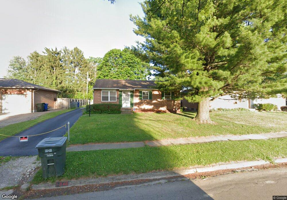
1848 Lonsdale Rd Columbus, OH 43232
Pine Hills NeighborhoodEstimated Value: $170,360 - $209,000
3
Beds
1
Bath
925
Sq Ft
$208/Sq Ft
Est. Value
About This Home
This home is located at 1848 Lonsdale Rd, Columbus, OH 43232 and is currently estimated at $192,590, approximately $208 per square foot. 1848 Lonsdale Rd is a home located in Franklin County with nearby schools including Woodcrest Elementary School, Sherwood Middle School, and Walnut Ridge High School.
Ownership History
Date
Name
Owned For
Owner Type
Purchase Details
Closed on
Jul 6, 2015
Sold by
Law Daniel B and Law Sherry D
Bought by
Law Daniel B and Law Sherry D
Current Estimated Value
Purchase Details
Closed on
Jun 6, 1988
Bought by
Law Daniel B and Law Sherry D
Purchase Details
Closed on
Oct 1, 1981
Purchase Details
Closed on
Sep 1, 1980
Create a Home Valuation Report for This Property
The Home Valuation Report is an in-depth analysis detailing your home's value as well as a comparison with similar homes in the area
Home Values in the Area
Average Home Value in this Area
Purchase History
| Date | Buyer | Sale Price | Title Company |
|---|---|---|---|
| Law Daniel B | -- | None Available | |
| Law Daniel B | $56,900 | -- | |
| -- | $45,700 | -- | |
| -- | $39,000 | -- |
Source: Public Records
Tax History Compared to Growth
Tax History
| Year | Tax Paid | Tax Assessment Tax Assessment Total Assessment is a certain percentage of the fair market value that is determined by local assessors to be the total taxable value of land and additions on the property. | Land | Improvement |
|---|---|---|---|---|
| 2024 | $2,016 | $44,910 | $11,830 | $33,080 |
| 2023 | $1,990 | $44,905 | $11,830 | $33,075 |
| 2022 | $1,316 | $25,380 | $5,530 | $19,850 |
| 2021 | $1,319 | $25,380 | $5,530 | $19,850 |
| 2020 | $1,320 | $25,380 | $5,530 | $19,850 |
| 2019 | $1,210 | $19,950 | $4,410 | $15,540 |
| 2018 | $1,247 | $19,950 | $4,410 | $15,540 |
| 2017 | $1,210 | $19,950 | $4,410 | $15,540 |
| 2016 | $1,417 | $21,390 | $4,520 | $16,870 |
| 2015 | $1,286 | $21,390 | $4,520 | $16,870 |
| 2014 | $1,289 | $21,390 | $4,520 | $16,870 |
| 2013 | -- | $23,730 | $5,005 | $18,725 |
Source: Public Records
Map
Nearby Homes
- 1835 Woodette Rd
- 5337 Ivyhurst Dr
- 1759 Lonsdale Rd
- 1942 Bairsford Dr Unit 944
- 5596 Autumn Chase Dr
- 5366 Yorkshire Village Ln Unit B-22
- 1945 Riverdale Rd
- 1616 Coppertree Rd Unit 1615
- 5036 Brinwood Place
- 1930 Walnut Hill Park Dr
- 1718 Sunapple Way
- 1591 Stephanie Ct Unit 15912
- 1486 Efner Dr
- 2173 Noe Bixby Rd
- 5123 Jameson Dr
- 5846 Riverton Rd
- 5114 Carbondale Dr
- 1320 Nancy Ln
- 5061 Labelle Dr
- 5268 Carbondale Dr
- 1856 Lonsdale Rd
- 1840 Lonsdale Rd
- 1832 Lonsdale Rd
- 1864 Lonsdale Rd
- 1861 Stetson Rd
- 1869 Stetson Rd
- 1855 Stetson Rd
- 1849 Stetson Rd
- 1870 Lonsdale Rd
- 1839 Lonsdale Rd
- 1875 Stetson Rd
- 1847 Lonsdale Rd
- 1831 Lonsdale Rd
- 1841 Stetson Rd
- 1883 Stetson Rd
- 1823 Lonsdale Rd
- 1816 Lonsdale Rd
- 1863 Lonsdale Rd
- 1835 Stetson Rd
- 1815 Lonsdale Rd