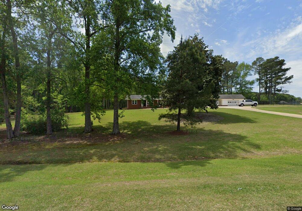
1848 Nc Highway 50 S Benson, NC 27504
Estimated Value: $209,000 - $561,264
2
Beds
2
Baths
1,325
Sq Ft
$270/Sq Ft
Est. Value
About This Home
This home is located at 1848 Nc Highway 50 S, Benson, NC 27504 and is currently estimated at $358,066, approximately $270 per square foot. 1848 Nc Highway 50 S is a home with nearby schools including Benson Elementary School, Benson Middle School, and South Johnston High School.
Ownership History
Date
Name
Owned For
Owner Type
Purchase Details
Closed on
Apr 30, 2019
Sold by
Sorrell Kinsey Freddy G and Sorrell Kinsey Marilyn
Bought by
Jones Samuel L
Current Estimated Value
Home Financials for this Owner
Home Financials are based on the most recent Mortgage that was taken out on this home.
Original Mortgage
$165,600
Outstanding Balance
$145,889
Interest Rate
4.3%
Mortgage Type
New Conventional
Estimated Equity
$212,177
Purchase Details
Closed on
Jul 18, 2006
Sold by
Kinsey Gladys Wood
Bought by
Kinsey Earl J
Create a Home Valuation Report for This Property
The Home Valuation Report is an in-depth analysis detailing your home's value as well as a comparison with similar homes in the area
Home Values in the Area
Average Home Value in this Area
Purchase History
| Date | Buyer | Sale Price | Title Company |
|---|---|---|---|
| Jones Samuel L | $184,000 | None Available | |
| Kinsey Earl J | -- | None Available |
Source: Public Records
Mortgage History
| Date | Status | Borrower | Loan Amount |
|---|---|---|---|
| Open | Jones Samuel L | $165,600 |
Source: Public Records
Tax History Compared to Growth
Tax History
| Year | Tax Paid | Tax Assessment Tax Assessment Total Assessment is a certain percentage of the fair market value that is determined by local assessors to be the total taxable value of land and additions on the property. | Land | Improvement |
|---|---|---|---|---|
| 2025 | $3,270 | $514,940 | $193,600 | $321,340 |
| 2024 | $1,980 | $244,410 | $70,060 | $174,350 |
| 2023 | $1,980 | $244,410 | $70,060 | $174,350 |
| 2022 | $1,141 | $134,280 | $54,970 | $79,310 |
| 2021 | $1,141 | $134,280 | $54,970 | $79,310 |
| 2020 | $1,155 | $134,280 | $54,970 | $79,310 |
| 2019 | $1,236 | $143,680 | $64,370 | $79,310 |
| 2018 | $0 | $129,290 | $59,260 | $70,030 |
| 2017 | $1,086 | $244,670 | $173,700 | $70,970 |
| 2016 | $1,073 | $244,670 | $173,700 | $70,970 |
| 2015 | $1,073 | $244,670 | $173,700 | $70,970 |
| 2014 | $1,073 | $244,670 | $173,700 | $70,970 |
Source: Public Records
Map
Nearby Homes
- 312 S Eastwood Dr Unit (Lot 11)
- 310 S Eastwood Dr Unit (Lot 10)
- 104 S Buggy Dr
- 104 S Buggy Dr Unit 71
- 1200D Morgan Rd
- 1284 N Carolina 50
- 23 Surles Landing Way
- 310 Chicopee Rd
- 81 Beasley Estates Dr
- 0 S Dunn St
- 0 Beasley Rd
- 130 Surles Landing Way
- 171 Surles Landing Way
- 162 Surles Landing Way
- 178 Surles Landing Way
- 186 Surles Landing Way
- 187 Surles Landing Way
- 307 E Holmes St
- 0 Chicopee Rd Unit 10097773
- 00 N Johnson St
- 133 Banner Heights Rd
- 129 Banner Heights Rd
- 204 Banner Ln
- 208 Banner Ln
- 208 Banner St
- 2079 Nc Highway 50 S
- 114 Banner Heights Rd
- 40 Surles Rd
- 205 Banner Ln
- 98 Surles Rd
- 2152 Nc Highway 50 S
- 122 Surles Rd
- 121 Banner Heights Rd
- 117 Banner Heights Rd
- 21 Surles Rd
- 140 Surles Rd
- 93 Surles Rd
- 2176 Nc Highway 50 S
- 111 Surles Rd
- 156 Surles Rd