18482 363rd Cir Earlham, IA 50072
Estimated Value: $399,048 - $542,000
3
Beds
3
Baths
1,528
Sq Ft
$307/Sq Ft
Est. Value
About This Home
This home is located at 18482 363rd Cir, Earlham, IA 50072 and is currently estimated at $469,016, approximately $306 per square foot. 18482 363rd Cir is a home with nearby schools including Earlham Elementary School, Earlham Middle School, and Earlham Senior High School.
Ownership History
Date
Name
Owned For
Owner Type
Purchase Details
Closed on
Sep 11, 2023
Sold by
Lorimor Margaret A and Lorimor Jeffery C
Bought by
Lorimor Margaret A and Lorimor Jeffery C
Current Estimated Value
Purchase Details
Closed on
Jul 14, 2022
Sold by
Kenworthy Richard A and Kenworthy Patricia K
Bought by
Richard And Patricia Kenworthy Family Trust
Purchase Details
Closed on
Jun 6, 2022
Sold by
Kenworthy Richard A and Kenworthy Patricia K
Bought by
Lorimor Margaret A and Lorimor Jeffery C
Purchase Details
Closed on
Sep 8, 2021
Sold by
Kenworthy Beryl A
Bought by
Lorimor Margaret A
Create a Home Valuation Report for This Property
The Home Valuation Report is an in-depth analysis detailing your home's value as well as a comparison with similar homes in the area
Home Values in the Area
Average Home Value in this Area
Purchase History
| Date | Buyer | Sale Price | Title Company |
|---|---|---|---|
| Lorimor Margaret A | -- | None Listed On Document | |
| Richard And Patricia Kenworthy Family Trust | $1,000 | None Listed On Document | |
| Lorimor Margaret A | $50,500 | None Listed On Document | |
| Lorimor Margaret A | -- | -- |
Source: Public Records
Tax History Compared to Growth
Tax History
| Year | Tax Paid | Tax Assessment Tax Assessment Total Assessment is a certain percentage of the fair market value that is determined by local assessors to be the total taxable value of land and additions on the property. | Land | Improvement |
|---|---|---|---|---|
| 2024 | $2,546 | $245,320 | $40,540 | $204,780 |
| 2023 | $2,546 | $245,320 | $40,540 | $204,780 |
| 2022 | $2,236 | $206,730 | $32,850 | $173,880 |
| 2021 | $2,236 | $184,490 | $32,850 | $151,640 |
| 2020 | $2,194 | $159,040 | $32,850 | $126,190 |
| 2019 | $2,364 | $159,040 | $32,850 | $126,190 |
| 2018 | $2,364 | $181,230 | $45,520 | $135,710 |
| 2017 | $2,394 | $181,230 | $45,520 | $135,710 |
| 2016 | $2,386 | $183,560 | $46,840 | $136,720 |
| 2015 | $2,392 | $186,810 | $0 | $0 |
| 2014 | $2,392 | $175,330 | $0 | $0 |
Source: Public Records
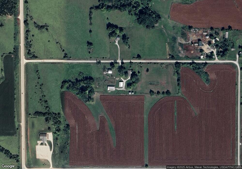
Map
Nearby Homes
- 18990 365th St
- 19075 Jewell Dr
- 001 365th St
- 000 365th St
- Lot 4 365th St
- 515 NE Maple Ave
- 19724-B 365th St
- 19724 365th St
- 315 NE Cedar Ave
- 455 NE 2nd St
- 340 NW 3rd St
- 36026 Jewell Ct
- 455 NW 2nd St
- 155 NW Walnut Ave
- 255 SW Walnut Ave
- 34089 Mill Creek Dr
- 35446 L Ln
- Lot 20 Amended Plat of Mill Creek St
- 15617 Bear Creek Rd
- 35796 M Ln
- 18479 363rd Cir
- 18727 363rd Cir
- 18755 363rd Cir
- 0 I-80 & Hwy 169 Unit 395390
- 36551 Ch P57 Ave
- 3600 I Ave
- 18561 Jewell Dr
- 36665 Ch P57 Ave
- 18826 365th St
- 34838 Jewell Dr
- ... Jewell Dr
- 0 Jewell Dr
- 34932 Jewell Dr
- 35811 I Ave
- 35865 I Ct
- 36330 Hull Ct
- 19036 365th St
- 35816 I Ave
- 36250 Hull Ct
- 36560 Hull Ct