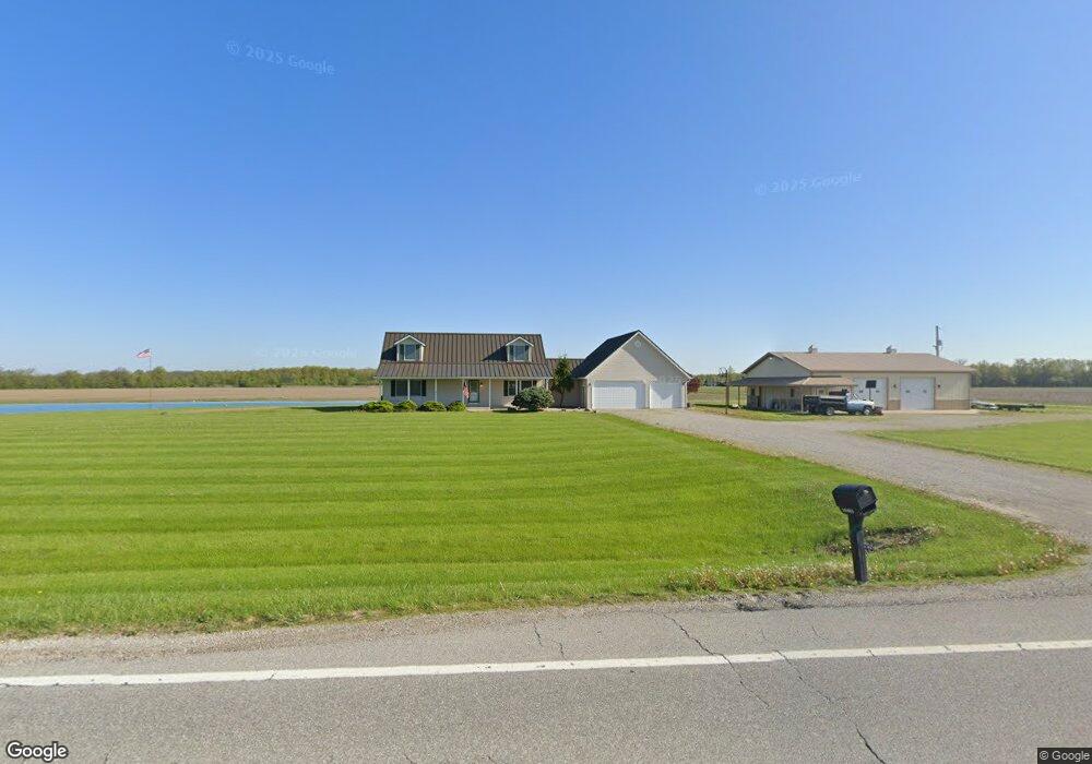
18483 State Route 111 Paulding, OH 45879
Estimated Value: $314,000 - $475,000
3
Beds
2
Baths
2,462
Sq Ft
$154/Sq Ft
Est. Value
About This Home
This home is located at 18483 State Route 111, Paulding, OH 45879 and is currently estimated at $378,523, approximately $153 per square foot. 18483 State Route 111 is a home located in Paulding County with nearby schools including Paulding High School.
Ownership History
Date
Name
Owned For
Owner Type
Purchase Details
Closed on
Nov 30, 2017
Sold by
Graf Catherine J and Gross Catherine J
Bought by
Gross Douglas D
Current Estimated Value
Purchase Details
Closed on
Apr 5, 2006
Sold by
Gross Douglas D and Gross Catherine J
Bought by
Gorss Douglas D and Gross Catherine J
Purchase Details
Closed on
Jan 7, 2000
Bought by
Gross Douglas D Gross Catherine J
Create a Home Valuation Report for This Property
The Home Valuation Report is an in-depth analysis detailing your home's value as well as a comparison with similar homes in the area
Purchase History
We collect this data history from publicly available records. To have your information removed, we recommend requesting removal directly through your county’s website.
| Date | Buyer | Sale Price | Title Company |
|---|---|---|---|
| Gross Douglas D | -- | None Available | |
| Gorss Douglas D | -- | None Available | |
| Gross Douglas D Gross Catherine J | -- | -- |
Source: Public Records
Tax History
| Year | Tax Paid | Tax Assessment Tax Assessment Total Assessment is a certain percentage of the fair market value that is determined by local assessors to be the total taxable value of land and additions on the property. | Land | Improvement |
|---|---|---|---|---|
| 2025 | $3,917 | $115,990 | $17,640 | $98,350 |
| 2024 | $3,917 | $82,850 | $12,600 | $70,250 |
| 2023 | $2,862 | $82,850 | $12,600 | $70,250 |
| 2022 | $2,900 | $82,850 | $12,600 | $70,250 |
| 2021 | $2,604 | $68,640 | $11,730 | $56,910 |
| 2020 | $2,719 | $68,640 | $11,730 | $56,910 |
| 2019 | $2,743 | $65,950 | $11,730 | $54,220 |
| 2018 | $2,649 | $65,950 | $11,730 | $54,220 |
| 2017 | $2,653 | $65,950 | $11,730 | $54,220 |
| 2016 | $2,653 | $65,950 | $11,730 | $54,220 |
| 2015 | $2,631 | $66,260 | $11,200 | $55,060 |
| 2014 | $2,295 | $58,280 | $11,200 | $47,080 |
| 2013 | $2,453 | $58,280 | $11,200 | $47,080 |
Source: Public Records
Map
Nearby Homes
- 14364 Road 171
- 14354 Road 171
- 16286 County Road 149
- 15051 Road 179
- 17341 Road 139
- 21549 Bowman Rd
- 14309 Singer Rd
- 14831 State Route 66
- 15175 County Road 424
- 13795 Nancy St
- 13502 Rita St
- 1911 Willow Bay Dr
- 24220 County Road 196
- 1157 Emerald Rd
- 2029 Shawnee Dr
- 22266 Road 128
- 22417 Road 128
- 0 Switzer Rd
- 12035 Royer Ave
- 19879 Switzer Rd
- 18262 State Route 111
- 18345 State Route 111
- 18345 State Route 111
- 11 County Road 111
- 18259 State Route 111
- 15206 County Road 149
- 15255 County Road 149
- 18633 County Road 111
- 18692 State Route 111
- 18692 State Route 111
- 18692 Ohio 111
- 15289 County Road 149
- 18922 County Road 1005
- 15323 County Road 149
- 18561 County Road 111
- 18890 County Road 1005
- 18724 County Road 111
- 18832 County Road 1005
- 18804 County Road 1005
- 15385 Road 149
Your Personal Tour Guide
Ask me questions while you tour the home.