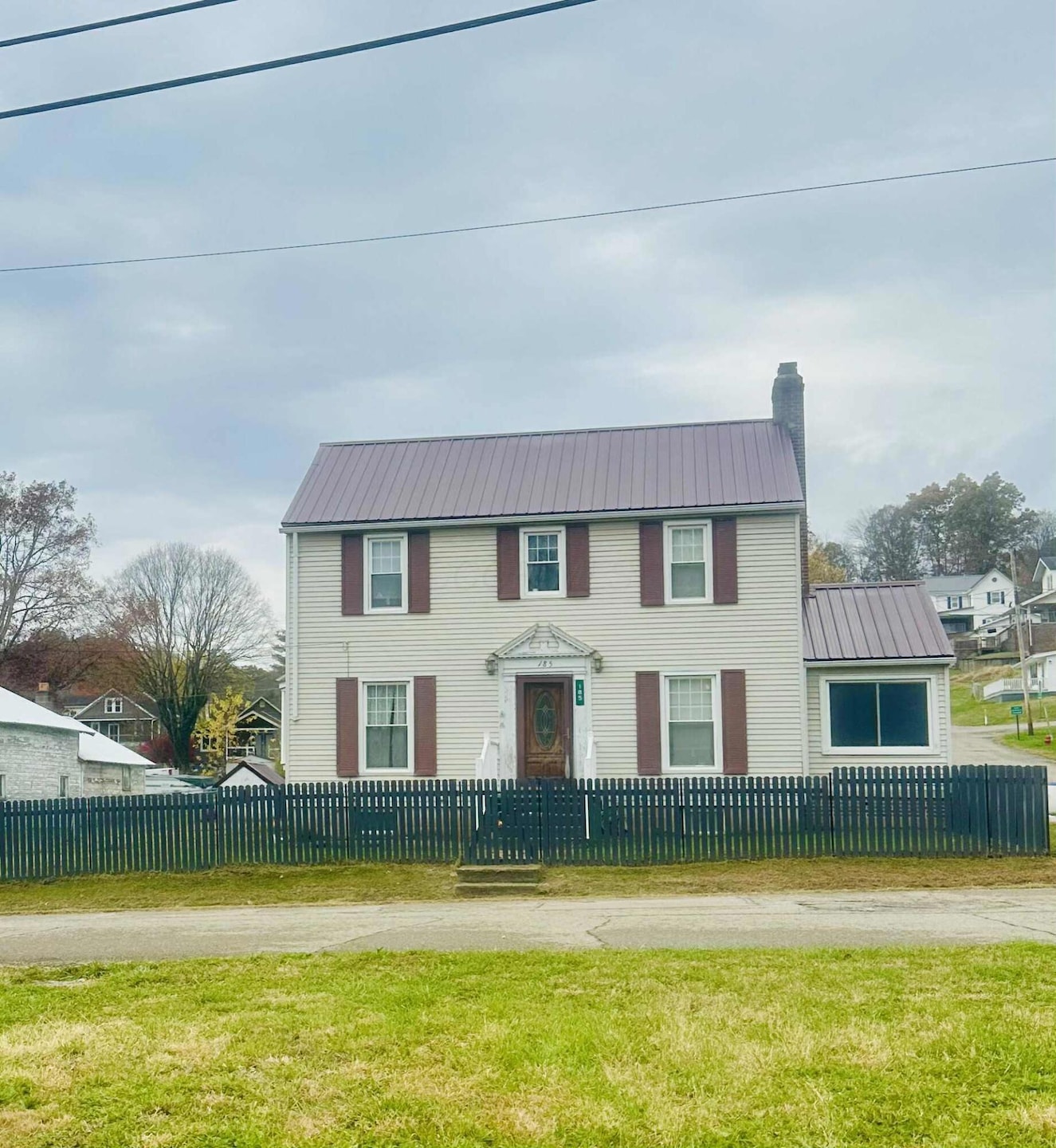
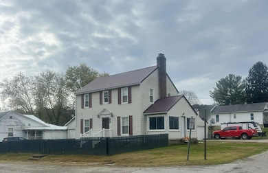
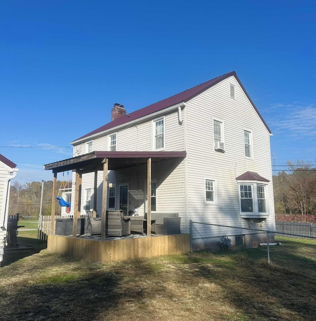
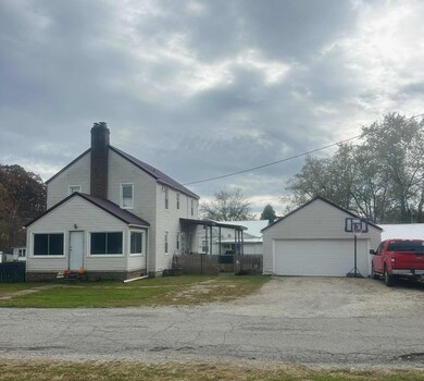
185 Adams St Corning, OH 43730
Estimated payment $1,055/month
Highlights
- No HOA
- 2 Car Detached Garage
- Forced Air Heating and Cooling System
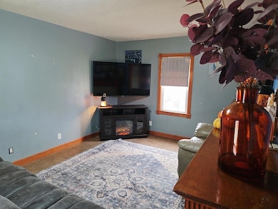
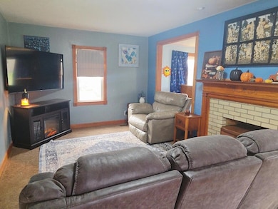
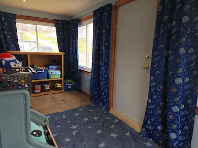
About This Home
This home is located at 185 Adams St, Corning, OH 43730 and is currently priced at $169,900, approximately $107 per square foot. This property was built in 1940. 185 Adams St is a home located in Perry County with nearby schools including Millcreek Elementary School and Miller High School.
Home Details
Home Type
- Single Family
Est. Annual Taxes
- $1,917
Year Built
- Built in 1940
Lot Details
- 2,614 Sq Ft Lot
- Additional Parcels
Parking
- 2 Car Detached Garage
Interior Spaces
- 1,576 Sq Ft Home
- 2-Story Property
- Basement Fills Entire Space Under The House
Bedrooms and Bathrooms
- 3 Bedrooms
Utilities
- Forced Air Heating and Cooling System
- Heating System Uses Gas
Community Details
- No Home Owners Association
Listing and Financial Details
- Assessor Parcel Number 220004020000
Map
Home Values in the Area
Average Home Value in this Area
Tax History
| Year | Tax Paid | Tax Assessment Tax Assessment Total Assessment is a certain percentage of the fair market value that is determined by local assessors to be the total taxable value of land and additions on the property. | Land | Improvement |
|---|---|---|---|---|
| 2024 | $1,917 | $33,750 | $750 | $33,000 |
| 2023 | $1,917 | $33,750 | $750 | $33,000 |
| 2022 | $1,604 | $23,660 | $650 | $23,010 |
| 2021 | $1,485 | $23,660 | $650 | $23,010 |
| 2020 | $1,485 | $23,660 | $650 | $23,010 |
| 2019 | $1,388 | $21,400 | $650 | $20,750 |
| 2018 | $557 | $21,400 | $650 | $20,750 |
| 2017 | $560 | $21,400 | $650 | $20,750 |
| 2016 | $572 | $21,530 | $400 | $21,130 |
| 2015 | $572 | $21,530 | $400 | $21,130 |
| 2014 | $910 | $21,530 | $400 | $21,130 |
| 2013 | $544 | $21,530 | $400 | $21,130 |
| 2012 | -- | $21,530 | $400 | $21,130 |
Property History
| Date | Event | Price | List to Sale | Price per Sq Ft |
|---|---|---|---|---|
| 11/18/2025 11/18/25 | For Sale | $169,900 | -- | $108 / Sq Ft |
Purchase History
| Date | Type | Sale Price | Title Company |
|---|---|---|---|
| Warranty Deed | $60,000 | Secure Title Services Ltd | |
| Deed | -- | None Available | |
| Cash Sale Deed | $52,000 | None Available |
Mortgage History
| Date | Status | Loan Amount | Loan Type |
|---|---|---|---|
| Open | $58,888 | New Conventional | |
| Previous Owner | $45,640 | USDA |
Source: Columbus and Central Ohio Regional MLS
MLS Number: 225043314
APN: 220004020000
Disclaimer: Certain information contained herein is derived from information provided by parties other than Homes.com. All information provided is deemed reliable, but is not guaranteed to be accurate and should be independently verified.
![]() IDX information is provided exclusively for personal, non-commercial use, and may not be used for any purpose other than to identify prospective properties consumers may be interested in purchasing.
IDX information is provided exclusively for personal, non-commercial use, and may not be used for any purpose other than to identify prospective properties consumers may be interested in purchasing.
Information is deemed reliable but not guaranteed.
- 221 Washington St
- 136 Jones St
- 142 Church St
- 135 S Valley St
- 207 W Main St
- 0 Thresher St
- 115 Marshall St
- 6495 Township Road 293 SE
- 0 NE Township Road 202 Unit 20250430
- Tract 4 State Route 155 SE
- Tract 3 State Route 155 SE
- Tract 3 State Route 155 SE
- 6819 County Road 68
- 0 Scenic Rd SE Unit 25510097
- 0 Scenic Rd SE Unit (The Woods at Scenic
- 7783 Township Road 216 SE Unit (Lil Slice of Heaven
- 7783 Town Highway 216
- 11403 Township Road 326 SE
- 7705 Township Rd 216 SE
- 7705 Township Road 216 SE Unit (Woodview Cabin Scen
- 317 N High St
- 317 N High St
- 317 N High St
- 317 N High St
- 189 Fayette St
- 789 Walnut St
- 15577 State Route 691
- 15 5th St Unit 15
- 2441 Township Rd 145 NE
- 36 Poston Rd
- 109 N Plains Rd Unit NPV
- 61 Main St Unit B
- 21 Main St
- 72 E 1st St Unit 72
- 504 Altamonte Dr Unit 504
- 3875 Roseville Rd
- 57 Elmwood Place
- 57 Elmwood Place
- EAST E State St
- 3420 Point Lookout Rd
