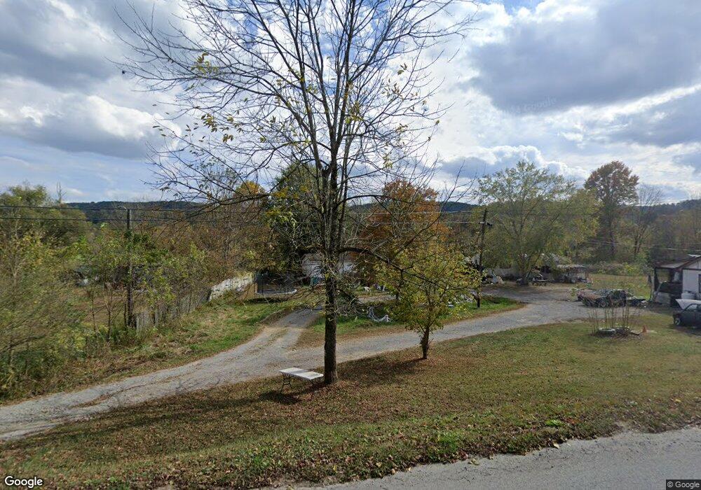
185 Brock Rd Maynardville, TN 37807
Paulette NeighborhoodEstimated Value: $80,617 - $263,000
--
Bed
--
Bath
--
Sq Ft
0.45
Acres
About This Home
This home is located at 185 Brock Rd, Maynardville, TN 37807 and is currently estimated at $148,404. 185 Brock Rd is a home with nearby schools including Paulette Elementary School, Union County High School, and H Maynard Middle School.
Ownership History
Date
Name
Owned For
Owner Type
Purchase Details
Closed on
May 19, 2020
Sold by
Metcalf Ruby
Bought by
Ward Norman Eugene and Ward Deborah Lynn
Current Estimated Value
Purchase Details
Closed on
Apr 23, 1987
Purchase Details
Closed on
Jan 1, 1982
Create a Home Valuation Report for This Property
The Home Valuation Report is an in-depth analysis detailing your home's value as well as a comparison with similar homes in the area
Home Values in the Area
Average Home Value in this Area
Purchase History
| Date | Buyer | Sale Price | Title Company |
|---|---|---|---|
| Ward Norman Eugene | $9,000 | None Available | |
| Ward Norman Eugene | $9,000 | None Available | |
| -- | $500 | -- | |
| -- | $1,000 | -- | |
| -- | $1,000 | -- |
Source: Public Records
Tax History Compared to Growth
Tax History
| Year | Tax Paid | Tax Assessment Tax Assessment Total Assessment is a certain percentage of the fair market value that is determined by local assessors to be the total taxable value of land and additions on the property. | Land | Improvement |
|---|---|---|---|---|
| 2024 | $53 | $2,775 | $1,975 | $800 |
| 2023 | $53 | $2,775 | $2,300 | $475 |
| 2022 | $44 | $2,775 | $2,300 | $475 |
| 2021 | $40 | $1,875 | $1,475 | $400 |
| 2020 | $40 | $1,875 | $1,475 | $400 |
| 2019 | $40 | $1,875 | $1,475 | $400 |
| 2018 | $40 | $1,875 | $1,475 | $400 |
| 2017 | $40 | $1,875 | $1,475 | $400 |
| 2016 | $60 | $2,775 | $2,350 | $425 |
| 2015 | $60 | $2,775 | $2,350 | $425 |
| 2014 | $55 | $2,786 | $0 | $0 |
Source: Public Records
Map
Nearby Homes
- 213 Brock Rd
- 7725 Texas Valley Rd
- 9211 Brock Rd
- 9024 Welch Rd
- 9210 Brock Rd
- 211 Jamie St
- 215 Jamie St
- 323 Maynardville Hwy
- 112 Dogwood St
- L-7 Williams Dr
- 275 Dogwood Ln
- 8210 Wood Rd
- 7439 Haley Ln
- 0 Satterfield Rd Unit 1313221
- 8127 Campbells Point Rd
- 6901 Texas Valley Rd
- 00 Old Tazewell Pike
- 8012 Campbells Point Rd
- 0 Campbells Point Rd
- 8011 Campbells Point Rd