Estimated Value: $656,000 - $982,000
--
Bed
7
Baths
6,267
Sq Ft
$130/Sq Ft
Est. Value
About This Home
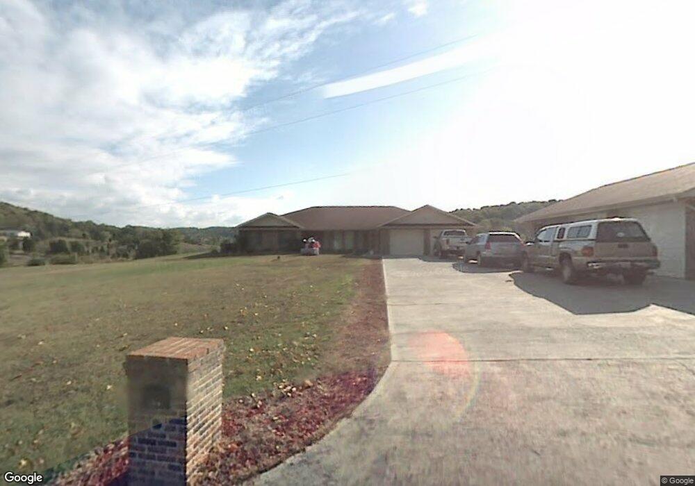
This home is located at 185 Byrd Dr, Kodak, TN 37764 and is currently estimated at $814,796, approximately $130 per square foot. 185 Byrd Dr is a home located in Sevier County with nearby schools including Northview Elementary School, Catons Chapel Elementary School, and Jones Cove Elementary School.
Ownership History
Date
Name
Owned For
Owner Type
Purchase Details
Closed on
Nov 5, 2014
Sold by
Byrd Gene
Bought by
Houk Gregory Lawrence and Houk Jordan Leighann
Current Estimated Value
Purchase Details
Closed on
Jun 22, 2012
Sold by
Jones Michael D
Bought by
Byrd Gene and Byrd Veronica K
Purchase Details
Closed on
Jul 17, 2006
Sold by
Kay Byrd Veronica
Bought by
Gene Byrd Harold
Purchase Details
Closed on
Jul 1, 2005
Sold by
Gene Byrd Harold
Bought by
Kay Byrd Veronica
Purchase Details
Closed on
Jun 4, 1999
Sold by
Gene Byrd Harold
Bought by
Moore George A
Create a Home Valuation Report for This Property
The Home Valuation Report is an in-depth analysis detailing your home's value as well as a comparison with similar homes in the area
Home Values in the Area
Average Home Value in this Area
Purchase History
| Date | Buyer | Sale Price | Title Company |
|---|---|---|---|
| Houk Gregory Lawrence | $25,000 | -- | |
| Byrd Gene | $10,000 | -- | |
| Gene Byrd Harold | -- | -- | |
| Gene Byrd Harold | -- | -- | |
| Gene Byrd Harold | -- | -- | |
| Kay Byrd Veronica | -- | -- | |
| Kay Byrd Veronica | -- | -- | |
| Moore George A | -- | -- |
Source: Public Records
Mortgage History
| Date | Status | Borrower | Loan Amount |
|---|---|---|---|
| Closed | Moore George A | -- |
Source: Public Records
Tax History Compared to Growth
Tax History
| Year | Tax Paid | Tax Assessment Tax Assessment Total Assessment is a certain percentage of the fair market value that is determined by local assessors to be the total taxable value of land and additions on the property. | Land | Improvement |
|---|---|---|---|---|
| 2025 | $2,479 | $167,500 | $24,725 | $142,775 |
| 2024 | $2,479 | $167,500 | $24,725 | $142,775 |
| 2023 | $2,479 | $167,500 | $0 | $0 |
| 2022 | $2,479 | $167,500 | $24,725 | $142,775 |
| 2021 | $2,479 | $167,500 | $24,725 | $142,775 |
| 2020 | $2,364 | $167,500 | $24,725 | $142,775 |
| 2019 | $2,364 | $127,100 | $19,150 | $107,950 |
| 2018 | $2,364 | $127,100 | $19,150 | $107,950 |
| 2017 | $2,364 | $127,100 | $19,150 | $107,950 |
| 2016 | $2,364 | $127,100 | $19,150 | $107,950 |
| 2015 | -- | $0 | $0 | $0 |
| 2014 | $2,258 | $138,533 | $0 | $0 |
Source: Public Records
Map
Nearby Homes
- 3919 Doan Dr
- Lot 56 Blue Byrd Ln
- Lot 6 Blue Byrd Ln
- 119 Banks Trail
- 521 Sourdough Hollow Rd
- 3628 Blue Byrd Ln
- 3855 Catewright Rd
- 4162 Snyder Rd Jones Dr
- 0 Thorngrove Pike
- 116 Jace Way
- 3929 Settlers Trail
- 120 Jace Way
- 3796 Wyatt Way
- Altamont Townhome Plan at Cherokee Crossing
- Mitchell Townhome Plan at Cherokee Crossing
- 3 Thorngrove Pike
- 7 Thorngrove Pike
- 3792 Wyatt Way
- 3788 Wyatt Way
- 3783 Wyatt Way
- 0 Byrd Dr
- 0 Byrd Dr
- 167 Byrd Dr
- 271 Byrd Dr
- 160 Byrd Dr
- 225 Byrd Farm Ln
- 155 Byrd Dr
- 240 Byrd Farm Ln
- 149 Byrd Dr Dr
- 149 Byrd Dr
- 246 Byrd Farm Ln
- 215 Byrd Farm Ln
- 299 Byrd Farm Ln
- 250 Byrd Farm Ln
- 3936 Snyder Rd
- 3960 Doan Dr
- 410 Crickett Ridge Way
- 4055 Snyder Rd
- 271 Byrd Farm Ln
- 0 Snyder Rd Unit 258206