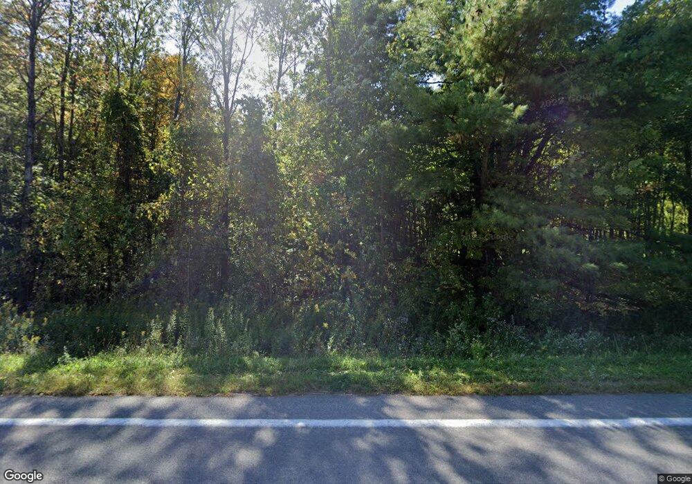
185 County Route 28 Malone, NY 12953
Estimated Value: $100,000 - $170,000
2
Beds
1
Bath
1,112
Sq Ft
$124/Sq Ft
Est. Value
About This Home
This home is located at 185 County Route 28, Malone, NY 12953 and is currently estimated at $138,072, approximately $124 per square foot. 185 County Route 28 is a home located in Franklin County with nearby schools including Saint Joseph's Elementary School, Malone Middle School, and Franklin Academy High School.
Ownership History
Date
Name
Owned For
Owner Type
Purchase Details
Closed on
Feb 21, 1996
Sold by
Hutchins Robert and Jean Barbara
Bought by
Hutchins Paul
Current Estimated Value
Create a Home Valuation Report for This Property
The Home Valuation Report is an in-depth analysis detailing your home's value as well as a comparison with similar homes in the area
Purchase History
| Date | Buyer | Sale Price | Title Company |
|---|---|---|---|
| Hutchins Paul | -- | -- |
Source: Public Records
Tax History Compared to Growth
Tax History
| Year | Tax Paid | Tax Assessment Tax Assessment Total Assessment is a certain percentage of the fair market value that is determined by local assessors to be the total taxable value of land and additions on the property. | Land | Improvement |
|---|---|---|---|---|
| 2024 | $1,979 | $7,500 | $300 | $7,200 |
| 2023 | $1,809 | $7,500 | $300 | $7,200 |
| 2022 | $1,851 | $7,500 | $300 | $7,200 |
| 2021 | $1,910 | $7,500 | $300 | $7,200 |
| 2020 | $1,372 | $7,500 | $300 | $7,200 |
| 2019 | $1,395 | $7,500 | $300 | $7,200 |
| 2018 | $1,415 | $7,500 | $300 | $7,200 |
| 2017 | $1,428 | $7,500 | $300 | $7,200 |
| 2016 | $1,399 | $7,500 | $300 | $7,200 |
| 2015 | -- | $7,500 | $300 | $7,200 |
| 2014 | -- | $7,500 | $300 | $7,200 |
Source: Public Records
Map
Nearby Homes
- 152 Shadow Ln
- 15703 State Route 30
- 1493 State Route 122
- 55 Riverside Dr
- 0 Cargin Rd
- 1182 State Route 122
- 44 Murray St
- 4 Lower Park St
- 17 Stacy Rd
- 15930 State Route 30
- 0 Sprague St
- 0 Davenport Dr Unit 164144
- 27 Prospect St
- 372 New York 122
- 15 Pierrepont Ave
- 19 Cedar St
- 4 Whittlesey St
- 16008 New York 30
- 106 Elm St
- 47 Edward St
- 226 County Route 28
- 226 County Route 28
- 139 County Route 28
- 131 County Route 28
- 241 County Route 28
- 115 County Route 28
- 0 Town Line Rd Unit 156365
- 0 Town Line Rd Unit 156344
- 99 County Route 28
- 100 County Route 28
- 290 County Route 28
- 293 County Route 28
- 34 Powers Rd
- 83 County Route 28
- 306 County Route 28
- 68 Powers Rd
- 317 County Route 28
- 64 Powers Rd
- 52 County Route 28
- 7 Powers Rd
