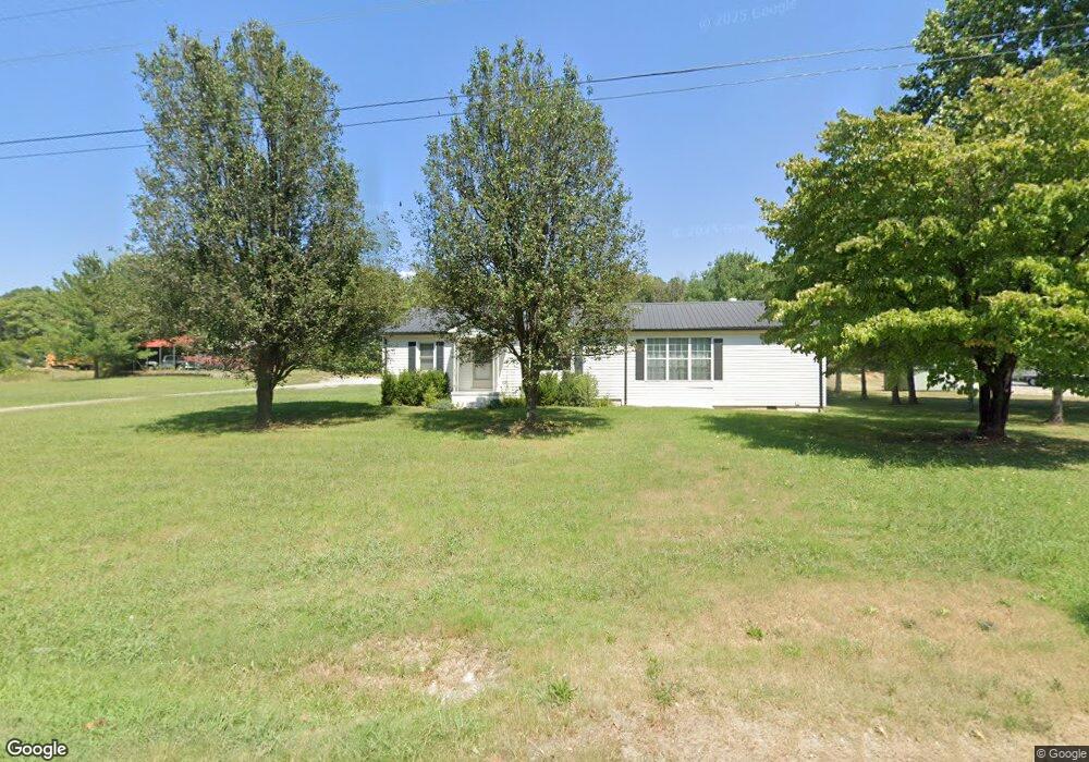
185 Roberts Matthews Hwy Sparta, TN 38583
Estimated Value: $156,000 - $258,000
--
Bed
1
Bath
1,690
Sq Ft
$118/Sq Ft
Est. Value
About This Home
This home is located at 185 Roberts Matthews Hwy, Sparta, TN 38583 and is currently estimated at $199,269, approximately $117 per square foot. 185 Roberts Matthews Hwy is a home located in White County with nearby schools including Woodland Park Elementary School, White County Middle School, and White County High School.
Ownership History
Date
Name
Owned For
Owner Type
Purchase Details
Closed on
Aug 26, 2022
Sold by
Boswell Paul and Boswell Patricia
Bought by
Barr Dennis and Barr Shauntae
Current Estimated Value
Home Financials for this Owner
Home Financials are based on the most recent Mortgage that was taken out on this home.
Original Mortgage
$61,172
Outstanding Balance
$58,339
Interest Rate
5.54%
Mortgage Type
New Conventional
Estimated Equity
$140,930
Purchase Details
Closed on
Dec 11, 1996
Bought by
Paul Boswell and Paul Patricia
Purchase Details
Closed on
Sep 16, 1974
Bought by
Allison Willie R and Allison Patricia
Create a Home Valuation Report for This Property
The Home Valuation Report is an in-depth analysis detailing your home's value as well as a comparison with similar homes in the area
Home Values in the Area
Average Home Value in this Area
Purchase History
| Date | Buyer | Sale Price | Title Company |
|---|---|---|---|
| Barr Dennis | $85,000 | Pointer Title | |
| Paul Boswell | $58,000 | -- | |
| Allison Willie R | -- | -- |
Source: Public Records
Mortgage History
| Date | Status | Borrower | Loan Amount |
|---|---|---|---|
| Open | Barr Dennis | $61,172 |
Source: Public Records
Tax History Compared to Growth
Tax History
| Year | Tax Paid | Tax Assessment Tax Assessment Total Assessment is a certain percentage of the fair market value that is determined by local assessors to be the total taxable value of land and additions on the property. | Land | Improvement |
|---|---|---|---|---|
| 2025 | $511 | $38,900 | $0 | $0 |
| 2024 | $511 | $24,950 | $5,500 | $19,450 |
| 2023 | $511 | $24,950 | $5,500 | $19,450 |
| 2022 | $511 | $24,950 | $5,500 | $19,450 |
| 2021 | $511 | $24,950 | $5,500 | $19,450 |
| 2020 | $511 | $24,950 | $5,500 | $19,450 |
| 2019 | $332 | $16,175 | $3,250 | $12,925 |
| 2018 | $332 | $16,175 | $3,250 | $12,925 |
| 2017 | $332 | $16,175 | $3,250 | $12,925 |
| 2016 | $332 | $16,175 | $3,250 | $12,925 |
| 2015 | $299 | $16,175 | $3,250 | $12,925 |
| 2014 | -- | $16,175 | $3,250 | $12,925 |
| 2013 | -- | $16,700 | $3,250 | $13,450 |
Source: Public Records
Map
Nearby Homes
- 196 Dairy Barn
- 128 N Turner Dr
- 476 Sunset Dr
- 147 Mayberry St
- 149 Central Cir
- 1165 Sullivan Knowles Rd
- 845 McMinnville Hwy
- 0 Knowles St
- 136 N Camp Heights Dr
- 25 Mayberry St
- 21 Ac N Spring St
- 244 W Bockman Way
- 226 Blackberry Ln
- 113 N Spring St
- 231 S Young St
- 0 Moore St
- 23 Acres Moore St
- 23 AC Moore St
- 301 W Everett St
- 2 Smithville Hwy
- ------ Spencer Hwy
- 000 Spencer Hwy
- ----- Spencer Hwy
- --- Spencer Hwy
- 5508Lot1 Spencer Hwy
- 5508lot2 Spencer Hwy
- 6.159 ac Spencer Hwy
- 5.964 ac Spencer Hwy
- 6964 Spencer Hwy
- 0000 Spencer Hwy
- 5.01 Spencer Hwy
- 0 Spencer Hwy
- 0 Fred Hill Rd Unit 196013
- 0 Fred Hill Rd Unit 1234706
- 0 Fred Hill Rd Unit RTC2553363
- 0 Fred Hill Rd Unit RTC2503059
- 0 Fred Hill Rd Unit 216249
- 0 Fred Hill Rd Unit RTC2385865
- 0 Fred Hill Rd Unit RTC2217976
- 339 Fred Hill Rd