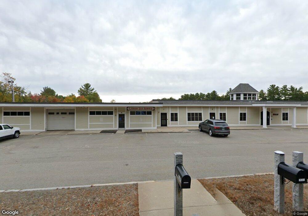
185 S Main St Newton, NH 03858
Estimated Value: $2,130,709
--
Bed
6
Baths
11,152
Sq Ft
$191/Sq Ft
Est. Value
About This Home
This home is located at 185 S Main St, Newton, NH 03858 and is currently estimated at $2,130,709, approximately $191 per square foot. 185 S Main St is a home located in Rockingham County with nearby schools including Memorial School, Sanborn Regional Middle School, and Sanborn Regional High School.
Ownership History
Date
Name
Owned For
Owner Type
Purchase Details
Closed on
Jul 16, 2004
Sold by
Cban Llc
Bought by
Early/S & R Exchange T
Current Estimated Value
Home Financials for this Owner
Home Financials are based on the most recent Mortgage that was taken out on this home.
Original Mortgage
$950,000
Interest Rate
6.25%
Mortgage Type
Commercial
Create a Home Valuation Report for This Property
The Home Valuation Report is an in-depth analysis detailing your home's value as well as a comparison with similar homes in the area
Home Values in the Area
Average Home Value in this Area
Purchase History
| Date | Buyer | Sale Price | Title Company |
|---|---|---|---|
| Early/S & R Exchange T | $950,000 | -- |
Source: Public Records
Mortgage History
| Date | Status | Borrower | Loan Amount |
|---|---|---|---|
| Open | Early/S & R Exchange T | $1,874,250 | |
| Closed | Early/S & R Exchange T | $1,200,000 | |
| Closed | Early/S & R Exchange T | $950,000 |
Source: Public Records
Tax History Compared to Growth
Tax History
| Year | Tax Paid | Tax Assessment Tax Assessment Total Assessment is a certain percentage of the fair market value that is determined by local assessors to be the total taxable value of land and additions on the property. | Land | Improvement |
|---|---|---|---|---|
| 2024 | $23,444 | $924,100 | $381,900 | $542,200 |
| 2023 | $22,742 | $924,100 | $381,900 | $542,200 |
| 2022 | $20,783 | $924,100 | $381,900 | $542,200 |
| 2021 | $19,251 | $921,100 | $381,900 | $539,200 |
| 2020 | $19,251 | $921,100 | $381,900 | $539,200 |
| 2019 | $24,557 | $930,900 | $393,200 | $537,700 |
| 2018 | $23,812 | $930,900 | $393,200 | $537,700 |
| 2017 | $24,743 | $930,900 | $393,200 | $537,700 |
| 2016 | $24,352 | $930,900 | $393,200 | $537,700 |
| 2015 | $24,362 | $930,900 | $393,200 | $537,700 |
| 2014 | $19,209 | $740,500 | $393,200 | $347,300 |
| 2013 | $18,735 | $740,500 | $393,200 | $347,300 |
Source: Public Records
Map
Nearby Homes
- 98 Sweet Hill Rd
- 1 White Cedar Way Unit 1
- 5 Wentworth Dr
- 55 Sweet Hill Rd
- 15 Bootland Farm Rd
- 18 Horizon Way
- 17 Horizon Way
- 135 Forrest St Unit 10
- 135 Forrest St Unit 4
- 4 Quaker St
- 3 W Parish Ln
- 14 Corliss Hill Rd
- 6 Palmer Ave
- 80 Brandy Brow Rd
- 15 Autumn Cir Unit A
- 3 Noyes Ln
- 15 Canterbury Forest Unit B
- 80 Margerie St
- 28 Forrest St
- 1 Elm St