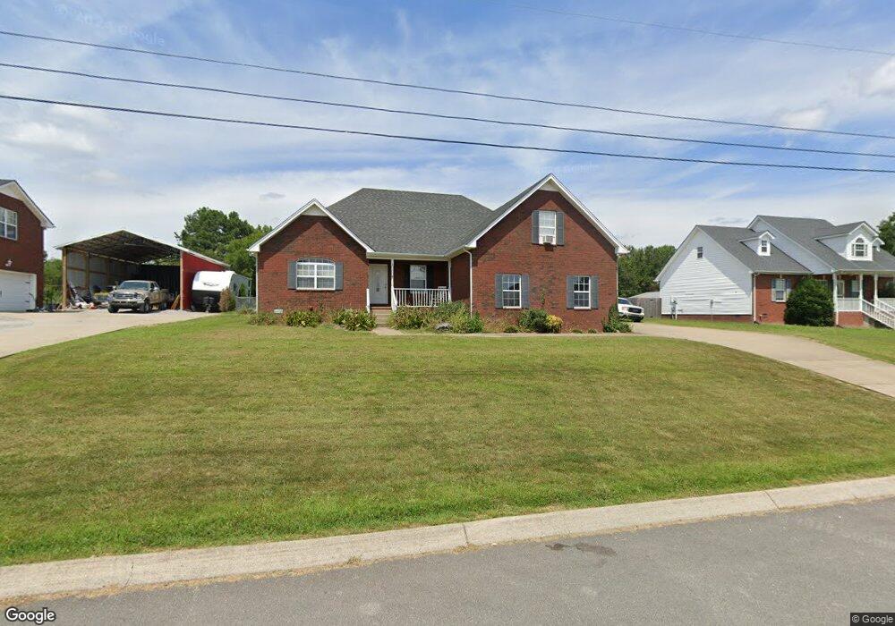
185 Tweedy Rd Ashland City, TN 37015
Joelton NeighborhoodEstimated Value: $387,082 - $462,000
--
Bed
2
Baths
1,896
Sq Ft
$225/Sq Ft
Est. Value
About This Home
This home is located at 185 Tweedy Rd, Ashland City, TN 37015 and is currently estimated at $426,521, approximately $224 per square foot. 185 Tweedy Rd is a home located in Cheatham County with nearby schools including East Cheatham Elementary School, Sycamore Middle School, and Sycamore High School.
Ownership History
Date
Name
Owned For
Owner Type
Purchase Details
Closed on
Feb 27, 2006
Sold by
Regal Homes Incorporated
Bought by
Herity Sheila C
Current Estimated Value
Home Financials for this Owner
Home Financials are based on the most recent Mortgage that was taken out on this home.
Original Mortgage
$141,600
Outstanding Balance
$79,458
Interest Rate
6.05%
Estimated Equity
$347,063
Purchase Details
Closed on
May 10, 2005
Bought by
Regal Homes Incorporated
Purchase Details
Closed on
Apr 30, 2003
Bought by
Reigle Daniel and Reigle Tina
Purchase Details
Closed on
Apr 2, 1974
Create a Home Valuation Report for This Property
The Home Valuation Report is an in-depth analysis detailing your home's value as well as a comparison with similar homes in the area
Home Values in the Area
Average Home Value in this Area
Purchase History
| Date | Buyer | Sale Price | Title Company |
|---|---|---|---|
| Herity Sheila C | $177,000 | -- | |
| Regal Homes Incorporated | $1,457,000 | -- | |
| Reigle Daniel | $472,000 | -- | |
| -- | -- | -- |
Source: Public Records
Mortgage History
| Date | Status | Borrower | Loan Amount |
|---|---|---|---|
| Open | Not Available | $141,600 |
Source: Public Records
Tax History Compared to Growth
Tax History
| Year | Tax Paid | Tax Assessment Tax Assessment Total Assessment is a certain percentage of the fair market value that is determined by local assessors to be the total taxable value of land and additions on the property. | Land | Improvement |
|---|---|---|---|---|
| 2024 | $1,729 | $99,875 | $10,175 | $89,700 |
| 2023 | $1,668 | $58,575 | $1,900 | $56,675 |
| 2022 | $1,577 | $58,575 | $1,900 | $56,675 |
| 2021 | $1,499 | $58,575 | $1,900 | $56,675 |
| 2020 | $1,499 | $55,700 | $1,900 | $53,800 |
| 2019 | $1,499 | $55,700 | $1,900 | $53,800 |
| 2018 | $1,892 | $60,275 | $2,800 | $57,475 |
| 2017 | $1,790 | $60,275 | $2,800 | $57,475 |
| 2016 | $1,703 | $60,275 | $2,800 | $57,475 |
| 2015 | $1,348 | $44,625 | $2,800 | $41,825 |
| 2014 | $1,348 | $44,625 | $2,800 | $41,825 |
Source: Public Records
Map
Nearby Homes
- 1086 Jason Cir
- 0 Old Clarksville Pike Unit RTC3017253
- 1068 Carl Perry Rd
- 1061 N Fork Dr
- 0 W Side Rd Unit RTC2756551
- 1055 Mead Dr
- 2633 Bearwallow Rd
- 1364 Eastland Dr
- 1436 Grassland Dr
- 1001 Homestead Trail
- 2143 Blue Springs Rd
- 6838 Old Clarksville Pike
- 5511 Highway 41a
- 1242 Peter Pond Rd
- 1010 Cherokee Ct
- 1120 Jacobs Ct
- 1051 Jacobs Valley Rd
- 1182 Mount Zion Rd
- 0 Morgan Unit RTC2905012
- 0 Fox Dr Unit RTC2538178