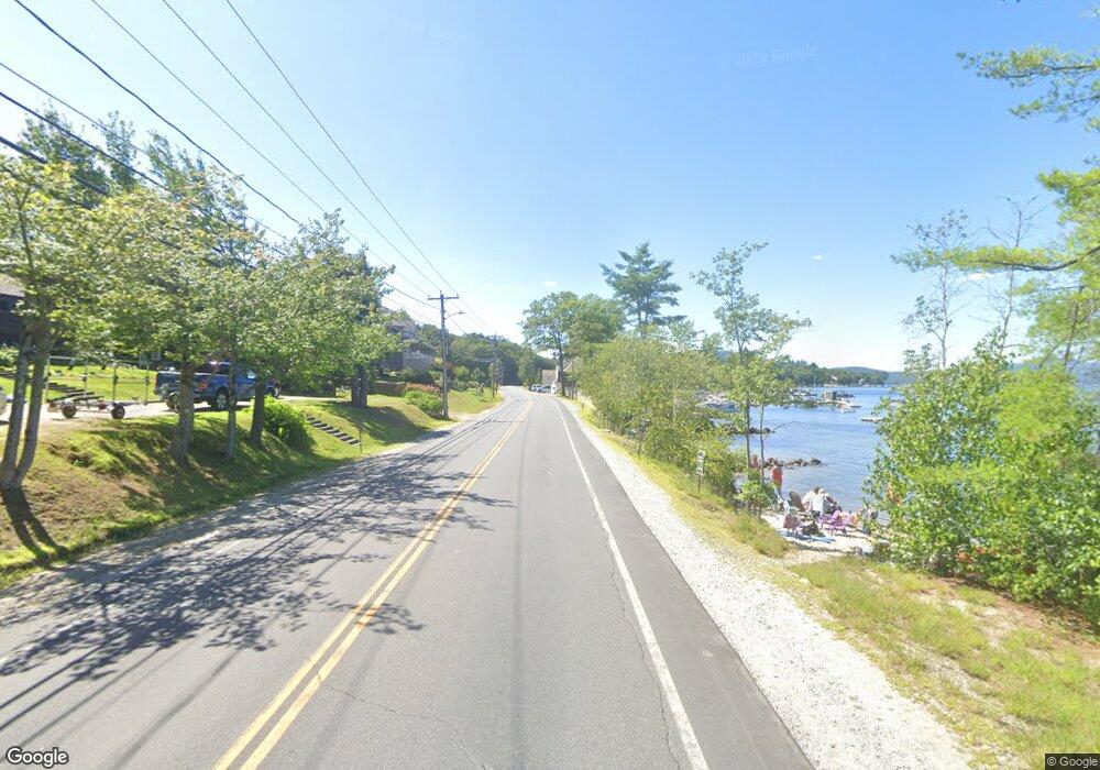
185 W Shore Rd Unit 185 Bristol, NH 03222
Estimated Value: $1,294,000 - $1,697,000
2
Beds
1
Bath
441
Sq Ft
$3,279/Sq Ft
Est. Value
About This Home
This home is located at 185 W Shore Rd Unit 185, Bristol, NH 03222 and is currently estimated at $1,446,097, approximately $3,279 per square foot. 185 W Shore Rd Unit 185 is a home located in Grafton County.
Ownership History
Date
Name
Owned For
Owner Type
Purchase Details
Closed on
Mar 22, 2016
Sold by
Neeb William H
Bought by
Neeb Christopher W and Naab Halle S
Current Estimated Value
Purchase Details
Closed on
Nov 10, 2010
Sold by
Lerner James and Lerner Lori A
Bought by
Neeb Christopher W and Neeb Halle S
Home Financials for this Owner
Home Financials are based on the most recent Mortgage that was taken out on this home.
Original Mortgage
$562,500
Interest Rate
4.35%
Mortgage Type
Purchase Money Mortgage
Create a Home Valuation Report for This Property
The Home Valuation Report is an in-depth analysis detailing your home's value as well as a comparison with similar homes in the area
Home Values in the Area
Average Home Value in this Area
Purchase History
| Date | Buyer | Sale Price | Title Company |
|---|---|---|---|
| Neeb Christopher W | -- | -- | |
| Neeb Christopher W | $562,500 | -- |
Source: Public Records
Mortgage History
| Date | Status | Borrower | Loan Amount |
|---|---|---|---|
| Previous Owner | Neeb Christopher W | $562,500 |
Source: Public Records
Tax History Compared to Growth
Tax History
| Year | Tax Paid | Tax Assessment Tax Assessment Total Assessment is a certain percentage of the fair market value that is determined by local assessors to be the total taxable value of land and additions on the property. | Land | Improvement |
|---|---|---|---|---|
| 2024 | $7,866 | $1,456,700 | $1,112,000 | $344,700 |
| 2023 | $7,121 | $883,500 | $689,700 | $193,800 |
| 2022 | $7,298 | $883,500 | $689,700 | $193,800 |
| 2021 | $7,307 | $883,500 | $689,700 | $193,800 |
| 2020 | $5,586 | $883,500 | $689,700 | $193,800 |
| 2019 | $6,196 | $634,800 | $450,300 | $184,500 |
| 2018 | $4,947 | $634,800 | $450,300 | $184,500 |
| 2017 | $6,107 | $634,800 | $450,300 | $184,500 |
| 2016 | $4,684 | $634,800 | $450,300 | $184,500 |
| 2015 | $5,832 | $599,400 | $415,500 | $183,900 |
| 2014 | $5,592 | $599,400 | $415,500 | $183,900 |
Source: Public Records
Map
Nearby Homes
- 383 Wulamat Rd
- 35 Manor Estates Dr Unit 14
- 40 Adams Rd
- 26 Don Gerry Rd
- 199 Cottage City Rd
- 125 Verrill Rd
- 29 Daniels Rd
- 333 Lake St
- 114 Ledgewood Terrace
- 80 Patten Rd
- 94 Mandi Ln
- 301 Perkins Hill Rd
- 4 Birchwood Dr Unit A
- 862 Mayhew Turnpike Unit 1
- Lot 7 Hall Rd
- 341 Perkins Hill Rd
- 00 Ledgewood Cir Unit 7
- 497 W Shore Rd
- 135 Pleasant St
- 30 Beech St Unit 4B
- 183 W Shore Rd
- 187 W Shore Rd Unit 187
- 3 W Shore Rd
- lot 3 Shore W
- 7 W Shore Rd Unit HS-7
- 7 W Shore Rd
- 261 W Shore Rd
- 271 W Shore Rd
- 7 Hemp Hill Rd
- 67 W Shore Rd Unit 1
- 67 W Shore Rd
- 45 Grandview Dr
- 45 Grandview Dr Unit 4
- 48 Grandview Dr Unit 8
- 48 Grandview Dr Unit 7
- 419 W Shore Rd
- 44 Grandview Dr Unit 5
- 44 Grandview Dr Unit 6
- 44 Grandview Dr
- 35 Grandview Dr Unit 2