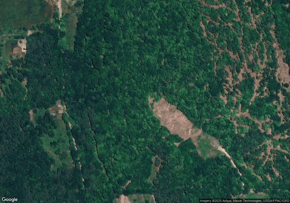
185 Watson Hill Rd Freedom, NH 03836
Estimated Value: $225,377 - $757,000
2
Beds
2
Baths
563
Sq Ft
$782/Sq Ft
Est. Value
About This Home
This home is located at 185 Watson Hill Rd, Freedom, NH 03836 and is currently estimated at $440,126, approximately $781 per square foot. 185 Watson Hill Rd is a home with nearby schools including Freedom Elementary School.
Ownership History
Date
Name
Owned For
Owner Type
Purchase Details
Closed on
Aug 18, 2016
Sold by
Santner Marcia C
Bought by
Marcia C Santner Ret
Current Estimated Value
Create a Home Valuation Report for This Property
The Home Valuation Report is an in-depth analysis detailing your home's value as well as a comparison with similar homes in the area
Home Values in the Area
Average Home Value in this Area
Purchase History
| Date | Buyer | Sale Price | Title Company |
|---|---|---|---|
| Marcia C Santner Ret | -- | -- |
Source: Public Records
Tax History Compared to Growth
Tax History
| Year | Tax Paid | Tax Assessment Tax Assessment Total Assessment is a certain percentage of the fair market value that is determined by local assessors to be the total taxable value of land and additions on the property. | Land | Improvement |
|---|---|---|---|---|
| 2024 | $1,000 | $139,298 | $121,898 | $17,400 |
| 2023 | $755 | $68,773 | $49,973 | $18,800 |
| 2022 | $706 | $68,998 | $50,198 | $18,800 |
| 2021 | $756 | $69,711 | $50,911 | $18,800 |
| 2020 | $743 | $69,638 | $50,838 | $18,800 |
| 2019 | $925 | $68,179 | $48,979 | $19,200 |
| 2018 | $884 | $68,337 | $49,137 | $19,200 |
| 2016 | $954 | $75,730 | $49,230 | $26,500 |
| 2015 | $980 | $80,987 | $54,487 | $26,500 |
| 2014 | $991 | $81,233 | $57,033 | $24,200 |
| 2013 | $1,013 | $81,944 | $57,744 | $24,200 |
Source: Public Records
Map
Nearby Homes
- Lot 12 Friedman Ln
- 50 Milford Ave
- 40 Independence Dr
- 146 Cold Brook Rd
- Lot 10 Friedman
- 43 Old Portland Rd
- 121 E Danforth Rd
- 5 Friedman Ln
- Lot 8 Friedman Ln
- 5-11 Friedman Ln
- 9 Abenaki Dr
- 112 N Broadbay Rd
- 128 Washington Rd Unit 66
- 118 Washington Rd Unit 55
- 16 Channel Rd
- Lot 3 Parsons Rd
- Lots 0-4 Parsons Rd
- Lot 2 Parsons Rd
- Lot 4 Parsons Rd
- 0 Willis Bean Unit 5006353
- 55 Burnham Rd
- 183 Watson Hill Rd
- 100 Burnham Rd
- 162 Watson Hill Rd
- 95 Burnham Rd
- 00 Burnham Rd
- 11 Ash Rd
- 114 Burnham Rd
- 20 Ash Rd
- 212 Burnham Rd Unit 1
- 212 Burnham Rd
- 283 Watson Hill Rd
- 289 Watson Hill Rd
- 159 Burnham Rd
- 306 Watson Hill Rd
- 293 Watson Hill Rd
- 85 Watson Hill Rd
- 110 Watson Hill Rd
- 77 Watson Hill Rd
- 572 Eaton Rd
