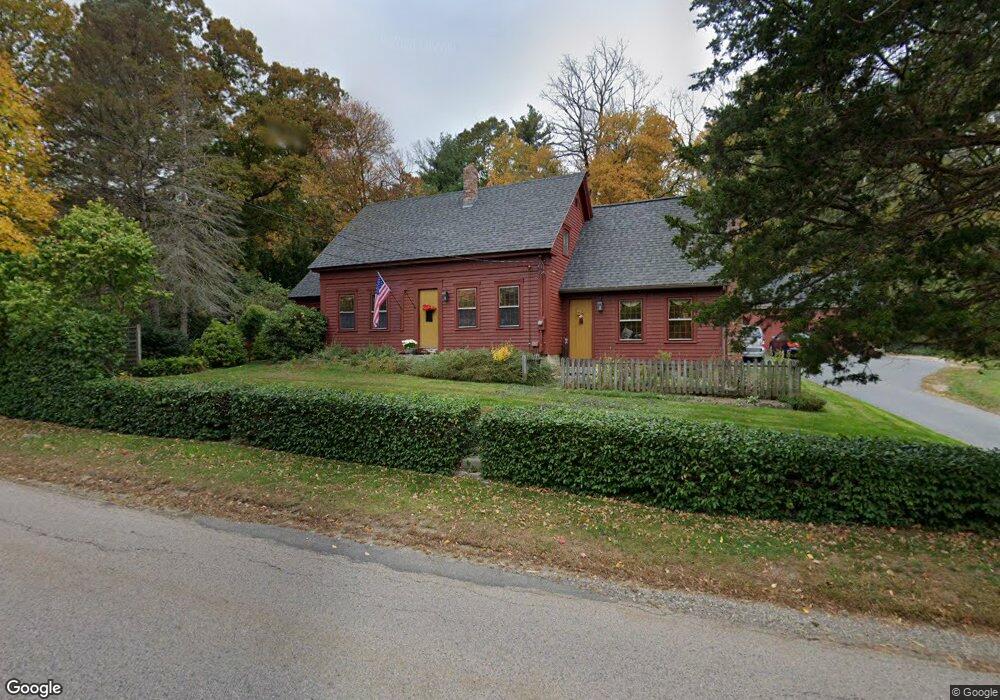
185 Whitins Rd Sutton, MA 01590
Estimated Value: $622,000 - $761,000
4
Beds
3
Baths
2,555
Sq Ft
$268/Sq Ft
Est. Value
About This Home
This home is located at 185 Whitins Rd, Sutton, MA 01590 and is currently estimated at $685,673, approximately $268 per square foot. 185 Whitins Rd is a home located in Worcester County with nearby schools including Sutton Elementary School, Sutton Middle School, and Sutton High School.
Create a Home Valuation Report for This Property
The Home Valuation Report is an in-depth analysis detailing your home's value as well as a comparison with similar homes in the area
Home Values in the Area
Average Home Value in this Area
Tax History
| Year | Tax Paid | Tax Assessment Tax Assessment Total Assessment is a certain percentage of the fair market value that is determined by local assessors to be the total taxable value of land and additions on the property. | Land | Improvement |
|---|---|---|---|---|
| 2025 | $7,538 | $627,100 | $180,300 | $446,800 |
| 2024 | $7,641 | $602,600 | $172,600 | $430,000 |
| 2023 | $7,590 | $548,000 | $156,600 | $391,400 |
| 2022 | $7,514 | $573,500 | $125,400 | $448,100 |
| 2021 | $7,514 | $469,600 | $125,400 | $344,200 |
| 2020 | $7,448 | $469,600 | $125,400 | $344,200 |
| 2019 | $7,279 | $440,600 | $125,400 | $315,200 |
| 2018 | $6,984 | $422,000 | $106,800 | $315,200 |
| 2017 | $5,499 | $333,300 | $93,900 | $239,400 |
| 2016 | $5,559 | $333,300 | $93,900 | $239,400 |
| 2015 | $5,359 | $321,300 | $93,900 | $227,400 |
| 2014 | $5,336 | $316,100 | $93,000 | $223,100 |
Source: Public Records
Map
Nearby Homes
- 8 Hough Rd
- 80 Barnett Rd
- 33 Nautical Way Unit 107
- 36 Compass Point Dr Unit 36
- 26 Compass Point Dr Unit 26
- 201 Prescott Rd
- 28 Johnson Rd
- 22 Gilboa St
- 5 B St
- 408 NE Main St
- 2 White Ct
- 37 Bayliss Way
- 108 Mumford St
- 4 1st St
- 22 Bayliss Way
- 14 C St
- 2 D St
- 158 Purgatory Rd
- 34 Crescent St Unit 34
- 41 Martin Rd
Your Personal Tour Guide
Ask me questions while you tour the home.