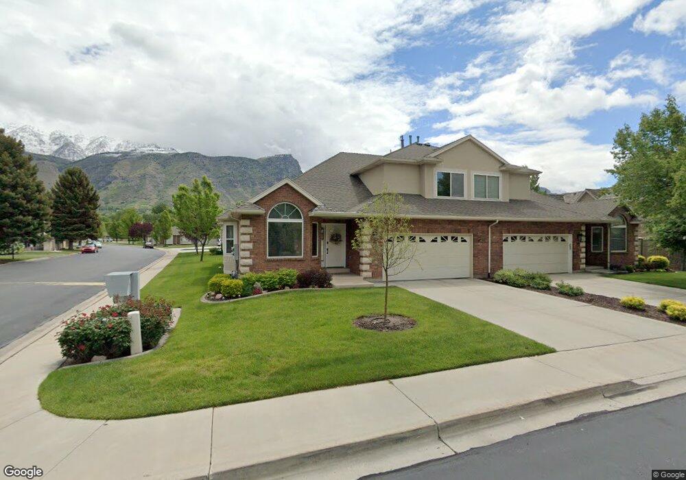
185 Woodside Dr Provo, UT 84604
Riverside NeighborhoodEstimated Value: $562,937 - $628,000
3
Beds
3
Baths
2,218
Sq Ft
$268/Sq Ft
Est. Value
About This Home
This home is located at 185 Woodside Dr, Provo, UT 84604 and is currently estimated at $594,979, approximately $268 per square foot. 185 Woodside Dr is a home located in Utah County with nearby schools including Canyon Crest Elementary School, Centennial Middle School, and Timpview High School.
Ownership History
Date
Name
Owned For
Owner Type
Purchase Details
Closed on
Aug 11, 2006
Sold by
Markham Ben S and Markham Julie C
Bought by
Call Carol
Current Estimated Value
Home Financials for this Owner
Home Financials are based on the most recent Mortgage that was taken out on this home.
Original Mortgage
$148,500
Outstanding Balance
$89,157
Interest Rate
6.76%
Mortgage Type
Purchase Money Mortgage
Estimated Equity
$505,822
Purchase Details
Closed on
Nov 19, 2003
Sold by
Markham Julie
Bought by
Markham Ben S and Markham Julie C
Purchase Details
Closed on
Jun 15, 1998
Sold by
Provo Cottages L C
Bought by
Markham Julie
Create a Home Valuation Report for This Property
The Home Valuation Report is an in-depth analysis detailing your home's value as well as a comparison with similar homes in the area
Home Values in the Area
Average Home Value in this Area
Purchase History
| Date | Buyer | Sale Price | Title Company |
|---|---|---|---|
| Call Carol | -- | First American Title Agency | |
| Markham Ben S | -- | -- | |
| Markham Julie | -- | Provol Land Title |
Source: Public Records
Mortgage History
| Date | Status | Borrower | Loan Amount |
|---|---|---|---|
| Open | Call Carol | $148,500 |
Source: Public Records
Tax History
| Year | Tax Paid | Tax Assessment Tax Assessment Total Assessment is a certain percentage of the fair market value that is determined by local assessors to be the total taxable value of land and additions on the property. | Land | Improvement |
|---|---|---|---|---|
| 2025 | $2,661 | $267,740 | -- | -- |
| 2024 | $2,661 | $261,965 | $0 | $0 |
| 2023 | $2,956 | $286,825 | $0 | $0 |
| 2022 | $2,981 | $291,665 | $0 | $0 |
| 2021 | $2,372 | $404,800 | $90,000 | $314,800 |
| 2020 | $2,365 | $378,300 | $90,000 | $288,300 |
| 2019 | $2,236 | $372,000 | $90,000 | $282,000 |
| 2018 | $1,986 | $335,200 | $90,000 | $245,200 |
| 2017 | $1,733 | $160,710 | $0 | $0 |
| 2016 | $1,860 | $160,710 | $0 | $0 |
| 2015 | $1,766 | $154,275 | $0 | $0 |
| 2014 | $1,540 | $140,250 | $0 | $0 |
Source: Public Records
Map
Nearby Homes
- 158 Woodside Dr
- 3240 Shadowbrook Dr
- 111 Candlewood Place
- 3305 N Shadowbrook Cir
- 3057 N 100 W
- 3013 N 100 W
- 2999 N Marrcrest West Dr
- 2939 N Marrcrest Dr W
- 404 W 3700 N
- 3025 N 250 E
- 5600 N Canyon Rd
- 1360 S Carterville Rd
- 3711 N Canyon Rd
- 2735 N Country Club Dr
- 745 S 900 E
- 528 E 3750 N
- 2774 N 370 E
- 544 S Carterville Rd
- 407 E 3900 Rd N Unit 1
- 407 E 3900 Rd N
- 185 Woodside Dr Unit 46
- 191 Woodside Dr
- 173 Woodside Dr
- 205 Woodside Dr
- 205 Woodside Dr Unit 48
- 3410 Brookside Dr
- 201 Woodside Dr
- 201 Woodside Dr Unit 47
- 180 Woodside Dr
- 180 Woodside Dr Unit 23
- 188 W 3300 N
- 3420 Brookside Dr
- 3424 Brookside Dr
- 166 Woodside Dr
- 202 W 3300 N
- 168 Woodside Dr
- 217 Woodside Dr
- 159 Woodside Dr
- 223 Woodside Dr
- 223 Woodside Dr Unit 50
Your Personal Tour Guide
Ask me questions while you tour the home.