Estimated Value: $338,208 - $483,000
4
Beds
2
Baths
2,164
Sq Ft
$191/Sq Ft
Est. Value
About This Home
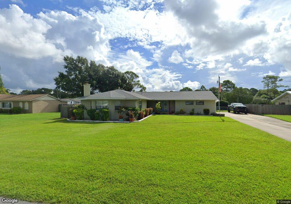
This home is located at 1850 Britt Rd, Cocoa, FL 32926 and is currently estimated at $414,302, approximately $191 per square foot. 1850 Britt Rd is a home located in Brevard County with nearby schools including Cocoa High School, Saturn Elementary School, and Space Coast Christian Academy.
Ownership History
Date
Name
Owned For
Owner Type
Purchase Details
Closed on
Nov 22, 2002
Sold by
Jacob Brian S
Bought by
Parrish Stephen C and Parrish Teresa C
Current Estimated Value
Home Financials for this Owner
Home Financials are based on the most recent Mortgage that was taken out on this home.
Original Mortgage
$100,000
Outstanding Balance
$42,070
Interest Rate
6.08%
Mortgage Type
Purchase Money Mortgage
Estimated Equity
$372,232
Purchase Details
Closed on
May 15, 2001
Sold by
Grove Mark C and Grove Amy L
Bought by
Jacob Brian S
Home Financials for this Owner
Home Financials are based on the most recent Mortgage that was taken out on this home.
Original Mortgage
$83,125
Interest Rate
6.98%
Purchase Details
Closed on
Jul 7, 1999
Sold by
Sass John A and Sass Jane O
Bought by
Grove Mark C and Grove Amy L
Home Financials for this Owner
Home Financials are based on the most recent Mortgage that was taken out on this home.
Original Mortgage
$75,900
Interest Rate
7.43%
Create a Home Valuation Report for This Property
The Home Valuation Report is an in-depth analysis detailing your home's value as well as a comparison with similar homes in the area
Home Values in the Area
Average Home Value in this Area
Purchase History
| Date | Buyer | Sale Price | Title Company |
|---|---|---|---|
| Parrish Stephen C | $125,000 | -- | |
| Jacob Brian S | $87,500 | -- | |
| Grove Mark C | $79,900 | -- |
Source: Public Records
Mortgage History
| Date | Status | Borrower | Loan Amount |
|---|---|---|---|
| Open | Parrish Stephen C | $100,000 | |
| Previous Owner | Jacob Brian S | $83,125 | |
| Previous Owner | Grove Mark C | $75,900 |
Source: Public Records
Tax History
| Year | Tax Paid | Tax Assessment Tax Assessment Total Assessment is a certain percentage of the fair market value that is determined by local assessors to be the total taxable value of land and additions on the property. | Land | Improvement |
|---|---|---|---|---|
| 2025 | $1,550 | $109,360 | -- | -- |
| 2024 | $1,512 | $106,280 | -- | -- |
| 2023 | $1,512 | $103,190 | $0 | $0 |
| 2022 | $1,411 | $100,190 | $0 | $0 |
| 2021 | $1,409 | $97,280 | $0 | $0 |
| 2020 | $1,332 | $95,940 | $0 | $0 |
| 2019 | $1,267 | $93,790 | $0 | $0 |
| 2018 | $1,258 | $92,050 | $0 | $0 |
| 2017 | $1,248 | $90,160 | $0 | $0 |
| 2016 | $1,250 | $88,310 | $19,000 | $69,310 |
| 2015 | $1,255 | $87,700 | $19,000 | $68,700 |
| 2014 | $1,254 | $87,010 | $19,000 | $68,010 |
Source: Public Records
Map
Nearby Homes
- 1870 Britt Rd
- TBD Rayburn Rd
- 4550 Highway 524
- 1817 Ponderosa St
- 1835 Longleaf Rd
- 4005 Pinyon Dr
- 5101 Craig Rd
- 5121 Dalehurst Dr
- 1325 Friday Rd
- 4651 N Friday Cir
- 2212 Spring Cir
- 3813 Stonemont Dr
- 3802 Arrowsmith Dr
- 3816 Parapet Dr
- 634 Outer Dr
- 5070 Junedale Dr
- 4600 Janet Rd
- 3826 Parapet Dr
- 755 Outer Dr Unit 362
- 785 Outer Dr
Your Personal Tour Guide
Ask me questions while you tour the home.