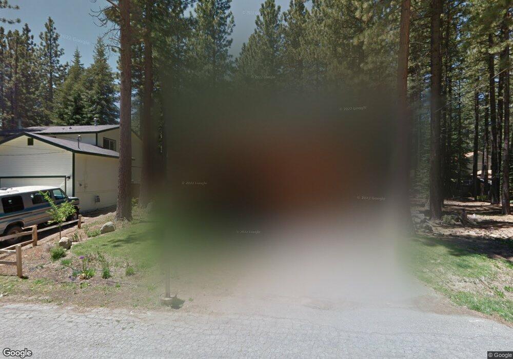
1850 Brule St South Lake Tahoe, CA 96150
Estimated Value: $559,000 - $743,000
3
Beds
3
Baths
1,681
Sq Ft
$392/Sq Ft
Est. Value
About This Home
This home is located at 1850 Brule St, South Lake Tahoe, CA 96150 and is currently estimated at $658,611, approximately $391 per square foot. 1850 Brule St is a home located in El Dorado County with nearby schools including Sierra House Elementary School, South Tahoe Middle School, and South Tahoe High School.
Ownership History
Date
Name
Owned For
Owner Type
Purchase Details
Closed on
Nov 7, 2014
Sold by
Evans Donald G and Evans Diana J
Bought by
Evans Donald G and Evans Diana J
Current Estimated Value
Home Financials for this Owner
Home Financials are based on the most recent Mortgage that was taken out on this home.
Original Mortgage
$339,000
Outstanding Balance
$261,210
Interest Rate
4.16%
Mortgage Type
New Conventional
Estimated Equity
$397,401
Purchase Details
Closed on
Jul 20, 1994
Sold by
Flint Ricky Lee and Flint Kathy Ann
Bought by
Evans Donald G and Evans Diana Arington
Home Financials for this Owner
Home Financials are based on the most recent Mortgage that was taken out on this home.
Original Mortgage
$154,350
Interest Rate
8.38%
Create a Home Valuation Report for This Property
The Home Valuation Report is an in-depth analysis detailing your home's value as well as a comparison with similar homes in the area
Home Values in the Area
Average Home Value in this Area
Purchase History
| Date | Buyer | Sale Price | Title Company |
|---|---|---|---|
| Evans Donald G | -- | Placer Title Company | |
| Evans Donald G | $171,500 | Placer Title Company |
Source: Public Records
Mortgage History
| Date | Status | Borrower | Loan Amount |
|---|---|---|---|
| Open | Evans Donald G | $339,000 | |
| Closed | Evans Donald G | $154,350 |
Source: Public Records
Tax History Compared to Growth
Tax History
| Year | Tax Paid | Tax Assessment Tax Assessment Total Assessment is a certain percentage of the fair market value that is determined by local assessors to be the total taxable value of land and additions on the property. | Land | Improvement |
|---|---|---|---|---|
| 2025 | $3,036 | $288,031 | $67,165 | $220,866 |
| 2024 | $3,036 | $282,385 | $65,849 | $216,536 |
| 2023 | $2,983 | $276,849 | $64,558 | $212,291 |
| 2022 | $2,953 | $271,422 | $63,293 | $208,129 |
| 2021 | $2,903 | $266,101 | $62,052 | $204,049 |
| 2020 | $2,864 | $263,373 | $61,416 | $201,957 |
| 2019 | $2,849 | $258,210 | $60,212 | $197,998 |
| 2018 | $2,785 | $253,148 | $59,032 | $194,116 |
| 2017 | $2,741 | $248,185 | $57,875 | $190,310 |
| 2016 | $2,685 | $243,320 | $56,741 | $186,579 |
| 2015 | $2,548 | $239,667 | $55,890 | $183,777 |
| 2014 | $2,548 | $234,975 | $54,797 | $180,178 |
Source: Public Records
Map
Nearby Homes
- 1882 Koyukon Dr
- 1870 Jicarilla Dr
- 1974 Susquehana Dr
- 1948 Jicarilla Dr
- 880 Onnontioga St
- 976 Onnontioga St
- 978 Onnontioga St
- 1851 Ibache St
- 881 Onnontioga St
- 2019 Apalachee Dr
- 1180 Tokochi St
- 1034 Turnback Trail
- 1188 Tokochi St
- 1199 Tokochi St
- 1121 Sundown Trail
- 1184 Lone Indian Trail
- 1623 Hekpa Dr
- 1209 Lone Indian Trail
- 1377 Bonanza Ave
- 1940 U S 50
- 1846 Brule St
- 1856 Brule St
- 1843 Koyukon Dr
- 1847 Koyukon Dr
- 1860 Brule St
- 1857 Brule St
- 1851 Brule St
- 1833 Koyukon Dr
- 1853 Koyukon Dr
- 1847 Brule St
- 1836 Brule St
- 1866 Brule St
- 1861 Brule St
- 1827 Koyukon Dr
- 1857 Koyukon Dr
- 1832 Brule St
- 1848 Hunkpapa St
- 1844 Koyukon Dr
- 1838 Koyukon Dr
- 1854 Hunkpapa St
