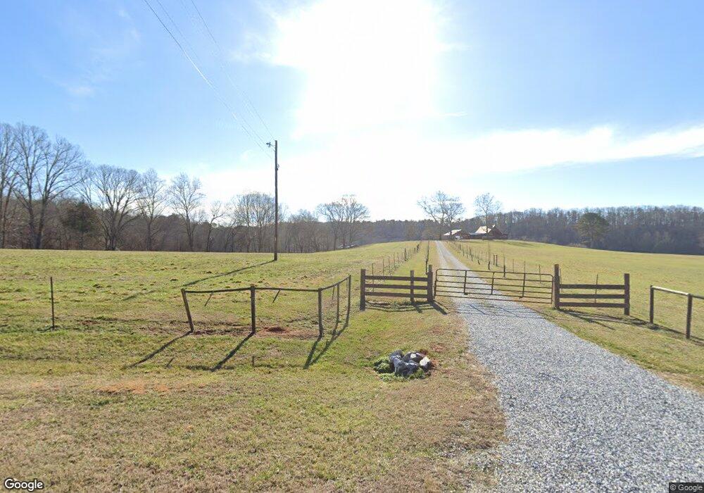
1850 Hardman Rd Clarkesville, GA 30523
Estimated Value: $748,000 - $1,027,897
3
Beds
3
Baths
2,865
Sq Ft
$311/Sq Ft
Est. Value
About This Home
This home is located at 1850 Hardman Rd, Clarkesville, GA 30523 and is currently estimated at $889,724, approximately $310 per square foot. 1850 Hardman Rd is a home located in Habersham County with nearby schools including Clarkesville Elementary School, North Habersham Middle School, and Habersham Success Academy.
Ownership History
Date
Name
Owned For
Owner Type
Purchase Details
Closed on
Jun 4, 2013
Sold by
Schinazi Raymond F
Bought by
Rfs Properties Llc
Current Estimated Value
Purchase Details
Closed on
Dec 19, 2011
Bought by
Williams Robert L
Purchase Details
Closed on
Feb 18, 2011
Sold by
Michael Douglas Edward
Bought by
Williams Development
Create a Home Valuation Report for This Property
The Home Valuation Report is an in-depth analysis detailing your home's value as well as a comparison with similar homes in the area
Home Values in the Area
Average Home Value in this Area
Purchase History
| Date | Buyer | Sale Price | Title Company |
|---|---|---|---|
| Rfs Properties Llc | -- | -- | |
| Schinazi Raymond F | $330,000 | -- | |
| Michael Douglas E | -- | -- | |
| Williams Robert L | -- | -- | |
| Williams Development | -- | -- |
Source: Public Records
Tax History Compared to Growth
Tax History
| Year | Tax Paid | Tax Assessment Tax Assessment Total Assessment is a certain percentage of the fair market value that is determined by local assessors to be the total taxable value of land and additions on the property. | Land | Improvement |
|---|---|---|---|---|
| 2025 | $8,612 | $361,867 | $33,185 | $328,682 |
| 2024 | -- | $445,496 | $24,060 | $421,436 |
| 2023 | $9,168 | $366,704 | $24,060 | $342,644 |
| 2022 | $7,567 | $290,184 | $20,260 | $269,924 |
| 2021 | $6,873 | $264,812 | $20,260 | $244,552 |
| 2020 | $6,120 | $227,536 | $17,728 | $209,808 |
| 2019 | $6,126 | $227,536 | $17,728 | $209,808 |
| 2018 | $5,522 | $206,716 | $17,728 | $188,988 |
| 2017 | $5,074 | $188,948 | $17,728 | $171,220 |
| 2016 | $3,543 | $339,690 | $17,728 | $118,148 |
| 2015 | $3,501 | $339,690 | $17,728 | $118,148 |
| 2014 | $3,465 | $330,000 | $17,728 | $114,272 |
| 2013 | -- | $160,564 | $41,788 | $118,776 |
Source: Public Records
Map
Nearby Homes
- 182 Hardman Rd
- 274 Hardman Rd
- 323 McCartan Trail
- 0 TRACT 1 Annandale Dr
- 0 TRACT 3 Annandale Dr
- 0 TRACT 2 Annandale Dr
- 0 TRACT 4 Annandale Dr
- 495 Annandale Dr
- 165 Pearl St
- 145 Goldust Ave
- 220 Hardman Rd
- 281 Grindstone Creek Dr
- 1867 Georgia 197
- 399 Grindstone Creek Dr
- 253 Grindstone Creek Dr
- 2041 Highway 197 N
- 281 Grindstone Creek Dr
- 1096 Sutton Mill Rd
- 501 the Orchard Rd
- 1688 Ben Jones Rd
- 1805 Hardman Rd
- 1857 Hardman Rd
- 0 Annandale Dr Unit 5 8263126
- 0 Annandale Dr Unit LOT 34 3286120
- 0 Annandale Dr Unit 20.4AC 7433826
- 0 Annandale Dr Unit 5.72AC 7433797
- 0 Annandale Dr Unit 5 8026691
- 0 Annandale Dr Unit 5B 8026833
- 0 Annandale Dr Unit TRACT 1 10479681
- 0 Annandale Dr Unit 10481997
- 0 Annandale Dr Unit 5.72AC 8079062
- 0 Annandale Dr Unit 8916783
- 0 Annandale Dr Unit 3279057
- 0 Annandale Dr Unit 7426860
- 0 Annandale Dr Unit 8206292
- 0 Annandale Dr Unit 8578010
- 110 Hardman Rd
- 434 Lamont Ln
- 0 Annandale Drive Tract 1 Unit 10479681
- 211 Lamont Ln