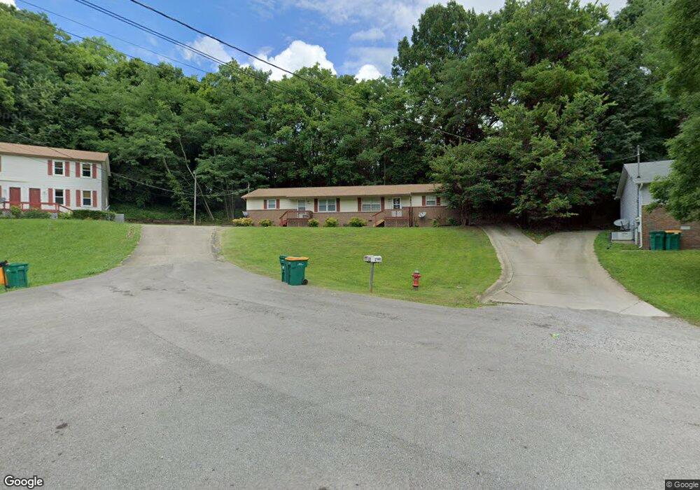
1850 Lowe St Lewisburg, TN 37091
Estimated Value: $223,503 - $311,000
--
Bed
2
Baths
1,944
Sq Ft
$143/Sq Ft
Est. Value
About This Home
This home is located at 1850 Lowe St, Lewisburg, TN 37091 and is currently estimated at $278,626, approximately $143 per square foot. 1850 Lowe St is a home located in Marshall County with nearby schools including Marshall Elementary School, Oak Grove Elementary School, and Westhills Elementary School.
Ownership History
Date
Name
Owned For
Owner Type
Purchase Details
Closed on
Jul 10, 2009
Sold by
Wilson Paul Adrian
Bought by
Clift Keith Lyndall
Current Estimated Value
Purchase Details
Closed on
Apr 4, 2007
Sold by
Mark Grant and Mark Carol
Bought by
Adrian Wilson Paul
Home Financials for this Owner
Home Financials are based on the most recent Mortgage that was taken out on this home.
Original Mortgage
$81,280
Interest Rate
6.1%
Purchase Details
Closed on
Oct 4, 2005
Bought by
Grant Mark A and Grant Carol A
Purchase Details
Closed on
Feb 25, 2005
Bought by
Grant Rick J and Grant Sally J
Create a Home Valuation Report for This Property
The Home Valuation Report is an in-depth analysis detailing your home's value as well as a comparison with similar homes in the area
Home Values in the Area
Average Home Value in this Area
Purchase History
| Date | Buyer | Sale Price | Title Company |
|---|---|---|---|
| Clift Keith Lyndall | $107,500 | -- | |
| Adrian Wilson Paul | $101,600 | -- | |
| Grant Mark A | $185,000 | -- | |
| Grant Rick J | $277,500 | -- |
Source: Public Records
Mortgage History
| Date | Status | Borrower | Loan Amount |
|---|---|---|---|
| Previous Owner | Grant Rick J | $81,280 | |
| Previous Owner | Grant Rick J | $15,240 |
Source: Public Records
Tax History Compared to Growth
Tax History
| Year | Tax Paid | Tax Assessment Tax Assessment Total Assessment is a certain percentage of the fair market value that is determined by local assessors to be the total taxable value of land and additions on the property. | Land | Improvement |
|---|---|---|---|---|
| 2024 | -- | $62,200 | $5,480 | $56,720 |
| 2023 | $1,930 | $62,200 | $5,480 | $56,720 |
| 2022 | $1,930 | $62,200 | $5,480 | $56,720 |
| 2021 | $1,628 | $35,000 | $5,480 | $29,520 |
| 2020 | $1,628 | $35,000 | $5,480 | $29,520 |
| 2019 | $1,576 | $35,000 | $5,480 | $29,520 |
| 2018 | $1,559 | $35,000 | $5,480 | $29,520 |
| 2017 | $1,559 | $35,000 | $5,480 | $29,520 |
| 2016 | $1,555 | $30,360 | $5,200 | $25,160 |
| 2015 | $1,418 | $30,360 | $5,200 | $25,160 |
| 2014 | $1,418 | $30,360 | $5,200 | $25,160 |
Source: Public Records
Map
Nearby Homes
- 530 David Ave
- 486 David Ave
- 541 Skyline Dr S
- 475 Skyline Dr
- 425 Centennial Ave
- 750 Lakehill Cir
- 2090 Wild Cherry Dr
- 2085 Wild Cherry Dr
- 2080 Wild Cherry Dr
- 575 Joyce Cir
- 601 Joyce Ave
- 795 Ashwood Ave
- 2095 Phillips St
- 347 Oakwood Dr
- 0 Joyce Ave
- 0 W Ellington Pkwy
- 1821 Gina Lynn Dr
- 1371 W Commerce St
- 1159 White Dr
- 240 Joyce Ave
- 1840 Lowe St
- 1860 Lowe St
- 1860 Lowe St Unit B
- 491 Moonlight Trail
- 1830 Lowe St
- 510 David Ave
- 2009 Moonlight Trail
- 1841 Lowe St
- 500 David Ave
- 1820 Lowe St
- 1851 Lowe St
- 1831 Lowe St
- 2021 Moonlight Trail
- 481 Moonlight Trail
- 521 Skyline Dr S
- 1821 Lowe St
- 494 David Ave
- 1810 Lowe St
- 488 David Ave
- 480 Moonlight Trail