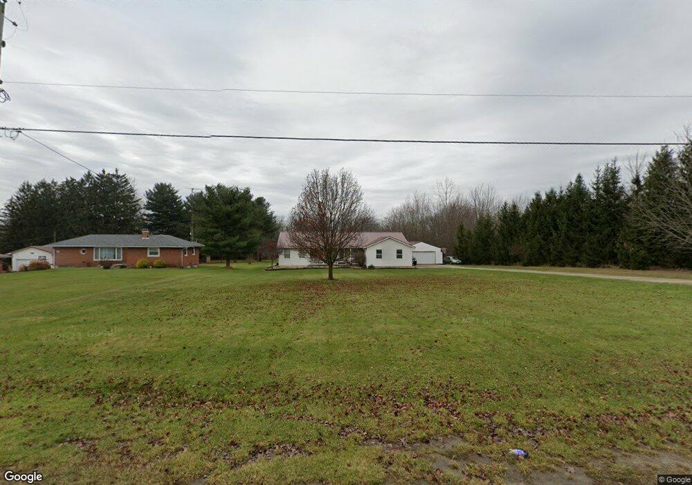
1850 State Route 61 Crestline, OH 44827
Estimated Value: $233,000 - $312,000
3
Beds
2
Baths
1,508
Sq Ft
$173/Sq Ft
Est. Value
About This Home
This home is located at 1850 State Route 61, Crestline, OH 44827 and is currently estimated at $261,141, approximately $173 per square foot. 1850 State Route 61 is a home located in Crawford County with nearby schools including Crestline High School, St. Joseph School, and St. Joseph Catholic School.
Ownership History
Date
Name
Owned For
Owner Type
Purchase Details
Closed on
Apr 25, 2006
Sold by
Tanner Anthony J and Tanner Donalyn P
Bought by
Sanders Robert T
Current Estimated Value
Home Financials for this Owner
Home Financials are based on the most recent Mortgage that was taken out on this home.
Original Mortgage
$58,500
Interest Rate
6.48%
Create a Home Valuation Report for This Property
The Home Valuation Report is an in-depth analysis detailing your home's value as well as a comparison with similar homes in the area
Home Values in the Area
Average Home Value in this Area
Purchase History
| Date | Buyer | Sale Price | Title Company |
|---|---|---|---|
| Sanders Robert T | -- | -- |
Source: Public Records
Mortgage History
| Date | Status | Borrower | Loan Amount |
|---|---|---|---|
| Closed | Sanders Robert T | $58,500 |
Source: Public Records
Tax History Compared to Growth
Tax History
| Year | Tax Paid | Tax Assessment Tax Assessment Total Assessment is a certain percentage of the fair market value that is determined by local assessors to be the total taxable value of land and additions on the property. | Land | Improvement |
|---|---|---|---|---|
| 2024 | $2,749 | $61,520 | $5,950 | $55,570 |
| 2023 | $2,505 | $55,200 | $4,610 | $50,590 |
| 2022 | $2,479 | $55,200 | $4,610 | $50,590 |
| 2021 | $2,446 | $55,200 | $4,610 | $50,590 |
| 2020 | $2,075 | $46,760 | $4,610 | $42,150 |
| 2019 | $2,114 | $46,760 | $4,610 | $42,150 |
| 2018 | $2,103 | $46,760 | $4,610 | $42,150 |
| 2017 | $1,994 | $35,450 | $4,610 | $30,840 |
| 2016 | $1,911 | $35,450 | $4,610 | $30,840 |
| 2015 | $1,882 | $35,450 | $4,610 | $30,840 |
| 2014 | $1,972 | $35,450 | $4,610 | $30,840 |
| 2013 | $1,972 | $35,450 | $4,610 | $30,840 |
Source: Public Records
Map
Nearby Homes
- 1047 Bibich Ct
- 880 S Thoman St
- 207 Maynard Ave
- 0 State Route 61
- 307 S Washington Ave
- 115 S Pierce St
- 608 W Bucyrus St
- 124 N Pearl St
- 223 Clink Blvd
- 324 N Henry St
- 601 Scott St
- 328 N Henry St
- 15 Park Circle Dr
- 415 N Columbus St
- 718 E Main St
- 338 Park Rd
- 379 N Wiley St
- 407 N Pearl St
- 444 County Line Rd
- 0 Heiser Ct
- 1838 State Route 61
- 1836 State Route 61
- 1836 State Route 61
- 1836 State Route 61
- 1822 State Route 61
- 1810 State Route 61
- 1810 State Route 61
- 1046 S Thoman St
- 1018 S Thoman St
- 1049 S Thoman St
- 1021 S Thoman St
- 7900 Middletown Rd
- 1000 S Thoman St
- 1011 S Thoman St
- 100 Etler Dr
- 1813 Naomi Dr
- 104 Etler Dr
- 964 S Thoman St
- 106 Etler Dr
- 0 St Rt 61