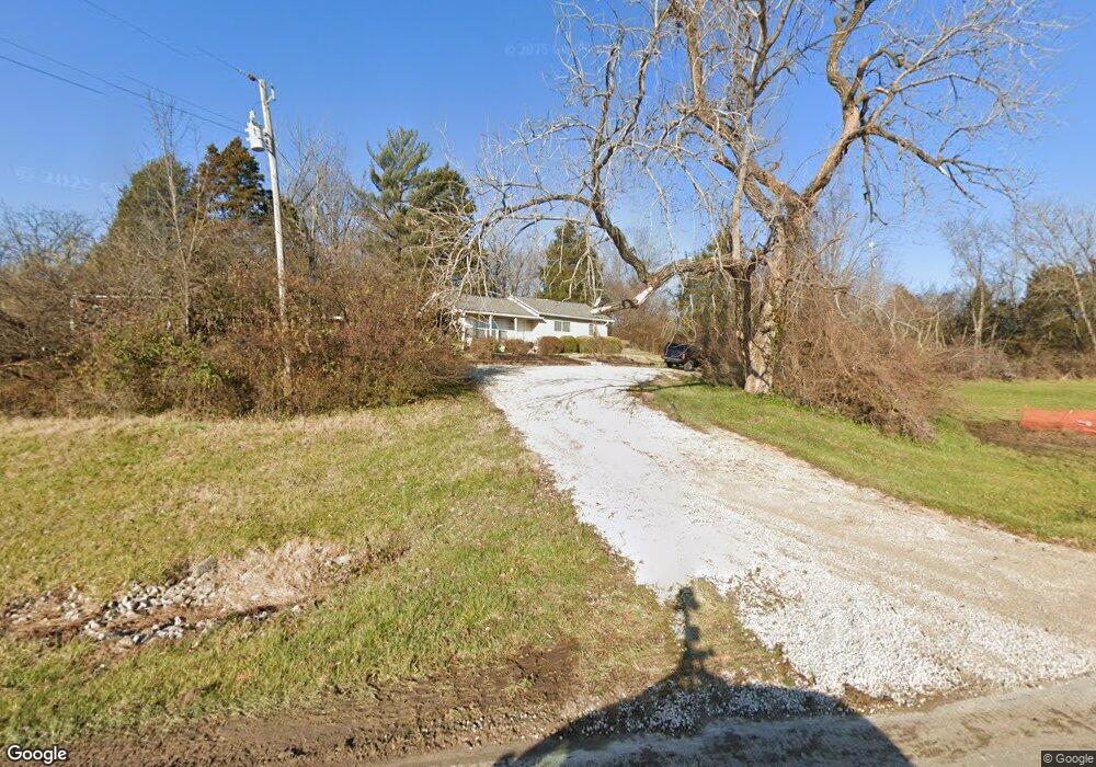
18505 Highway 100 Pacific, MO 63069
Estimated Value: $137,000 - $291,000
1
Bed
1
Bath
1,142
Sq Ft
$187/Sq Ft
Est. Value
About This Home
This home is located at 18505 Highway 100, Pacific, MO 63069 and is currently estimated at $213,649, approximately $187 per square foot. 18505 Highway 100 is a home located in St. Louis County with nearby schools including Pond Elementary School, Rockwood Valley Middle School, and Lafayette High School.
Ownership History
Date
Name
Owned For
Owner Type
Purchase Details
Closed on
Apr 9, 2007
Sold by
Huddleston Linda M and Huddleston David T
Bought by
Hayes Terry L
Current Estimated Value
Home Financials for this Owner
Home Financials are based on the most recent Mortgage that was taken out on this home.
Original Mortgage
$56,000
Outstanding Balance
$33,934
Interest Rate
6.19%
Mortgage Type
Purchase Money Mortgage
Estimated Equity
$179,715
Create a Home Valuation Report for This Property
The Home Valuation Report is an in-depth analysis detailing your home's value as well as a comparison with similar homes in the area
Home Values in the Area
Average Home Value in this Area
Purchase History
| Date | Buyer | Sale Price | Title Company |
|---|---|---|---|
| Hayes Terry L | $70,000 | None Available |
Source: Public Records
Mortgage History
| Date | Status | Borrower | Loan Amount |
|---|---|---|---|
| Open | Hayes Terry L | $56,000 |
Source: Public Records
Tax History Compared to Growth
Tax History
| Year | Tax Paid | Tax Assessment Tax Assessment Total Assessment is a certain percentage of the fair market value that is determined by local assessors to be the total taxable value of land and additions on the property. | Land | Improvement |
|---|---|---|---|---|
| 2025 | $1,859 | $33,630 | $10,510 | $23,120 |
| 2024 | $1,859 | $27,130 | $9,610 | $17,520 |
| 2023 | $1,858 | $27,130 | $9,610 | $17,520 |
| 2022 | $1,408 | $19,090 | $8,700 | $10,390 |
| 2021 | $1,398 | $19,090 | $8,700 | $10,390 |
| 2020 | $869 | $11,320 | $8,700 | $2,620 |
| 2019 | $873 | $11,320 | $8,700 | $2,620 |
| 2018 | $1,224 | $14,970 | $8,700 | $6,270 |
| 2017 | $1,194 | $14,970 | $8,700 | $6,270 |
| 2016 | $1,534 | $18,490 | $11,210 | $7,280 |
| 2015 | $1,521 | $18,490 | $11,210 | $7,280 |
| 2014 | $1,516 | $17,970 | $5,620 | $12,350 |
Source: Public Records
Map
Nearby Homes
- 3360 W Eden Dr
- 3340 W Eden Dr
- 3347 W Eden Dr
- 3372 W Eden Dr
- 3379 W Eden Dr
- 18498 Hollow Hills Dr
- 3347 Wilderness Trail
- 18520 Hawks Hill Rd
- 18244 Buckboard
- 3921 Allenton Rd
- 19140 Melrose Rd
- 18604 Saint Albans Rd
- 18700 Saint Albans Rd
- 179 Stonesthrow Dr
- 3107 Bouquet Rd
- 19227 Melrose Rd
- 19217 Falzone Rd
- 2808 Saint Albans Forest Ct
- 19109 Old Manchester Rd
- 19049 Bear Trail Rd
- 18518 Melrose Rd
- 18515 Melrose Rd
- 3524 August Tavern Creek Rd
- 3512 August Tavern Creek Rd
- 0TBB Lot 22 August Tavern Creek
- 0TBB Lot 16 August Tavern Creek
- 0TBB Lot 24 August Tavern Creek
- 0TBB Lot 25 August Tavern Creek
- 18448 Melrose Rd
- 3536 August Tavern Creek Rd
- 3525 August Tavern Creek Rd
- 18503 Great Meadow Rd
- 3537 August Tavern Creek Rd
- 11 August Tavern Creek Lot
- 18456 Woodland Meadows Dr
- 3366 W Eden Dr
- 18510 Great Meadow Rd
- 18425 Melrose Rd
- 3548 August Tavern Creek Rd
- 1752817532 Melrose Rd