18505 S Mound Rd Sherrill, IA 52073
Estimated Value: $147,000
3
Beds
2
Baths
980
Sq Ft
$150/Sq Ft
Est. Value
About This Home
This home is located at 18505 S Mound Rd, Sherrill, IA 52073 and is currently estimated at $147,000, approximately $150 per square foot. 18505 S Mound Rd is a home located in Dubuque County with nearby schools including Sageville Elementary School, Thomas Jefferson Middle School, and Hempstead High School.
Ownership History
Date
Name
Owned For
Owner Type
Purchase Details
Closed on
Oct 24, 2013
Sold by
Clifford Holdings Llc
Bought by
Kutsch Nathan F
Current Estimated Value
Purchase Details
Closed on
Jun 6, 2013
Sold by
Mercy Radiologists Of Dubuque Pc Money P
Bought by
Clifford Holdings Llc
Purchase Details
Closed on
Mar 1, 2012
Sold by
Mercy Radiologists Of Dubuque Pc Money P
Bought by
Kutsch Nathan F
Home Financials for this Owner
Home Financials are based on the most recent Mortgage that was taken out on this home.
Original Mortgage
$225,000
Interest Rate
4.01%
Mortgage Type
Seller Take Back
Create a Home Valuation Report for This Property
The Home Valuation Report is an in-depth analysis detailing your home's value as well as a comparison with similar homes in the area
Home Values in the Area
Average Home Value in this Area
Purchase History
| Date | Buyer | Sale Price | Title Company |
|---|---|---|---|
| Kutsch Nathan F | -- | None Available | |
| Clifford Holdings Llc | -- | None Available | |
| Kutsch Nathan F | $240,000 | None Available |
Source: Public Records
Mortgage History
| Date | Status | Borrower | Loan Amount |
|---|---|---|---|
| Previous Owner | Kutsch Nathan F | $225,000 |
Source: Public Records
Tax History Compared to Growth
Tax History
| Year | Tax Paid | Tax Assessment Tax Assessment Total Assessment is a certain percentage of the fair market value that is determined by local assessors to be the total taxable value of land and additions on the property. | Land | Improvement |
|---|---|---|---|---|
| 2025 | $1,208 | $88,092 | $76,792 | $11,300 |
| 2024 | $1,208 | $68,842 | $58,742 | $10,100 |
| 2023 | $1,160 | $68,842 | $58,742 | $10,100 |
| 2022 | $1,212 | $59,390 | $46,840 | $12,550 |
| 2021 | $1,212 | $63,142 | $50,592 | $12,550 |
| 2020 | $1,222 | $61,724 | $49,244 | $12,480 |
| 2019 | $1,214 | $61,724 | $49,244 | $12,480 |
| 2018 | $1,176 | $85,219 | $70,189 | $15,030 |
| 2017 | $1,078 | $85,219 | $70,189 | $15,030 |
| 2016 | $2,240 | $87,284 | $74,714 | $12,570 |
| 2015 | $2,240 | $166,654 | $74,714 | $91,940 |
| 2014 | $1,998 | $156,657 | $68,227 | $88,430 |
Source: Public Records
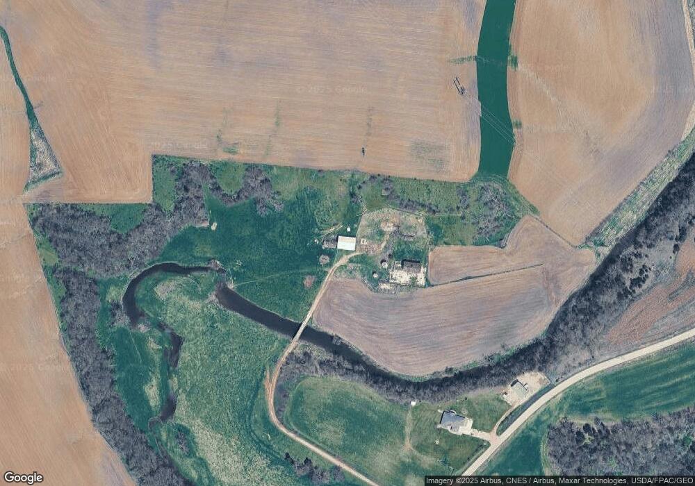
Map
Nearby Homes
- Lot 1 Twin Cedar Dr
- Lot 2 Twin Cedar Dr
- Lot 3 Twin Cedar Dr
- 16800 Carmen Oaks Dr
- Lot 2-1 Creek Valley Acres
- 17234 Balltown Rd
- Lots 3 & 4 5 Points Rd
- LOT 26 Gretchen Ct
- LOT 25 Gretchen Ct
- 16978 Asbury Rd
- 20216 Kruse Ln
- 2189 Tuscany Ridge Dr
- Lot 1 of 3 Regency Dr
- Lot 33 Tuscany Ridge Dr
- Lot 2 Tuscany Ridge Dr
- 15441 Stacie Ct
- Lot 22 Keegan Ct
- Lot 18 Keegan Ct
- Lot 2-2 Hidden Meadows Dr
- 14435 Mill Ridge Rd