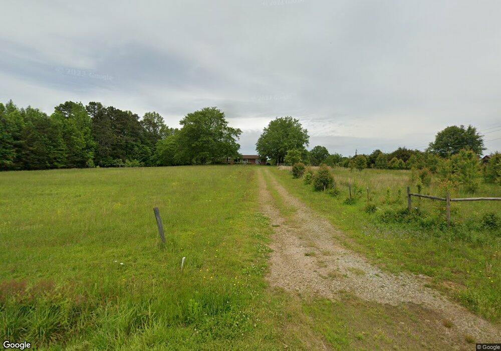
1851 Demorest Mount Airy Hwy Mount Airy, GA 30563
Estimated Value: $278,000 - $354,000
3
Beds
1
Bath
1,960
Sq Ft
$160/Sq Ft
Est. Value
About This Home
This home is located at 1851 Demorest Mount Airy Hwy, Mount Airy, GA 30563 and is currently estimated at $313,540, approximately $159 per square foot. 1851 Demorest Mount Airy Hwy is a home located in Habersham County with nearby schools including Demorest Elementary School, Wilbanks Middle School, and Habersham Success Academy.
Ownership History
Date
Name
Owned For
Owner Type
Purchase Details
Closed on
Jul 31, 2025
Sold by
Stover David F
Bought by
Gerrin Cameron and Gerrin Mark Anthony
Current Estimated Value
Home Financials for this Owner
Home Financials are based on the most recent Mortgage that was taken out on this home.
Original Mortgage
$241,414
Outstanding Balance
$241,203
Interest Rate
6.67%
Mortgage Type
New Conventional
Estimated Equity
$72,337
Purchase Details
Closed on
Apr 1, 2006
Sold by
Not Provided
Bought by
Stover David F and Stover Diane H
Home Financials for this Owner
Home Financials are based on the most recent Mortgage that was taken out on this home.
Original Mortgage
$90,000
Interest Rate
6.29%
Mortgage Type
New Conventional
Create a Home Valuation Report for This Property
The Home Valuation Report is an in-depth analysis detailing your home's value as well as a comparison with similar homes in the area
Home Values in the Area
Average Home Value in this Area
Purchase History
| Date | Buyer | Sale Price | Title Company |
|---|---|---|---|
| Gerrin Cameron | $239,000 | -- | |
| Stover David F | -- | -- |
Source: Public Records
Mortgage History
| Date | Status | Borrower | Loan Amount |
|---|---|---|---|
| Open | Gerrin Cameron | $241,414 | |
| Previous Owner | Stover David F | $90,000 |
Source: Public Records
Tax History Compared to Growth
Tax History
| Year | Tax Paid | Tax Assessment Tax Assessment Total Assessment is a certain percentage of the fair market value that is determined by local assessors to be the total taxable value of land and additions on the property. | Land | Improvement |
|---|---|---|---|---|
| 2025 | $2,814 | $116,468 | $37,369 | $79,099 |
| 2024 | $2,042 | $78,692 | $26,516 | $52,176 |
| 2023 | $1,753 | $70,100 | $26,516 | $43,584 |
| 2022 | $1,377 | $61,224 | $23,572 | $37,652 |
| 2021 | $1,294 | $54,588 | $20,624 | $33,964 |
| 2020 | $1,278 | $50,076 | $20,624 | $29,452 |
| 2019 | $1,280 | $50,076 | $20,624 | $29,452 |
| 2018 | $1,270 | $50,076 | $20,624 | $29,452 |
| 2017 | $1,082 | $42,200 | $14,732 | $27,468 |
| 2016 | $1,048 | $105,500 | $14,732 | $27,468 |
| 2015 | $1,036 | $105,500 | $14,732 | $27,468 |
| 2014 | $1,051 | $105,060 | $14,732 | $27,292 |
| 2013 | -- | $42,024 | $14,732 | $27,292 |
Source: Public Records
Map
Nearby Homes
- 204 Linwood Dr
- 254 Oakdale Dr
- 161 Wayward Winds Dr
- 221 Mcallister Rd
- 310 Wilson Rd
- 166 Towerview Cir
- 1576 Chase Rd
- 421 Chase Cir
- 676 Sweetgrass Dr
- 417 Sweetgrass Dr
- 408 Sweetgrass Dr
- 1344 Blue Grass Ct
- 2894 Chase Rd
- 787 Ansley Rd
- 877 Sweetgrass Ct
- 4444 State Highway 365
- 820 Camp Creek Rd
- 368 Sweetgrass Dr
- 323 Sweetgrass Dr
- 865 Sweetgrass Ct
- 119 Edgewood Dr
- 181 Edgewood Dr
- 231 Edgewood Dr
- 184 Edgewood Dr
- 212 Edgewood Dr
- 150 Edgewood Dr
- 102 Edgewood Dr
- 1838 Demorest Mount Airy Hwy
- 253 Edgewood Dr
- 1882 Demorest Mount Airy Hwy
- 1806 Demorest Mount Airy Hwy
- 260 Edgewood Dr
- 0 Edgewood Dr Unit 8671247
- 0 Edgewood Dr Unit 8163771
- 0 Edgewood Dr Unit 8058951
- 0 Edgewood Dr Unit 7604060
- 2025 Demorest Mount Airy Hwy
- 1789 Demorest Mount Airy Hwy
- 226 E Russ Stephens Rd
- 280 Edgewood Dr