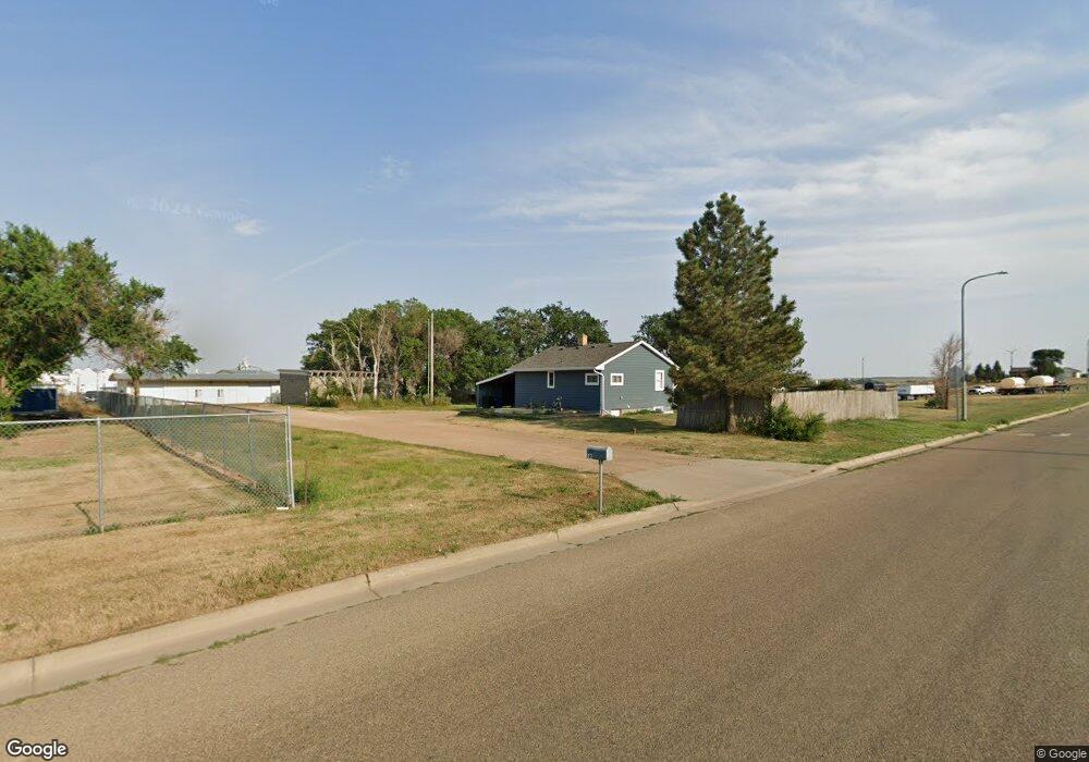
1851 I94 Business Loop E Dickinson, ND 58601
Estimated Value: $399,790 - $496,000
6
Beds
2
Baths
1,838
Sq Ft
$245/Sq Ft
Est. Value
About This Home
This home is located at 1851 I94 Business Loop E, Dickinson, ND 58601 and is currently estimated at $450,263, approximately $244 per square foot. 1851 I94 Business Loop E is a home located in Stark County with nearby schools including Trinity Elementary School West, Trinity Elementary School East, and St. Joseph School.
Ownership History
Date
Name
Owned For
Owner Type
Purchase Details
Closed on
Nov 15, 2007
Sold by
Kadrmas Zane E and Kadrmas Katherine
Bought by
Kline Zane O and Kline Judith L
Current Estimated Value
Home Financials for this Owner
Home Financials are based on the most recent Mortgage that was taken out on this home.
Original Mortgage
$173,280
Outstanding Balance
$104,354
Interest Rate
5.9%
Mortgage Type
FHA
Estimated Equity
$345,909
Create a Home Valuation Report for This Property
The Home Valuation Report is an in-depth analysis detailing your home's value as well as a comparison with similar homes in the area
Home Values in the Area
Average Home Value in this Area
Purchase History
| Date | Buyer | Sale Price | Title Company |
|---|---|---|---|
| Kline Zane O | -- | Title & Escrowinc |
Source: Public Records
Mortgage History
| Date | Status | Borrower | Loan Amount |
|---|---|---|---|
| Open | Kline Zane O | $173,280 |
Source: Public Records
Tax History
| Year | Tax Paid | Tax Assessment Tax Assessment Total Assessment is a certain percentage of the fair market value that is determined by local assessors to be the total taxable value of land and additions on the property. | Land | Improvement |
|---|---|---|---|---|
| 2025 | $1,315 | $271,500 | $60,600 | $210,900 |
| 2024 | $1,152 | $271,500 | $60,600 | $210,900 |
| 2023 | $705 | $271,500 | $60,600 | $210,900 |
| 2022 | $1,573 | $129,050 | $0 | $0 |
| 2021 | $1,578 | $253,400 | $60,600 | $192,800 |
| 2020 | $1,600 | $253,400 | $60,600 | $192,800 |
| 2019 | $1,866 | $253,400 | $60,600 | $192,800 |
| 2017 | $2,401 | $263,600 | $60,600 | $203,000 |
| 2015 | $2,401 | $314,200 | $61,700 | $252,500 |
| 2014 | $2,133 | $305,600 | $61,700 | $243,900 |
| 2013 | -- | $296,700 | $61,700 | $235,000 |
Source: Public Records
Map
Nearby Homes
- 0 Lot 1 Block 5 East Dale 4th Unit 25-1094
- 881 Mustang Ave
- 816 17th Ave E
- 0 Unit 25-1093
- 0 Lot 3 Block 5 East Dale 4th Unit 25-1092
- 390 Baker Ave
- 1161 6th St E
- 1377 8th St E
- 0 14th Ave E Unit 24-492
- 263 Adams Ave
- 873 25th Ave E
- 0 9th St E
- 0 17 65 Acres
- 930 Shinagle Dr
- 127 8th Ave E
- 977 Shinagle Dr
- 0 7th Ave E
- 858 Elm Ave
- 687 Custer St
- 891 Dell Ave
- 596 18th Ave E
- 1917 Interstate 94 Business Loop
- 0 20th Ave E
- 0 20th Ave E
- 1763 Carroll St Unit 102
- 655 20th Ave E
- 674 20th Ave E
- 1785 Lincoln St (East 1 2)
- 1765 Lincoln St (West 1 2)
- 1785 Lincoln St
- 694 20th Ave E
- 1737 Lincoln St
- 1729 Lincoln St
- 1852 I94 Business Loop E
- 0 21st Ave E
- 1699 Lincoln St
- 1914 Dennys St
- 1691 Lincoln St
- 1772 6th St E
- 1924 Dennys St
Your Personal Tour Guide
Ask me questions while you tour the home.